Welcome to the epilogue: the Epiblog! I promise that THIS will be my last post, and I think I mean it this time. A lot’s happened since I ceased my Widdershins, yet the world has also seemingly stopped spinning. This will be a very myopic take on it (you are reading my blog after all). To let you know what you should expect in this lengthy post, I’ll update you on my last 9 months which culminates in yet another big trip, documented in painstaking details which you can skip to below.
But first, I thought and talked a bit about privilege throughout my traveling and blogging and it fully extends to not just my experiences while abroad but also life during COVID (and very much exists in my choosing what I blog about). There have been a lot of horrific things this year, between the pandemic, social justice and human rights issues, and natural disasters to name a few. I’m generally leaving this out of my updating the last 8 months because we’ve all lived it and this is a travel blog, not an op-ed. Hopefully this is a welcome break from the current news cycle. I do have dreams of publishing all of this into a single coffee table book and for that I expect I would elaborate on recent current events in this epilogue, but as usual, I digress.
As I shared back in February 2020, I scheduled my Widdershinning homecoming in part to enable a couple of job interviews. What began as a promising job search quickly devolved into chaos, with both searches I was interviewing for being cancelled or postponed due to Coronavirus. Looking back, I chuckle ironically at my assessment from the Osaka Airport where I described it as “traveling during the height of the virus.” My time in Japan was at the end of January, and it was nowhere near the beginning of the impact the virus would have on us. Being unemployed during the virus has had it’s challenges, but I recognize that I am extremely fortunate to have both completed my trip prior, and in having a place to live cohabitating with supportive family while trying to sort out a life for myself in this new normal. So other than interviewing for failed searches, what have I been up to?
February was great. Oh early 2020, how I miss thee so. I returned to a thawing New York with a brimming social schedule chockfull of visits to friends and family, concerts, dining out, a wedding, looking for work, and decompressing.
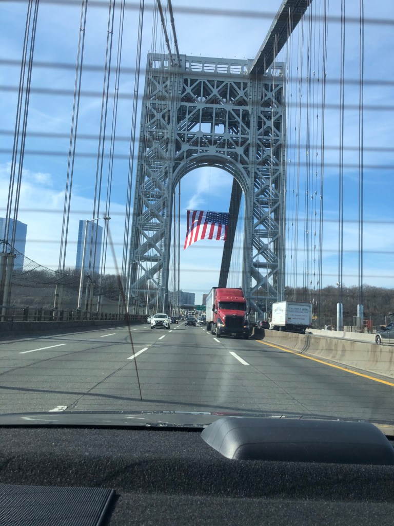
America! 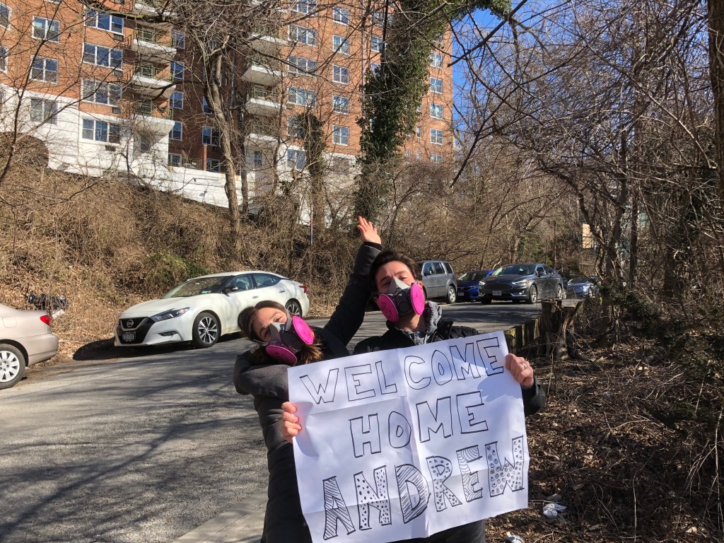
Wearing masks before it was the status quo 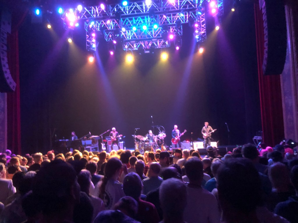
Live music! 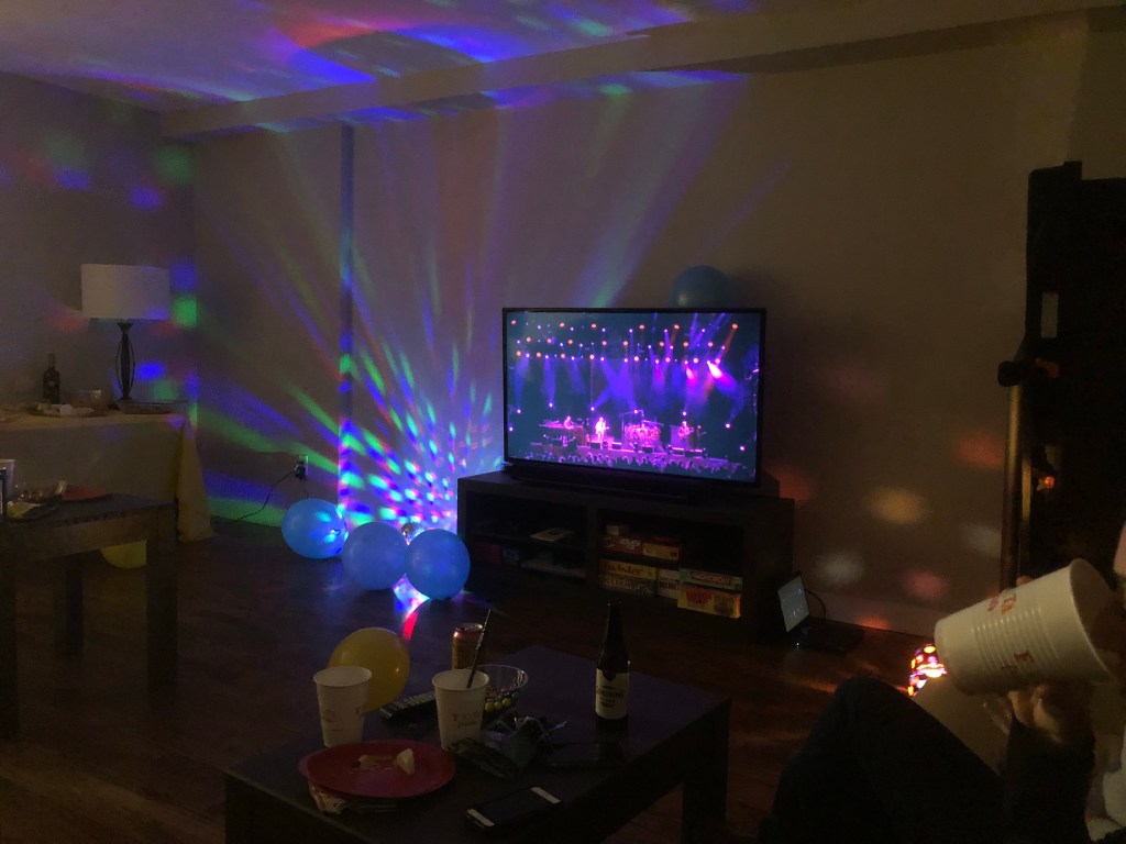
Live music being streamed before it was the status quo 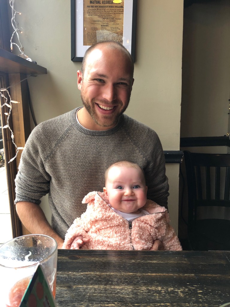
New friends! 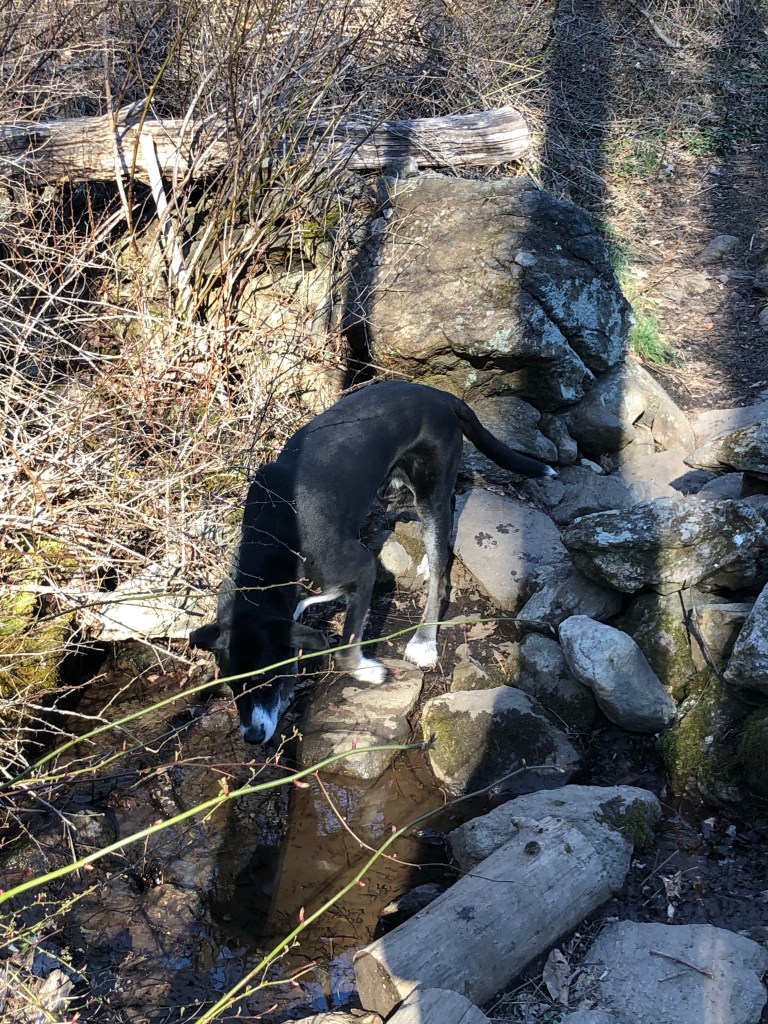
Jax!
Then March came and with it social distancing, isolation, and inactivity. I did a decent bit of cooking and some local hiking. Other hobbies included painting, sewing (my masks weren’t great but the shirts were fun), editing my blog into a yet unfinished book, and of course networking and applying to this and that. The job market was abysmal during this time. I established a few new leads with potential employers, which all failed to materialize at some point in their process. April, May, and June wound up being pretty quiet. A lot of video chatting for socialization and a couple of small outdoor meetings with friends were about the rest of it.
Hiking with Jax! 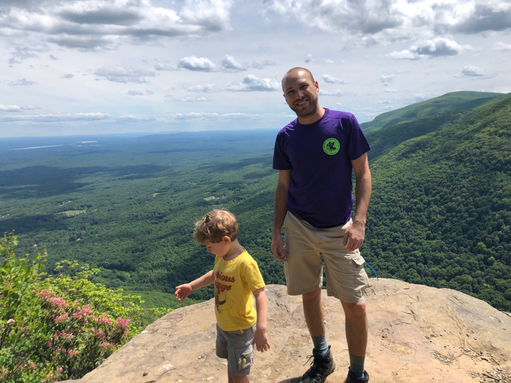
Hiking with Max! 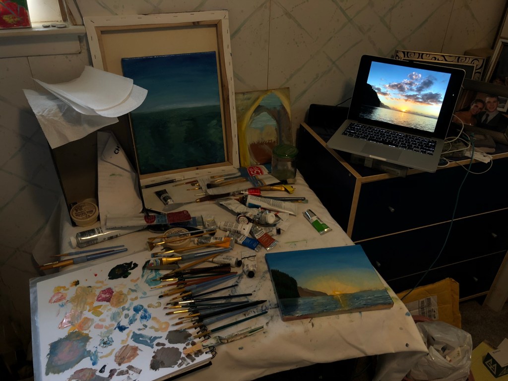
Painting scenes from Widdershinning 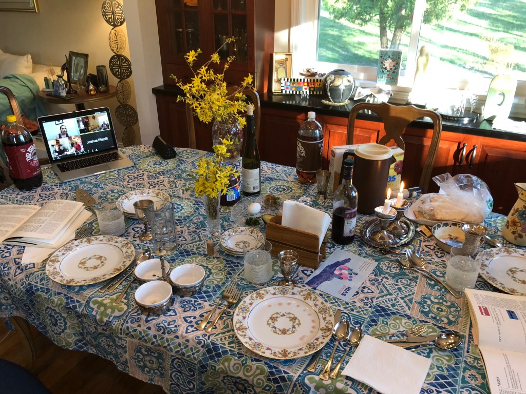
Holidays with no bread 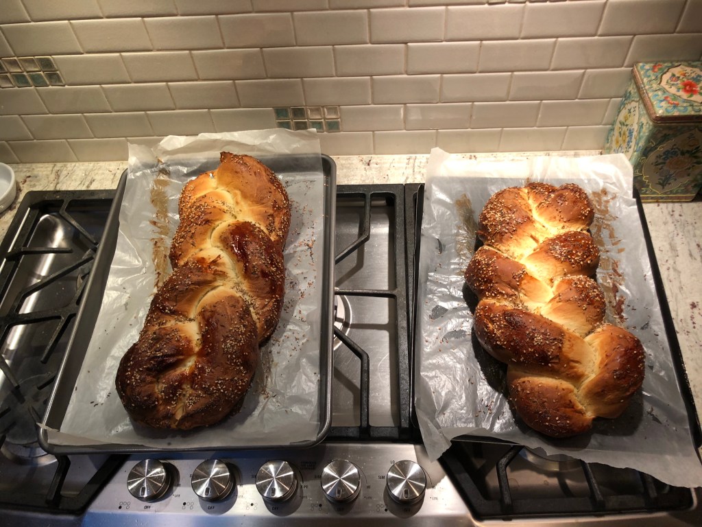
Holidays with bread 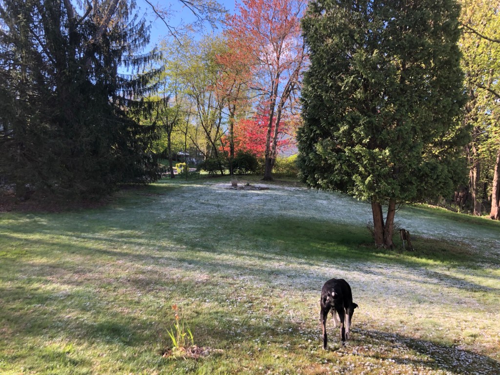
snow in April 
social zooms, featuring my largest beard ever
As the months went on I continued to recount the stories and experiences from my trip. The question I’ve received the most is “what would you have done differently if you knew what 2020 would look like?” and the answer is “not much.” With the gift of hindsight, maybe I would’ve travelled for an additional 3 weeks to bring me to the end of February, though likely outside of Asia? If I knew I’d be jobless this long, maybe I would’ve seen if I could be a grape harvester in the farm bubble of Natalie’s father’s vineyard in Melbourne (I met her in Interlaken/Como and she shared that they hire travelers to stay for a month or so during the northern hemisphere’s spring). But truly I have no regrets. I’m grateful for every moment of it all, and the sacrifices I made to do it were well worth it. The adjustment to life back in the US wasn’t difficult, probably because I wasn’t working and thus my responsibilities were quite limited. I’ve enjoyed rereading/remembering what I’ve had to say but don’t have many more opinions or worthwhile insight beyond what I expressed previously in this blog, so I’ll move on.
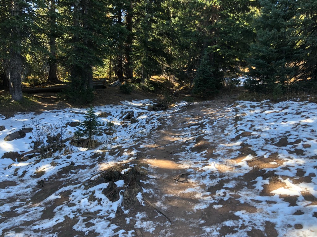
I spent July and August in southern Vermont. Two friends (Gabe and Haleigh) and I stayed in a chalet in the small town of Winhall where we did a great deal of hiking and swimming. Our excursions were fairly southeastern VT centric, though by the time summer was done we covered most of the state geographically. But the majority of our time was spent talking about what we would eat, grocery shopping, and preparing and cooking our food. This was a good 2 hours daily, and then we would sit down and eat for 10 minutes, followed by a typically hefty clean-up. We developed a good pattern of each executive cheffing a night and trying to keep up with eating leftovers. Nights were spent with board games and TV show marathons. Vermont was a great place to spend the summer for it’s unbelievable scenery, weather, and limited cases of covid. We remained cautious of the virus here, but were able to have less anxiety around it than in New York. As we toured around the state the landscape was continuously wonderful to gaze upon. I frequently found myself saying “they don’t call it the Green Mountain State for nothing.” The summer was, in a word, great. Here are a bunch of photos from it:
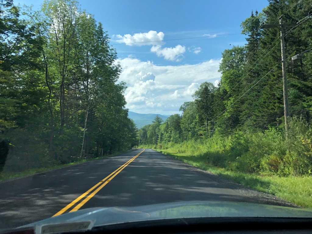
Highway views 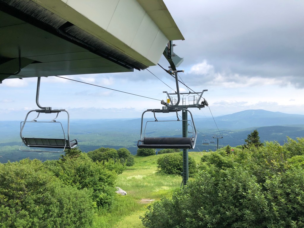
Hiking the slopes 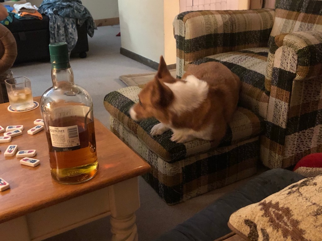
Winston, scotch, and dominoes pretty much sums it up 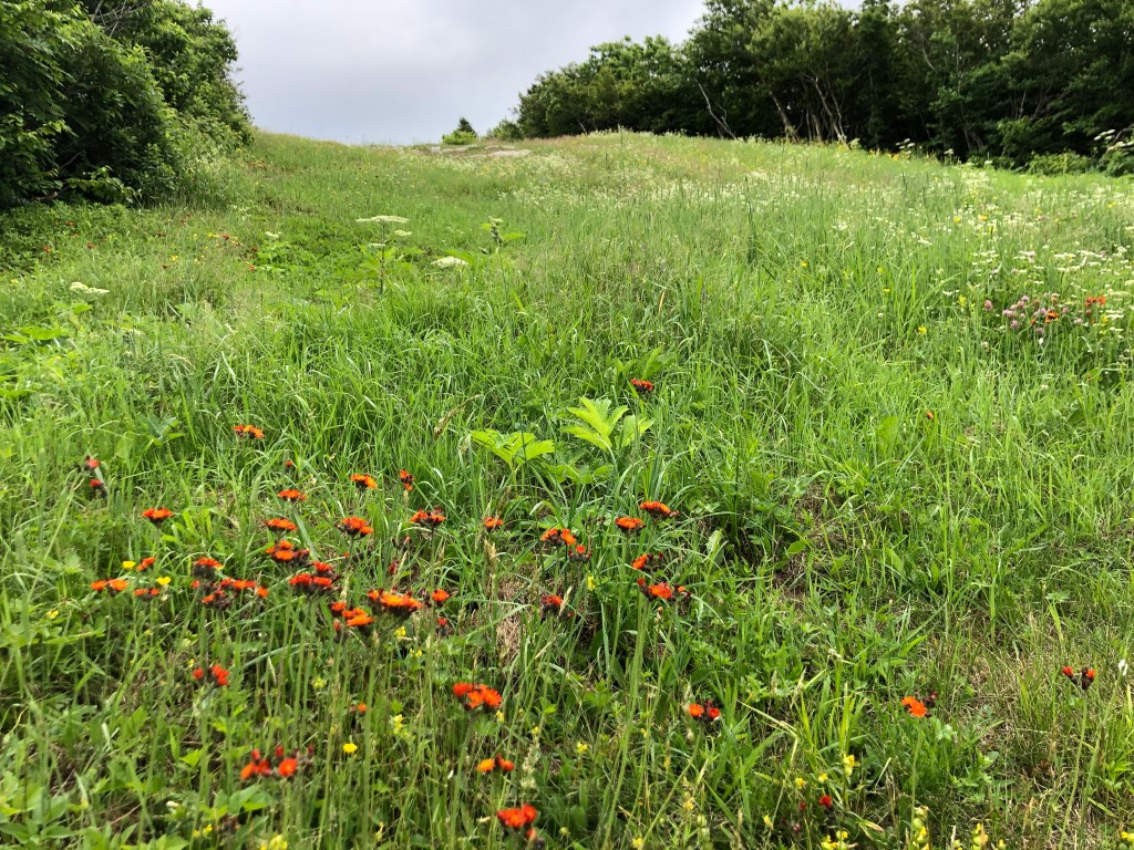
wildflowers 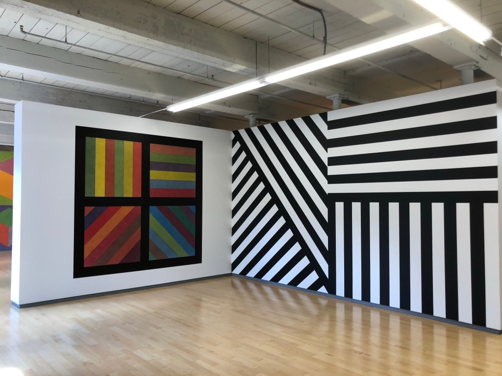
Sol Lewitt at Mass Moca 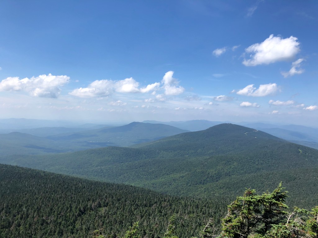
Green Mountain views for days 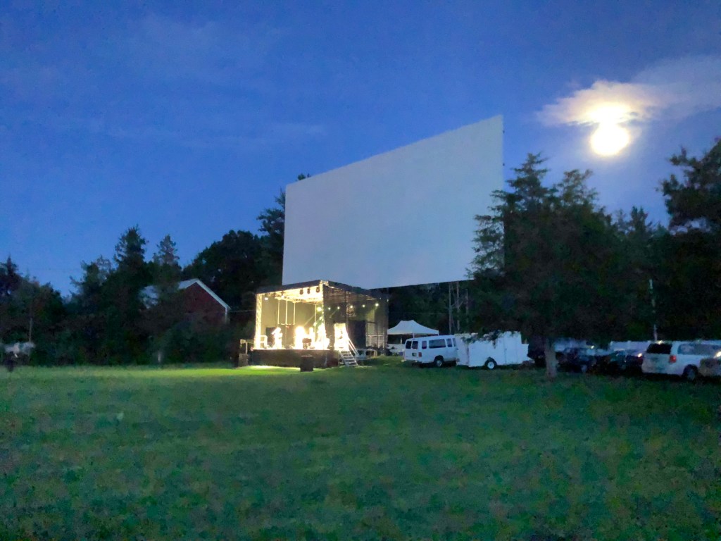
Socially distant live music 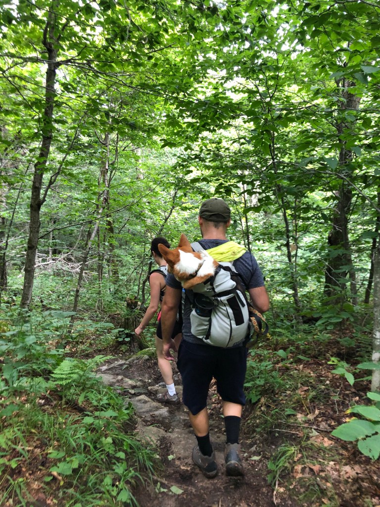
Walkin thru the woods 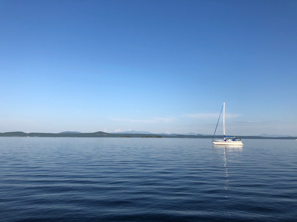
Camping on Lake Champlain 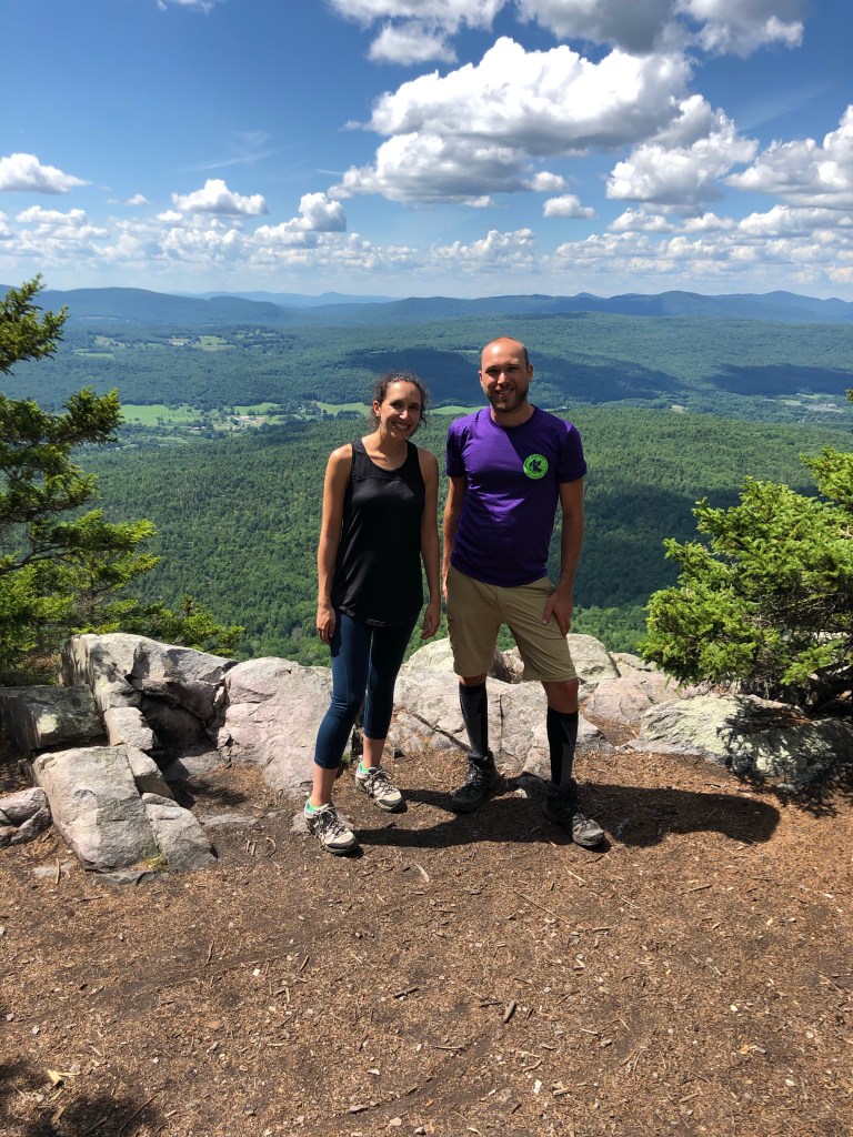
Special guests! 
Winston at Equinox Pond 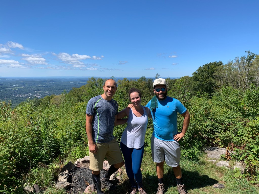
The summer crew 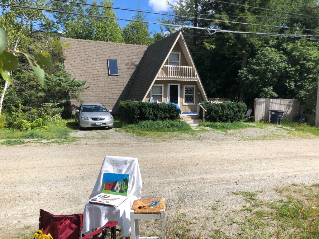
The chalet
While up in Vermont I continued to look for work and even had a couple of zoom interviews. After Labor Day I returned to my childhood home as a candidate in one search process and was determined to go into application hyperdrive. September soon became very busy in the job market front. On a Thursday I applied to a job at UC Berkeley. They contacted me the following day, and I had three interviews with them the following week. I’ve since received and accepted an offer, so off to Northern California I go! Wowee that happened fast. And all almost exactly a year after leaving my previous post. What a year it’s been. Before we get to all the California stuff, my month+ back in NY, in a few photos:
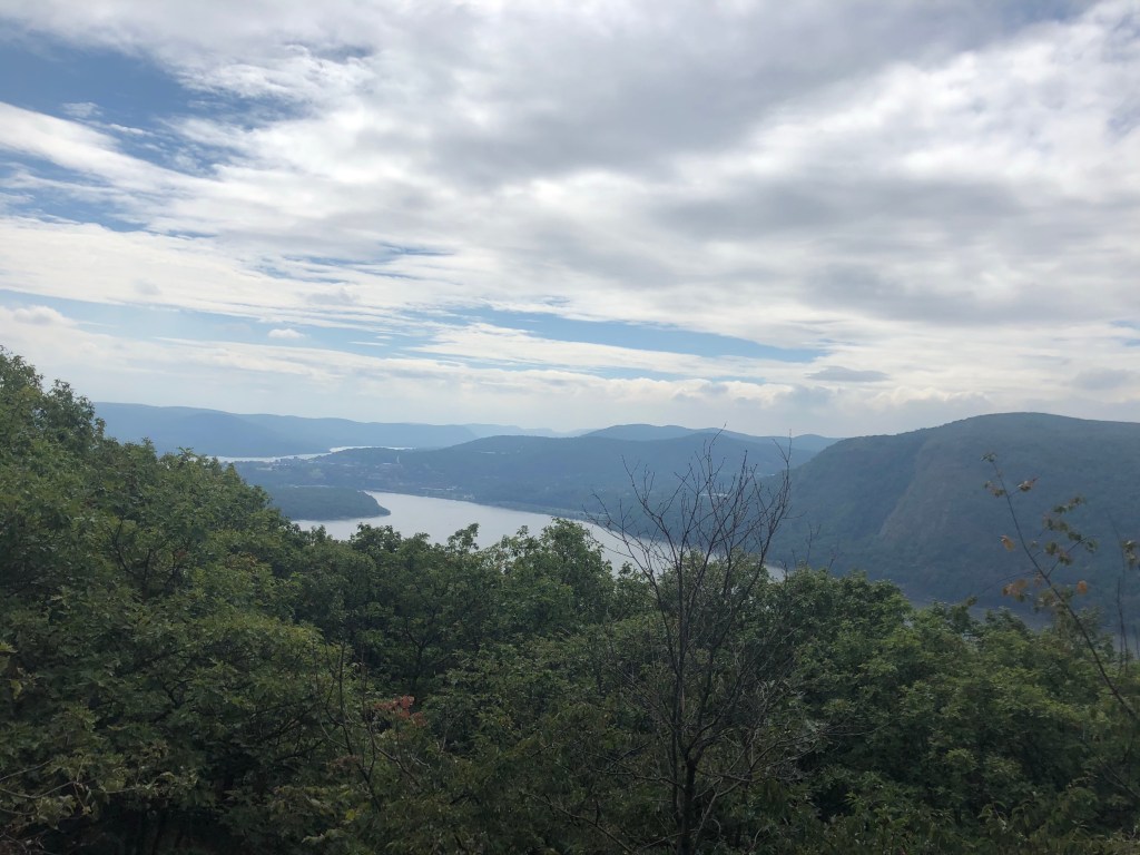
Hudson Valley hiking 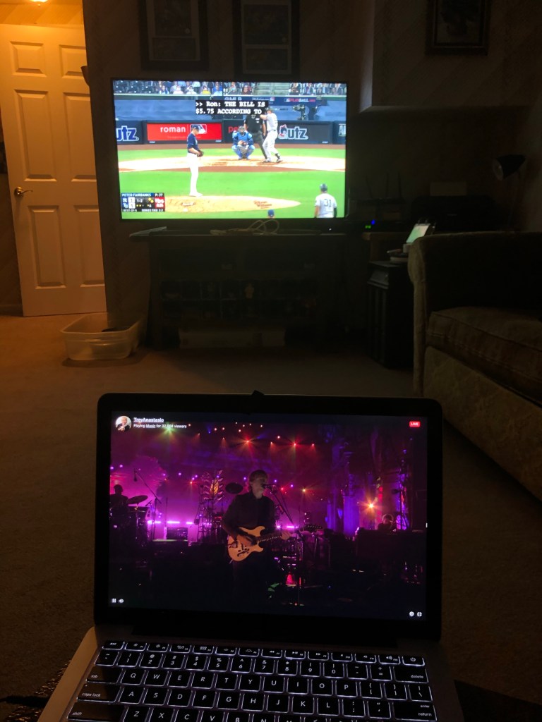
streaming music and watching the Yankees lose 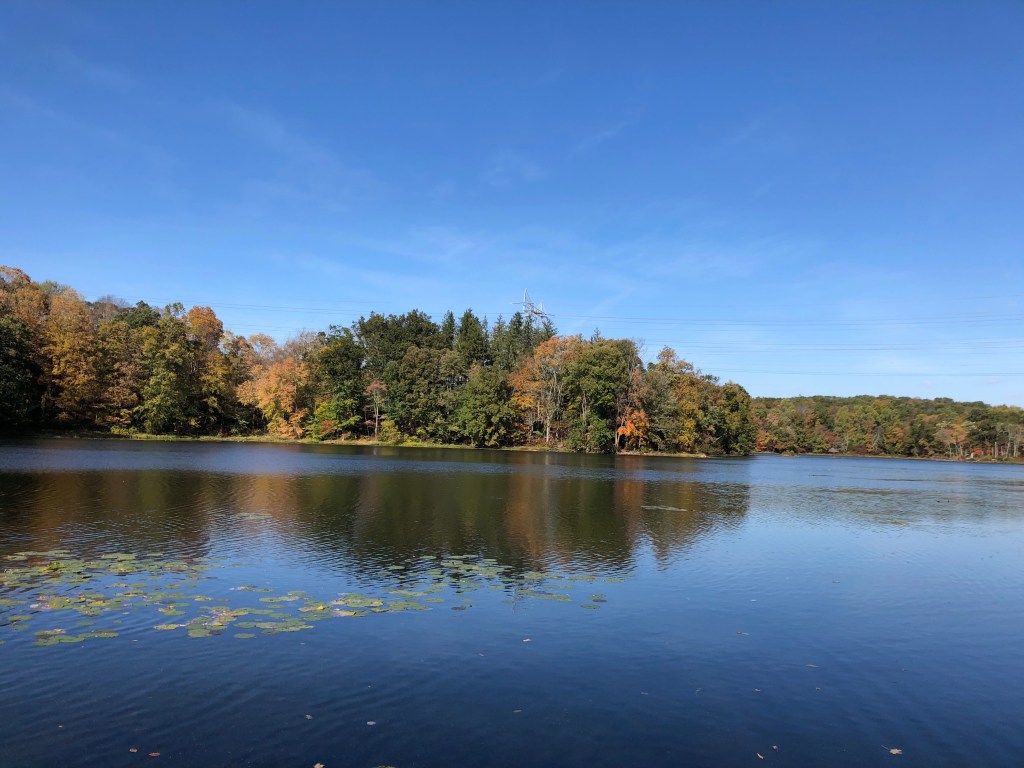
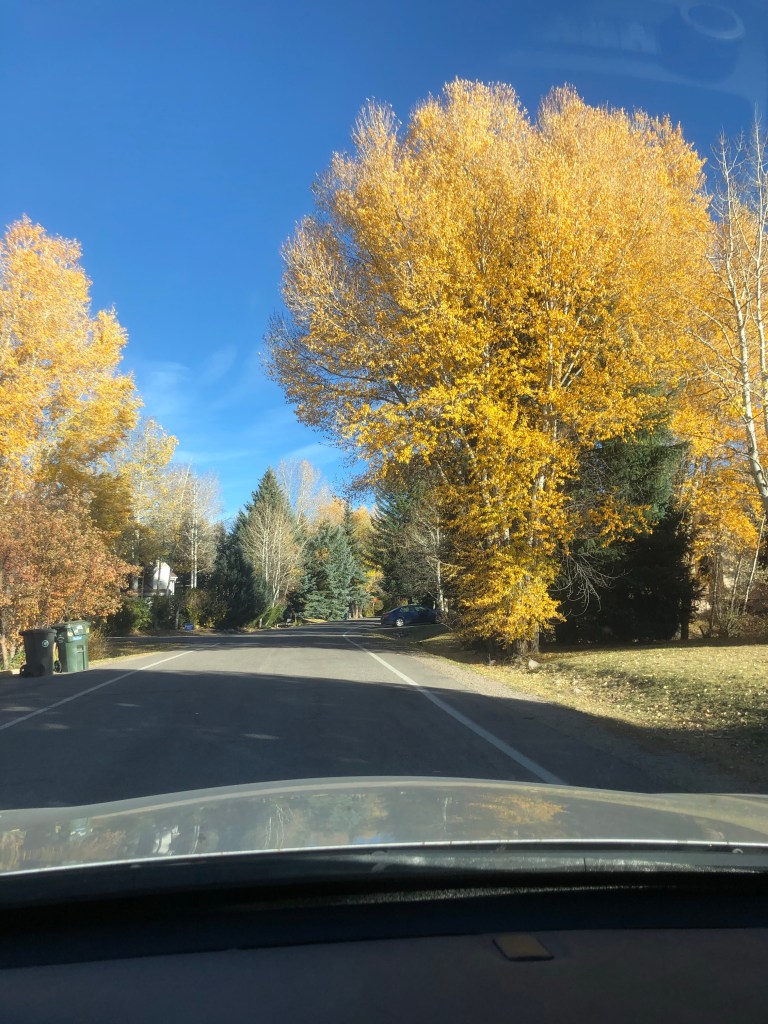
Fall foliage 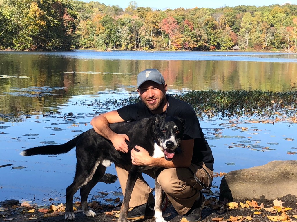
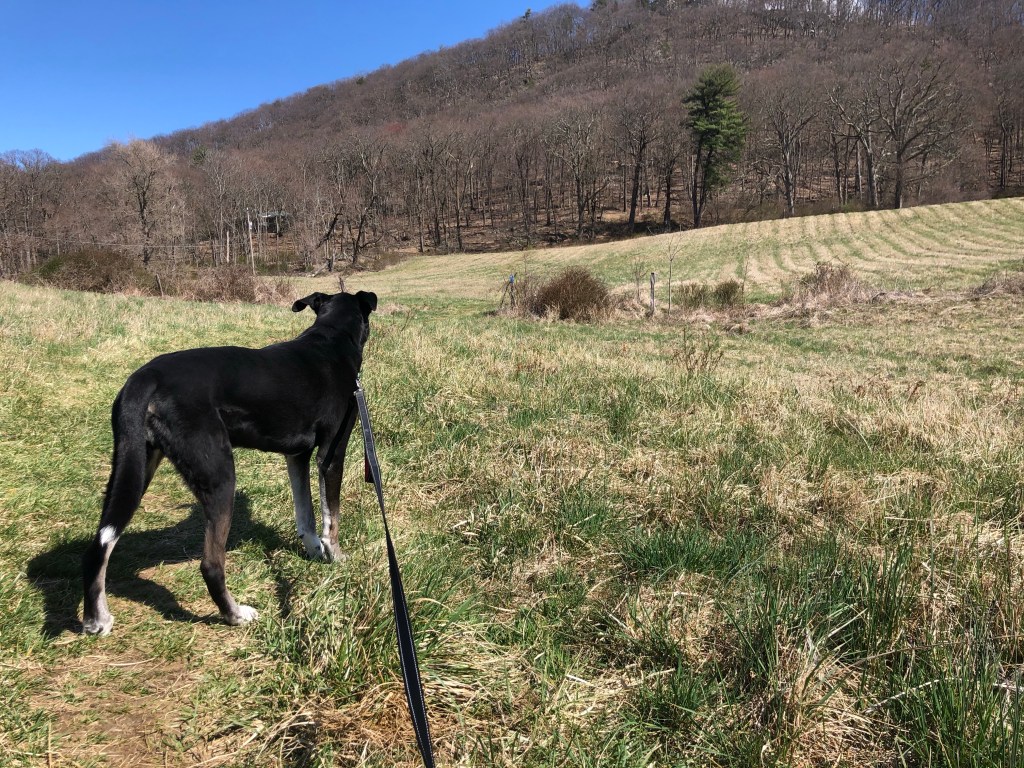
Last hikes with Jax for who knows how long
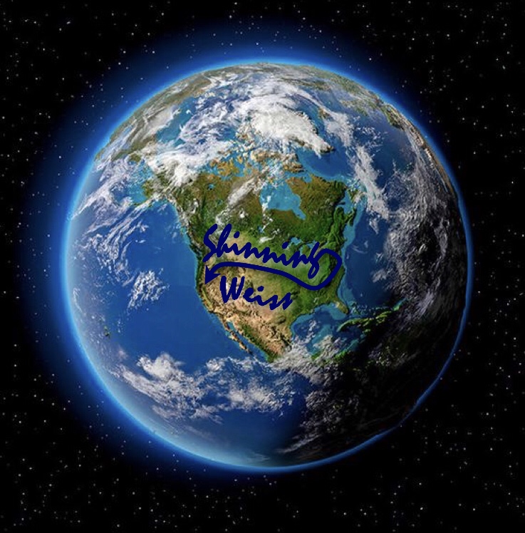
In a previous post I mentioned the cross country road trip I had hoped to drive as a conclusion to the widdershinning. I’ve now been given the opportunity to redraw it, this time in the opposite direction and in an expedited fashion to enable my move across country. And lucky you, I’ve included my final saga in this very post! Because I’ve now reversed direction, allow me to formally introduce you to Shinning Weiss, the Epiblog.
Below is a narrative of my experience driving cross country during a pandemic and politically divisive and inflammatory time. Quite an interesting moment in American history if you ask me, though my interaction with everything outside of my car was intentionally limited. But if you’re only interested in photos (the short version) of my cross country trip, you can skim as you scroll down, or click to jump to Shinning Weiss Places, Shinning Weiss Food, The Best Of Shinning Weiss, and Shinning Weiss by the Numbers. I’ll note that just as widdershinning is not a real verb, cutting off the “widder” (originally from German for against/opposite) makes my use of “shinning” even more nonsensical (shin meaning direction generally associated with the sun). Whilst shinning the country I more or less drove this route:
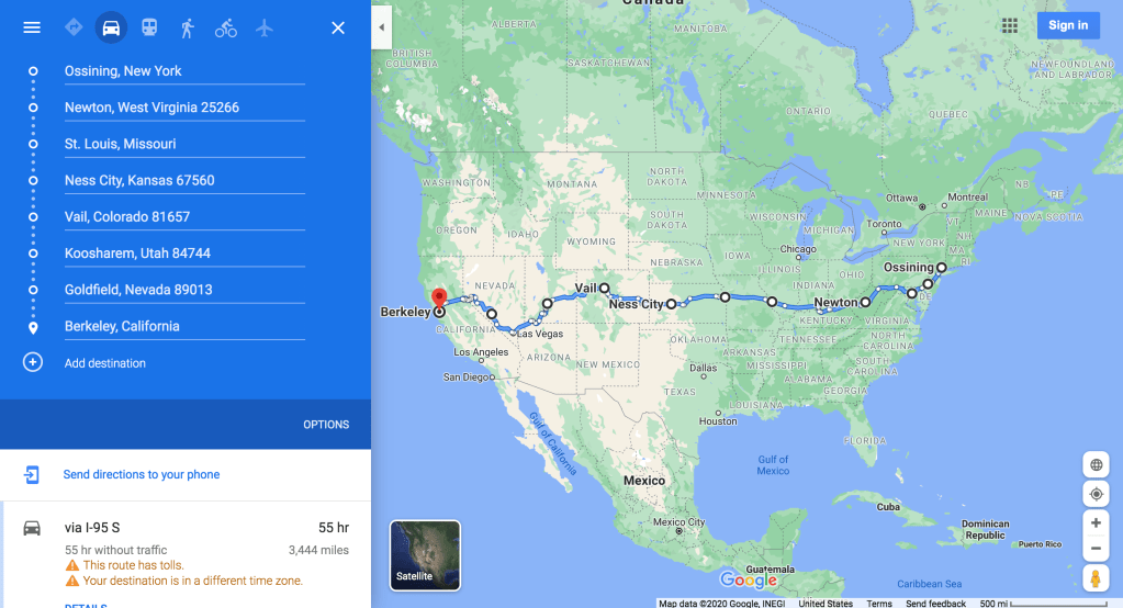
This course I charted was based upon a few things: the first goal was to see friends in Colorado. Once that was a fixed point, I wanted to see new places in the form of both cities and states (Hawaii had put me up to 36, this route got me to 40). I also wanted to eat good American cuisine, which mostly wound up being barbecue. Getting to see the varied landscapes of the country was assured, but I also sought to use this to spend some time on foot in and around the natural beauty our nation has to offer. My overnights were selected based on keeping each day’s drive under 10 hours (my longest day’s drive as mapped by Google was 8:52), along with finding a good AirBnB near the highway. I decided this was the ideal type of lodging because I could avoid people and had access to good and thorough reviews of cleaning protocols. I toyed with camping but setting up a tent daily and dealing with weather made that undesirable. So off I went, westbound!
I began my trip on Sunday October 18th at 8 AM. My 2009 Accord was loaded up and I hit the highway excited about my next adventure and chapter of this thing called life. I was certainly sad to say goodbye to the northeast, with it being home to most of the people I know and care about and all. Through my last year of living on the road abroad I had developed good habits in being present and enjoying the journey while also planning and remaining excited for what lies ahead. All of this was rekindled as I prepared for my new life as a Californian. I pored over my route options and settled on the one which allowed me to see new states, old friends, and interesting sites.
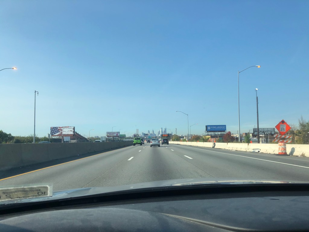
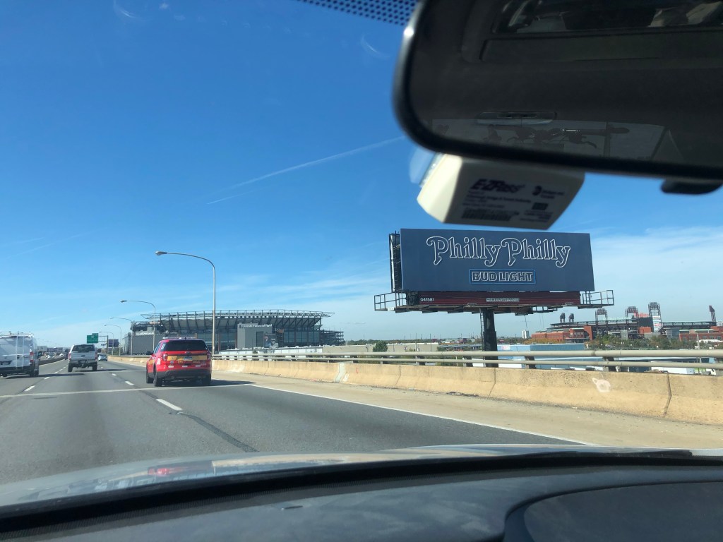
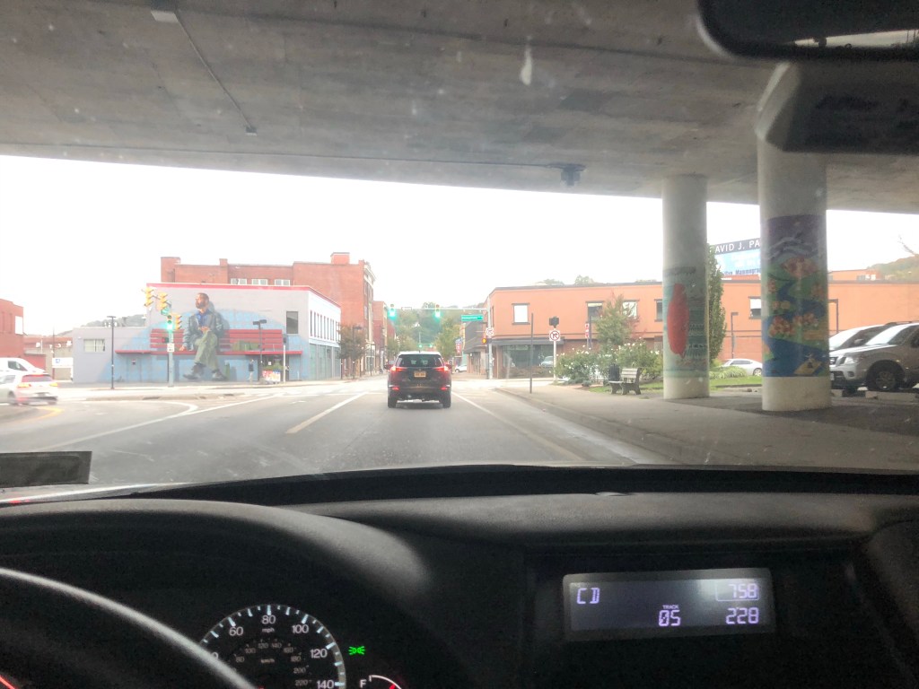
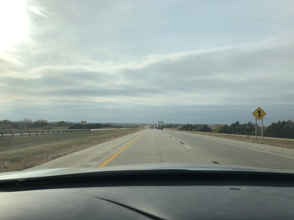
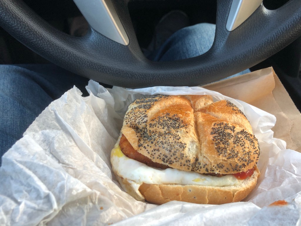
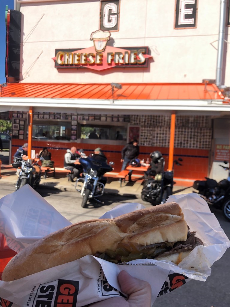
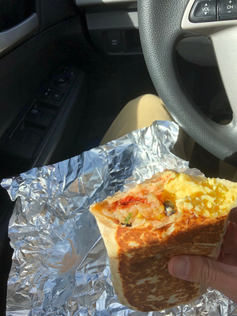
First stop, Philadelphia (not counting my brief detour for a breakfast sandwich from Rocky’s Deli in Millwood NY). A somewhat familiar destination, this stop took me slightly off course to meet Ethan, Lindsey, and Micah for coffee. A nice way to break up my first leg of driving, chatting with old friends. After coffee, cheesesteak in hand, I got back on the highway. The sign for the express lane of I-95 indicated I would have access to 695, which I needed to head west, but this was misleading as it got me to a later exit than I wanted, so I wouldn’t up going west just south of Baltimore. Hooray, I got to see Baltimore’s skyline today. I think this added about 20 minutes to my mapped 8:52 drive.
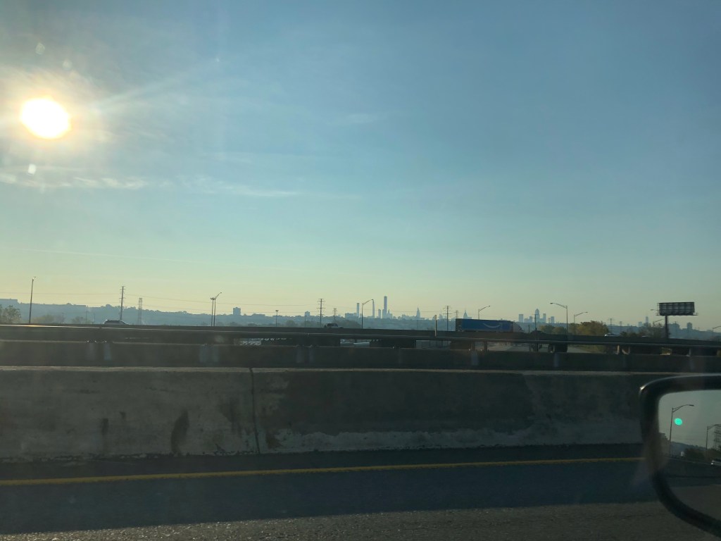
Bye NYC! 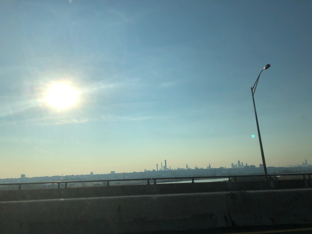
Approaching PHI 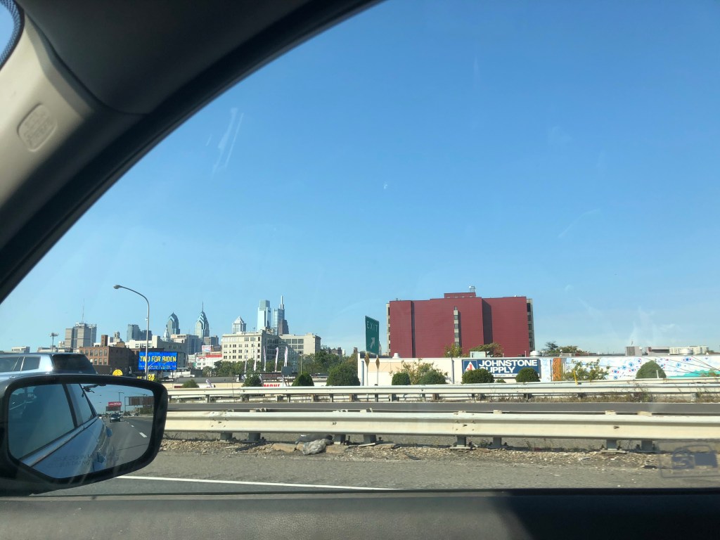
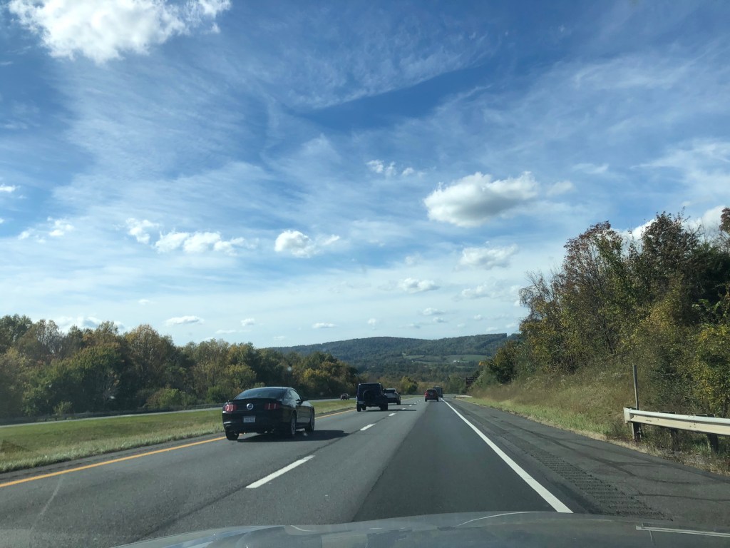
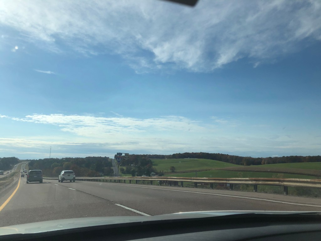
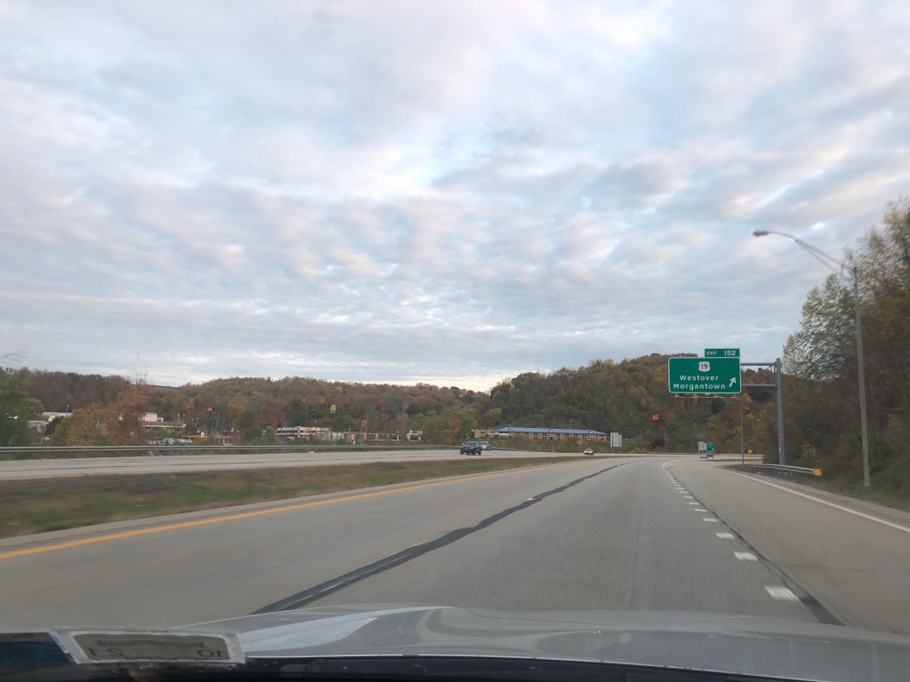
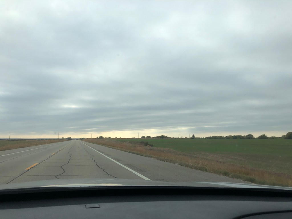
I wound up driving the entire width of Maryland heading west. Nobody credits Maryland for its size, but it covers some decent ground latitudinally, and wasn’t half bad to look at. Many leaves’ colors were past their prime but it was a pretty drive nonetheless. My last stop of the day was Morgantown, the home of WVU. I wasn’t impressed, New construction condos and modern shopping plaza sprawled out over the otherwise picturesque rolling wooded hills. I didn’t see too much of the campus and didn’t care for what I manage to glimpse driving around town. Onto Newton WV, where I spent the night in the sticks.
Maryland countryside 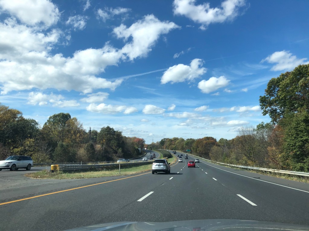
Morgantown traffic 
WVU 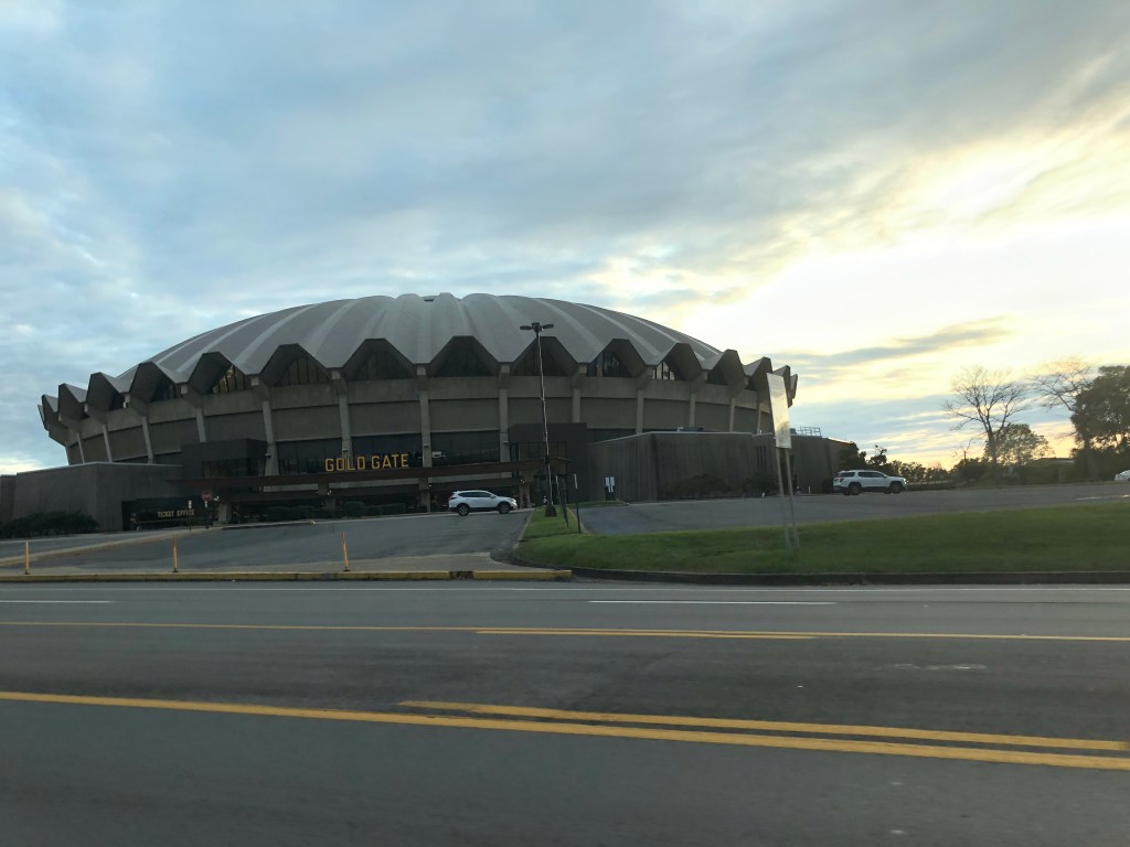
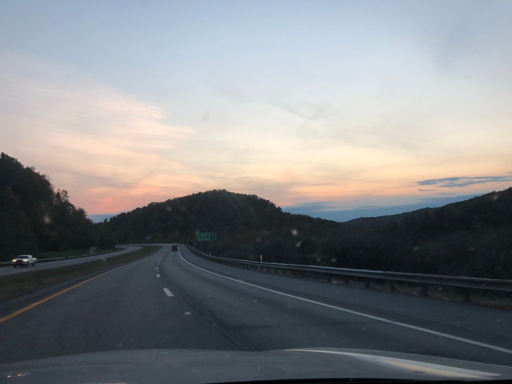
West Virginian sunset 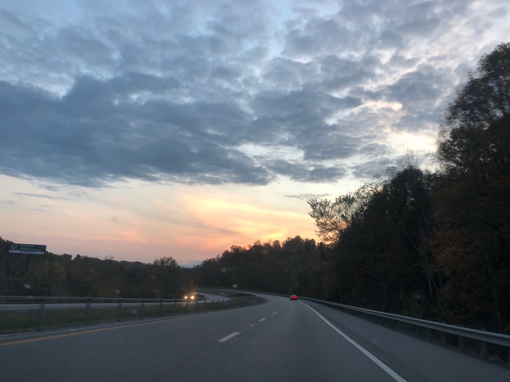
In the AM I got an early start and headed to the capitol city of Charleston. I wasn’t blown away. The capitol building was undergoing a major exterior renovation on the dome, so it’s beauty was masked (much like the rest of us). What struck me the most was the number of stop-sign intersections throughout the city. Exluding a couple of lights that relegated traffic on and off the highways, it seemed like every intersection was a 4-way stop. Oh the things you can get away with in a small city. I grabbed a coffee and donut and got on my merry way.
Didn’t take many Charleston photos 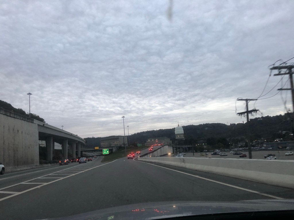
Capitol in the distance
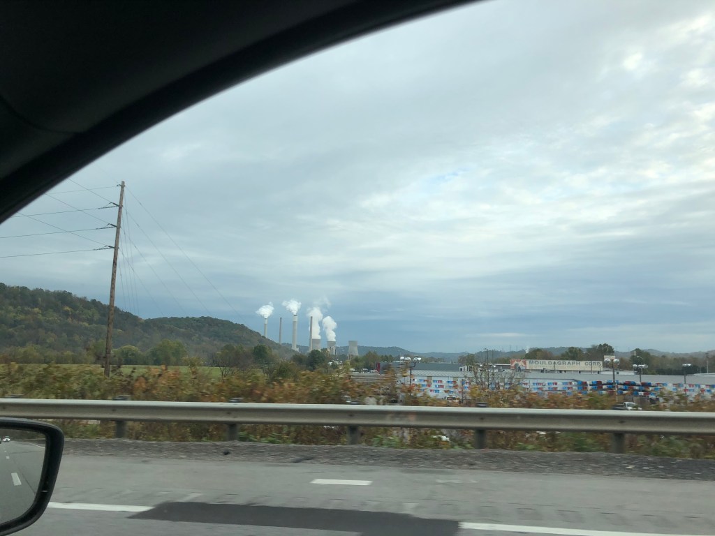
I was welcomed to Kentucky in true coal country fashion (although this is an oil refinery, not coal plant).
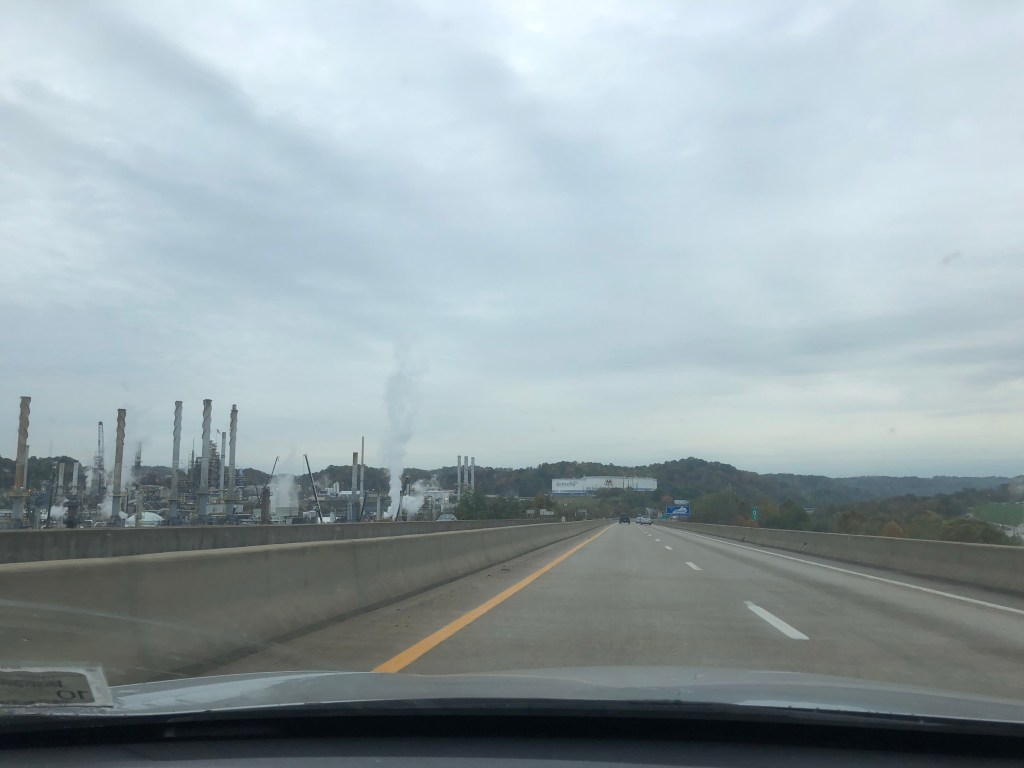
Eastern Kentucky 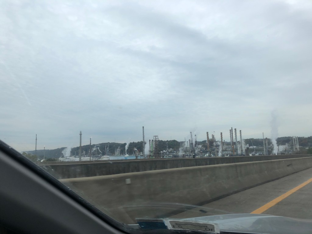
The countryside here looked like that of West Virginia and western Maryland. I arrived in a rainy Lexington and got some authentic Kentucky fried chicken. If the weather was nice I might’ve wanted to check out the campus or more of downtown, but instead I just drove a route through the center of the city to get to the highway. That morning I had decided to start counting political signs. Trump had an early lead over Biden, but what struck me in Lexington was the number of McGrath signs (Biden too). Hopefully the voters can pull through next week.
My fried chicken joint 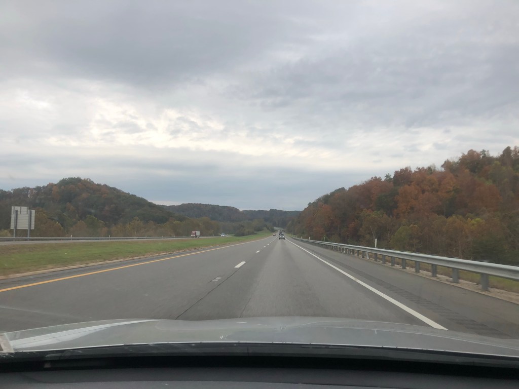
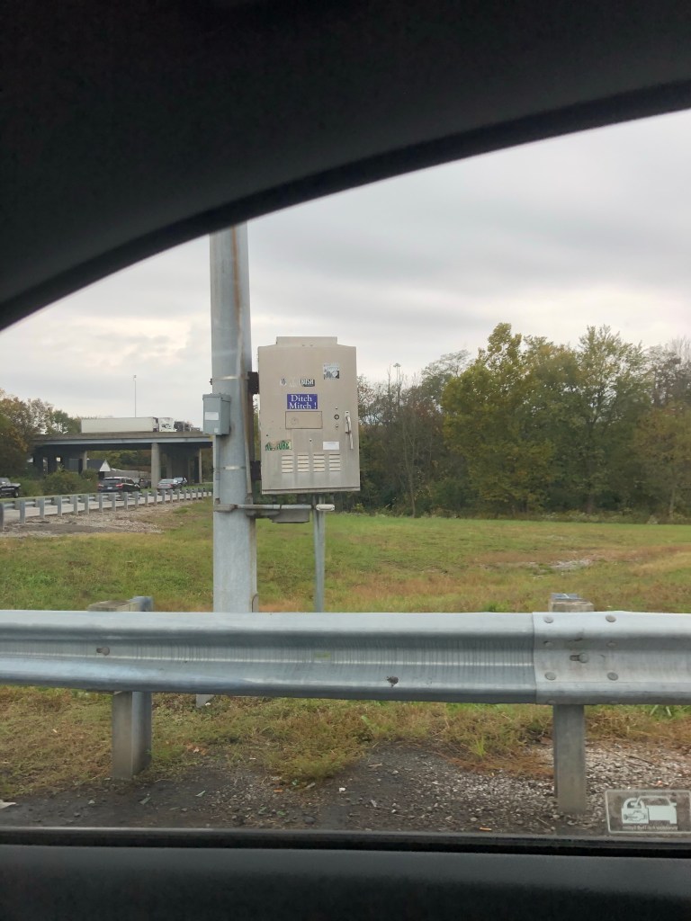
Ditch Mitch 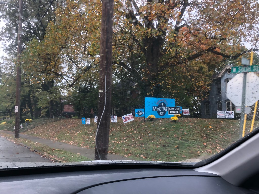
I wonder who they’re voting for
I continued out the western side of Lexington to keep moving, now along the Bourbon trail. With my goal of not dawdling, and not getting covid, I didn’t pull off the highway at any of the big name distilleries I passed, though I often wanted to. Instead I went to Toddy’s Liquors in Bardstown, which in 2019 was hailed as the best bourbon liquor store in the world. My first impressions were how small it was and the smell of cigarettes. The woman working was smoking – that explains it. She quickly put out her cig, put her mask on, and helped me pick out one or three bottles. As our interaction ended she asked where I’m from, and I explained New York, but moving to California, specifically Berkeley upon her next inquiry. She had a hyperbolic response to all of it and warned me not to get “all California” if I stay out there too long. I fear it’s too late in the ways she was referring.
Rainy bourbon trail 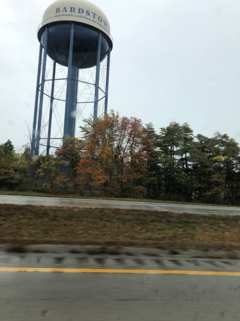
Bourbon capitol of the world 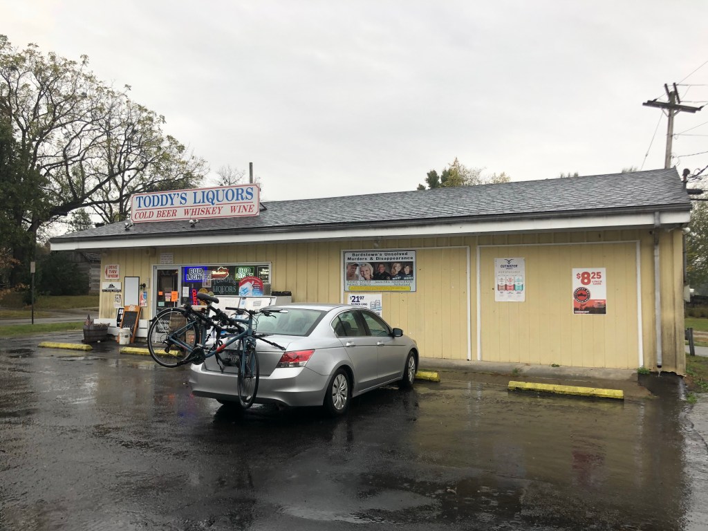
Car outside Toddy’s 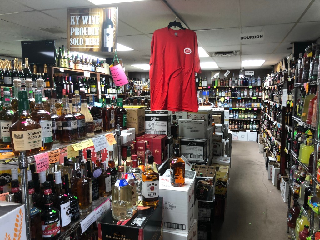
Smaller than I imagined 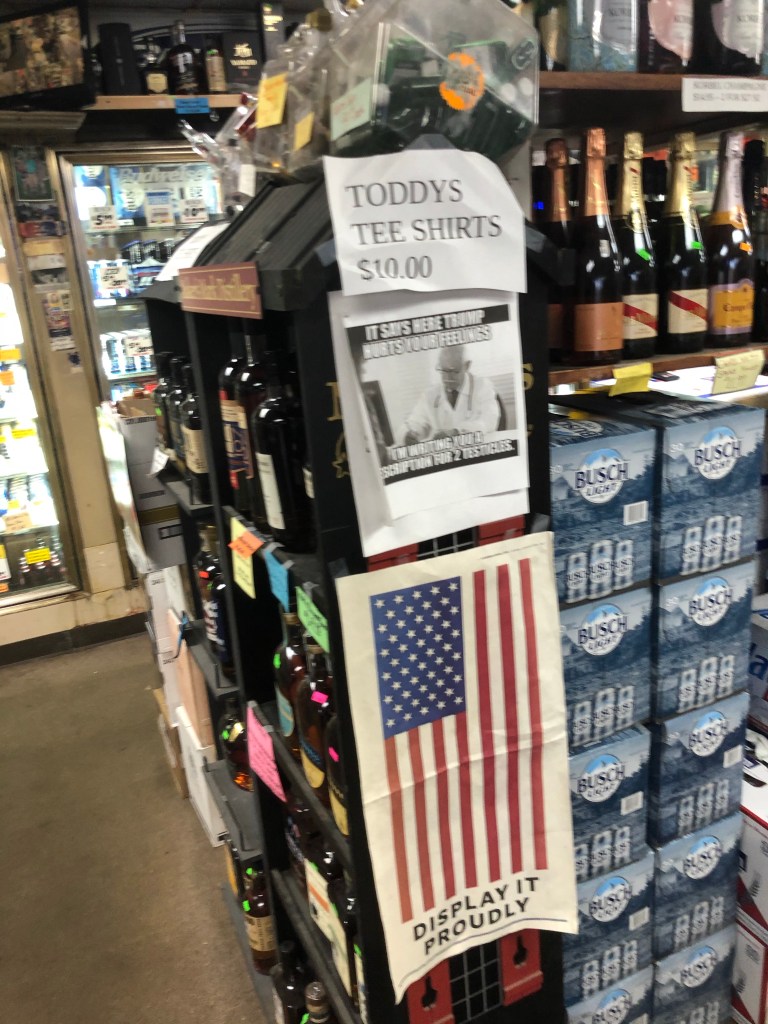
Lovely 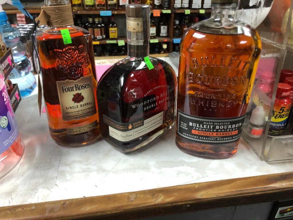
Did I say one? Better make it 3.
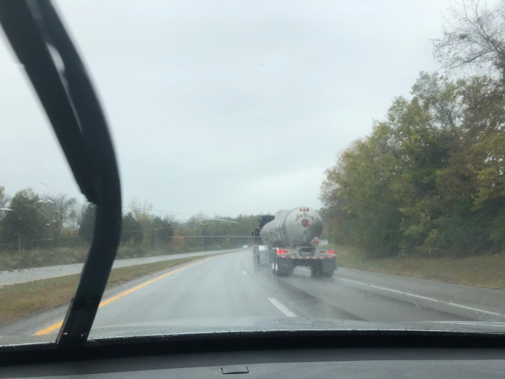
After Bardstown I drove through Louisville while continuing onto St. Louis. I didn’t see much of Louisville and the rest of the day’s drive was uninteresting. It rained a lot and there were a couple of spots of flooding. Kentucky soon became Indiana which became Illinois. Lots of farms. Biden had taken an early lead that day on sign representation but Trump/Pence retook it with bumper stickers and highway-facing farm signs. Just outside East St. Louis IL I headed to the mounds of Cahokia, a preColumbian historic site. If I knew more of the history it may have been more interesting. And if it wasn’t cool and misty it might’ve been nice to stay a few minutes longer. Instead it was a big mound and some small mounds and a good view. A good way to stretch my legs just before arriving but not something I’d suggest you travel to see.
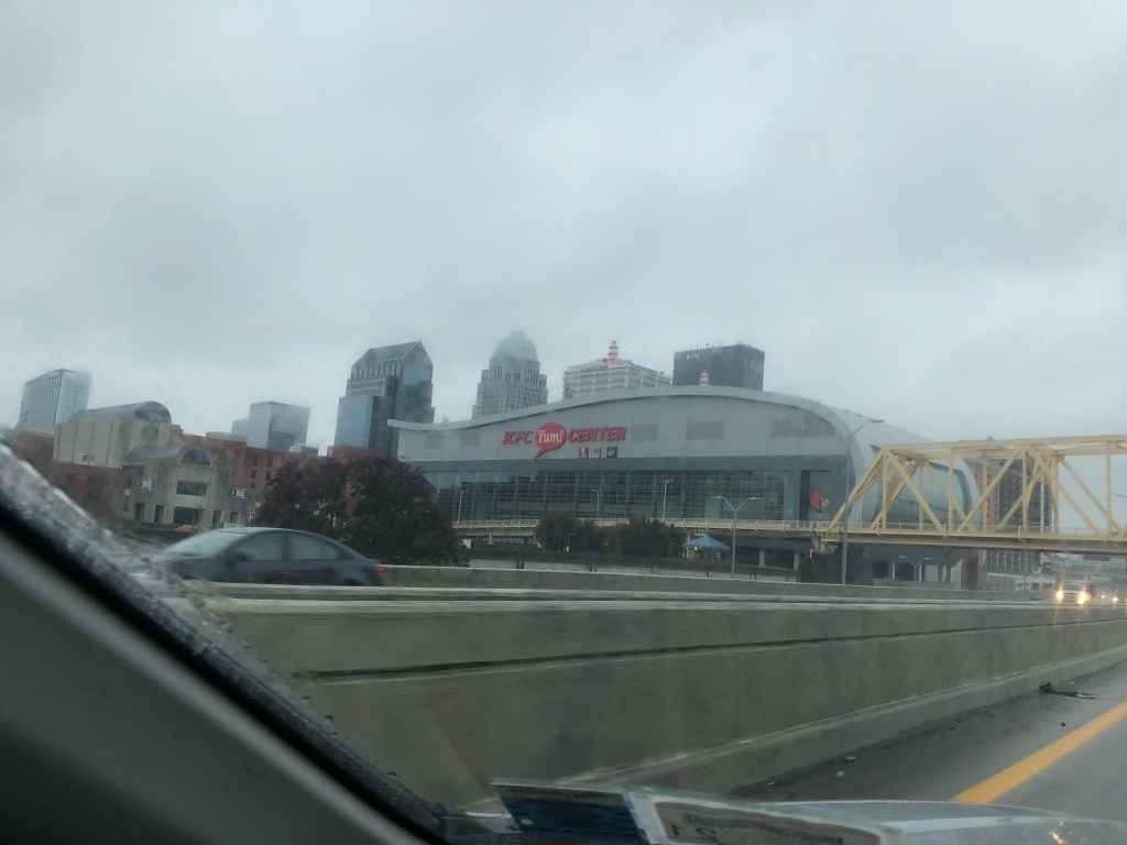
Louisville 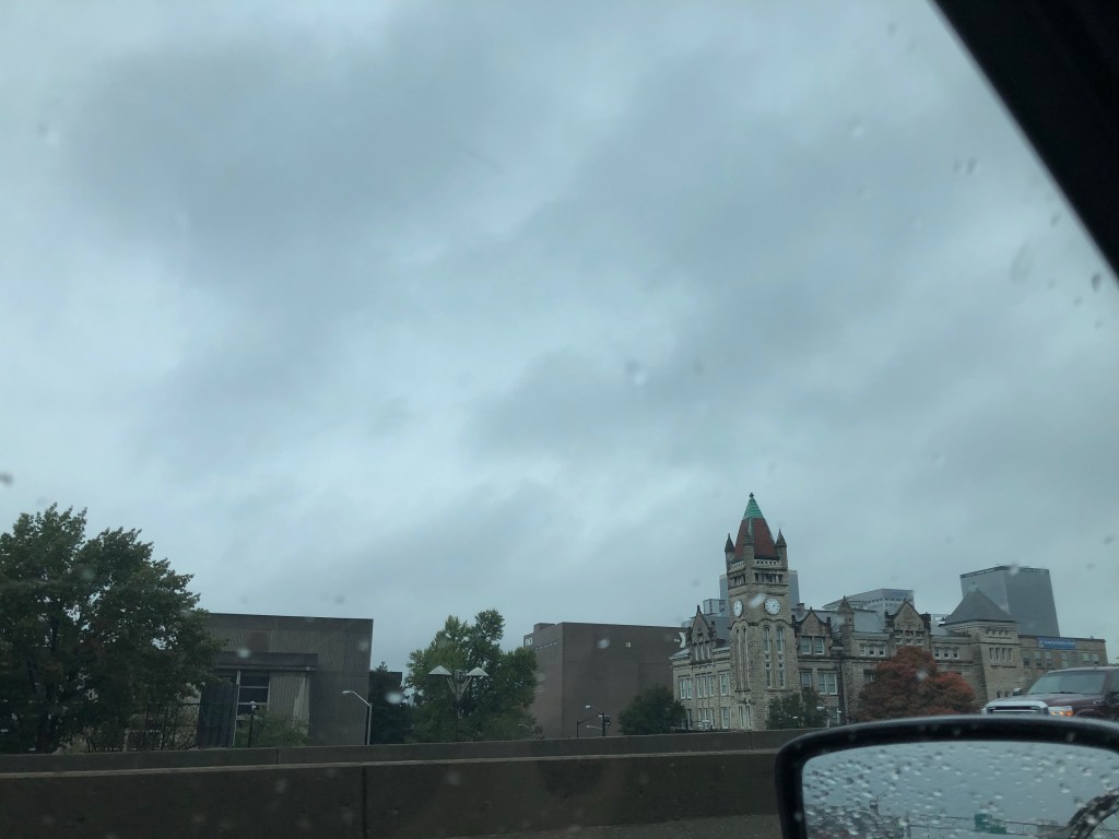
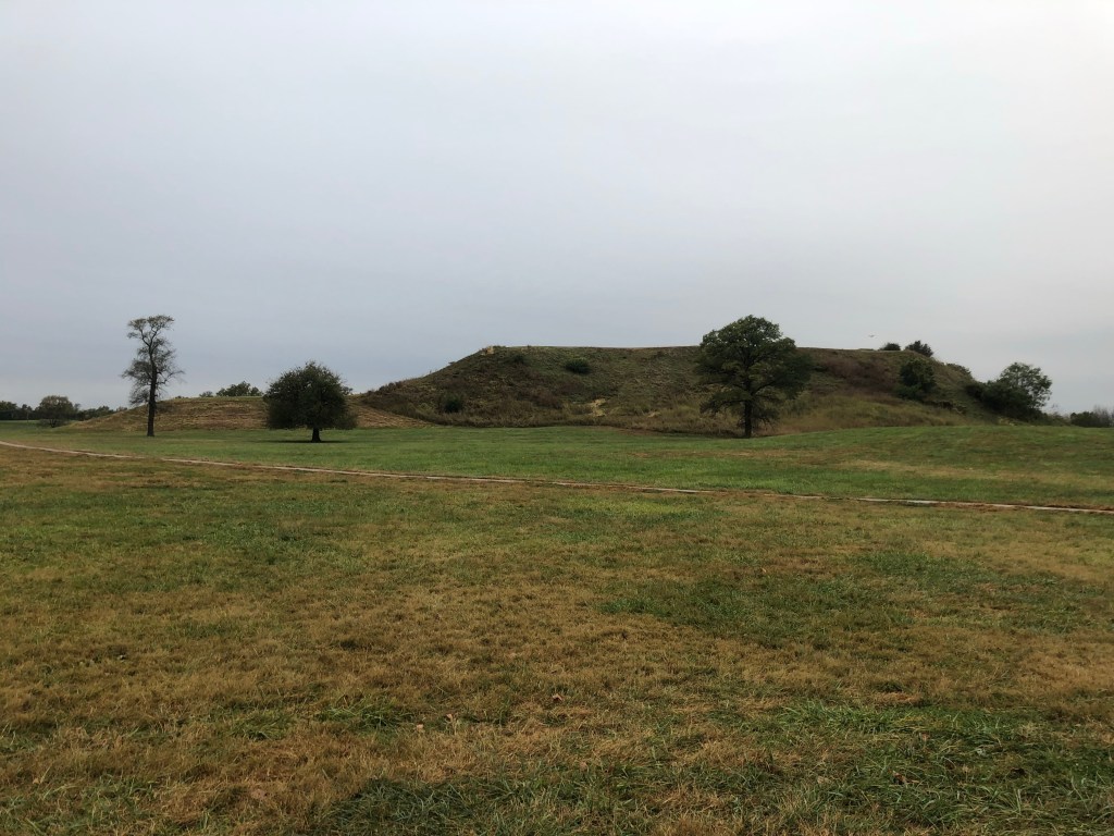
Cahokia 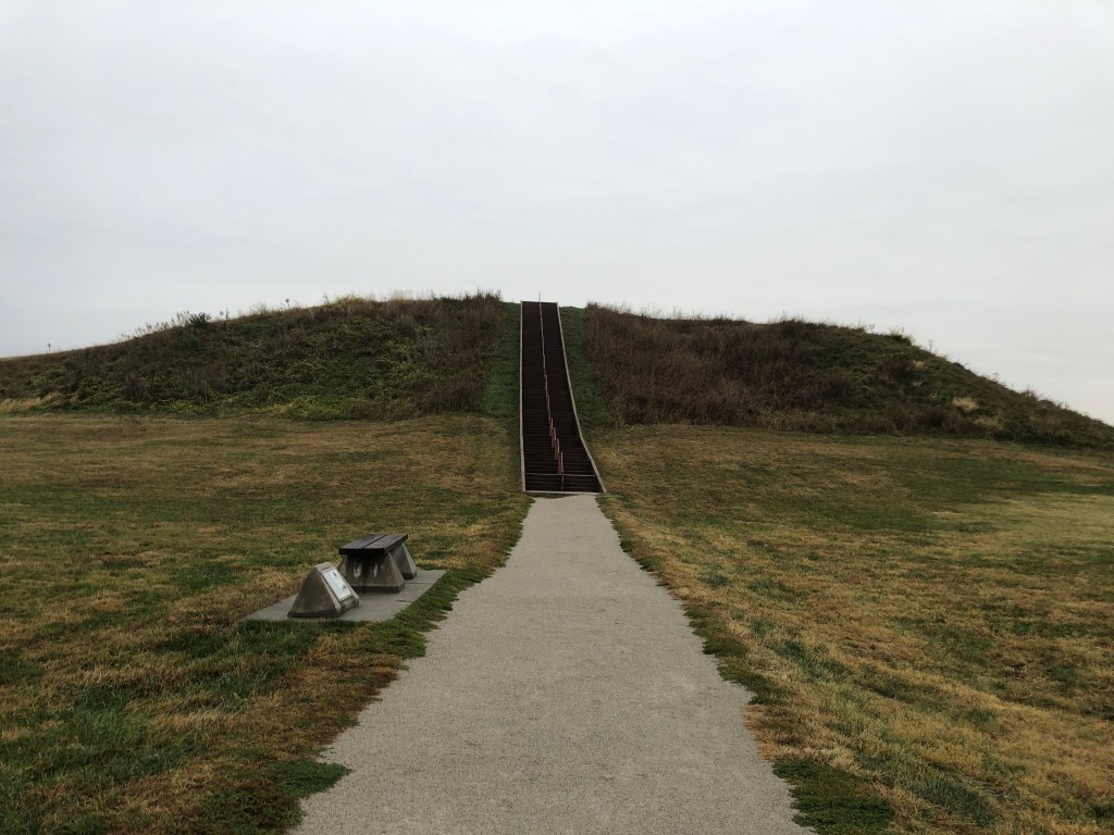
The first half of the mound 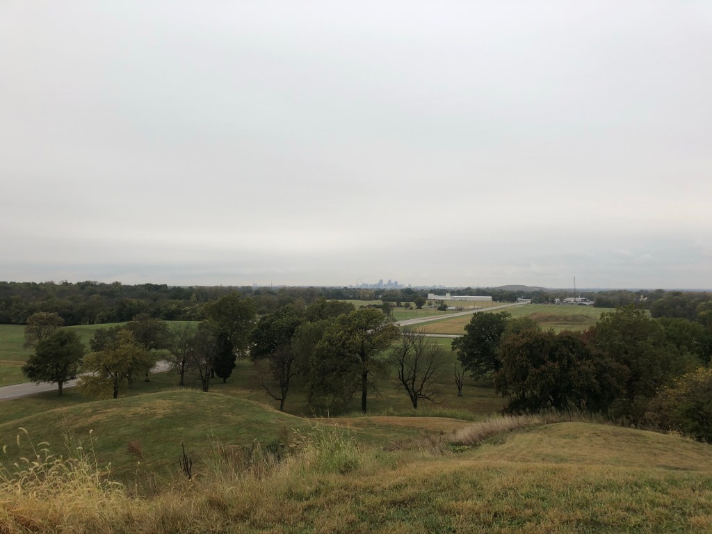
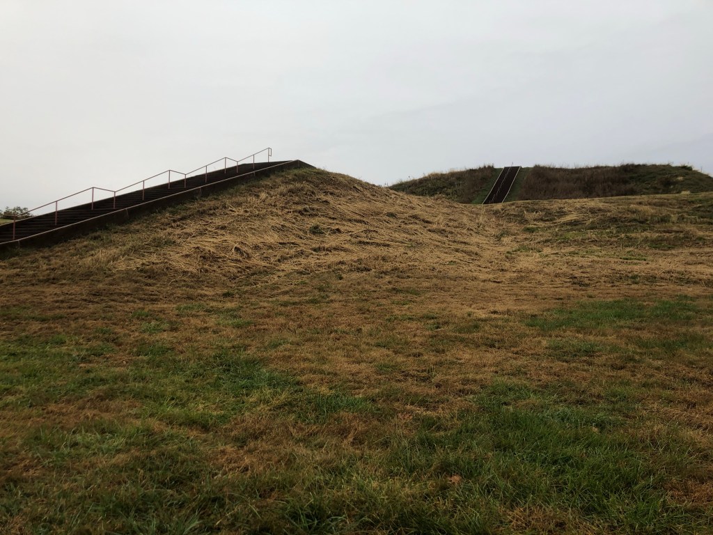
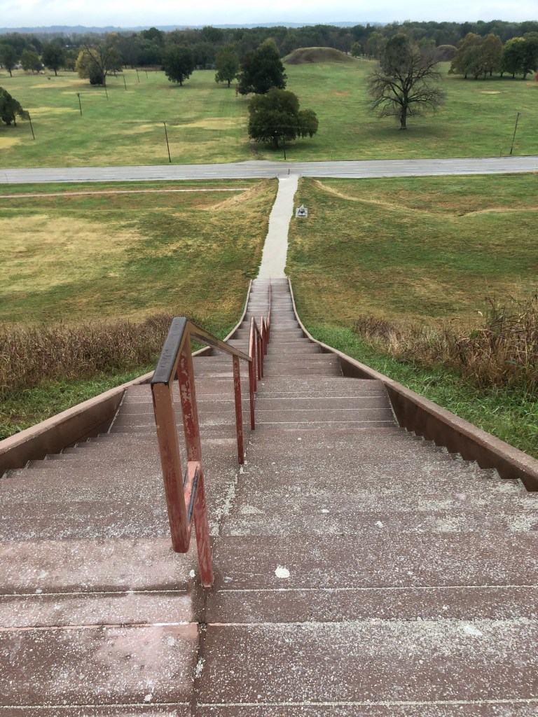
Top half of the mound 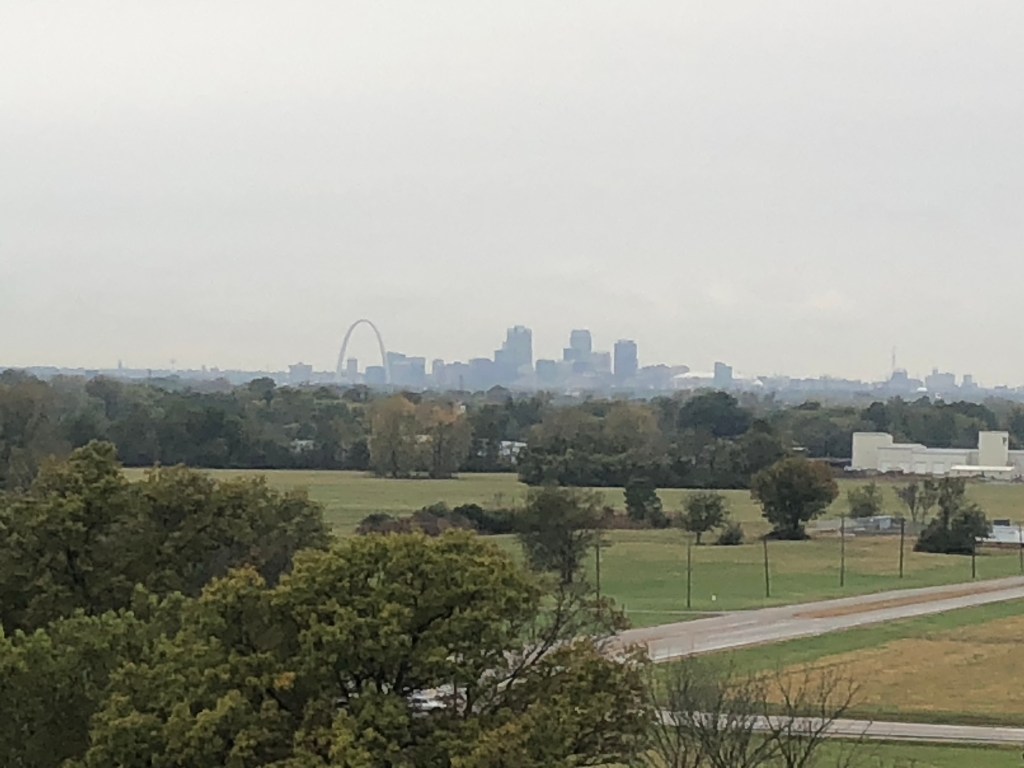
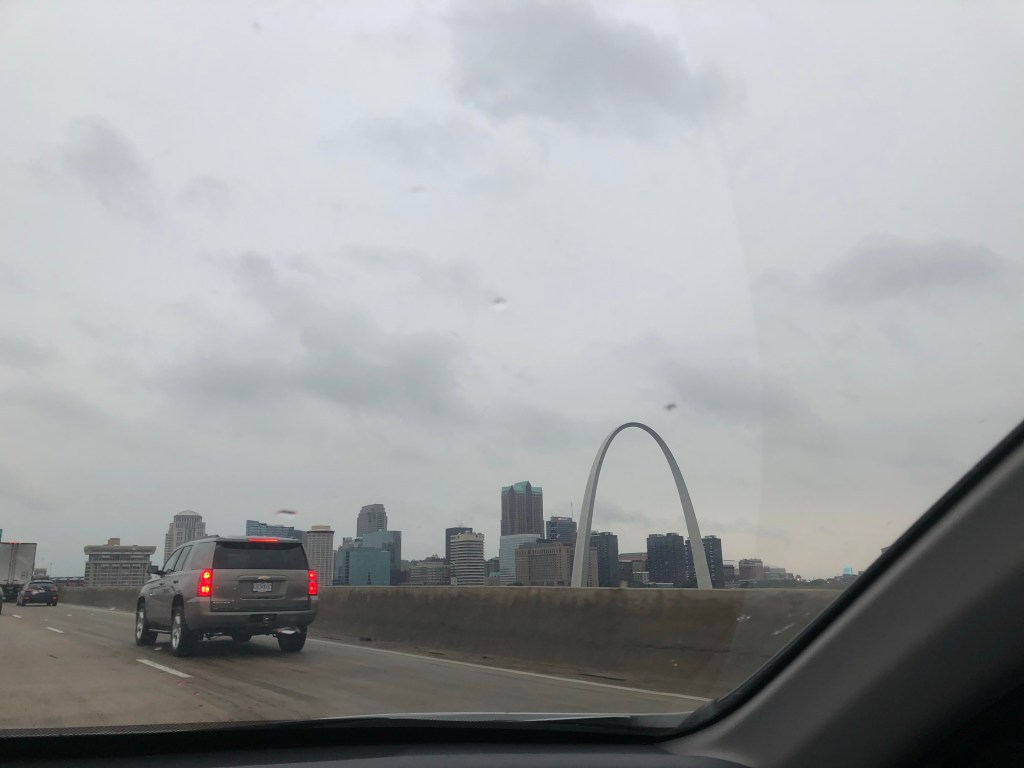
STL Skyline view
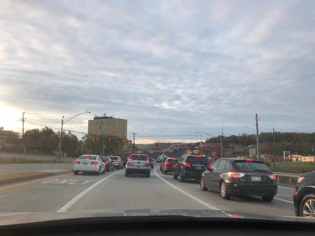
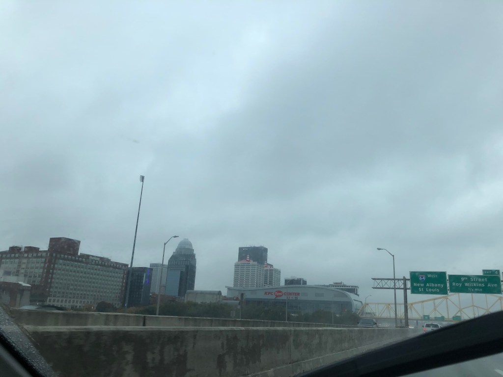
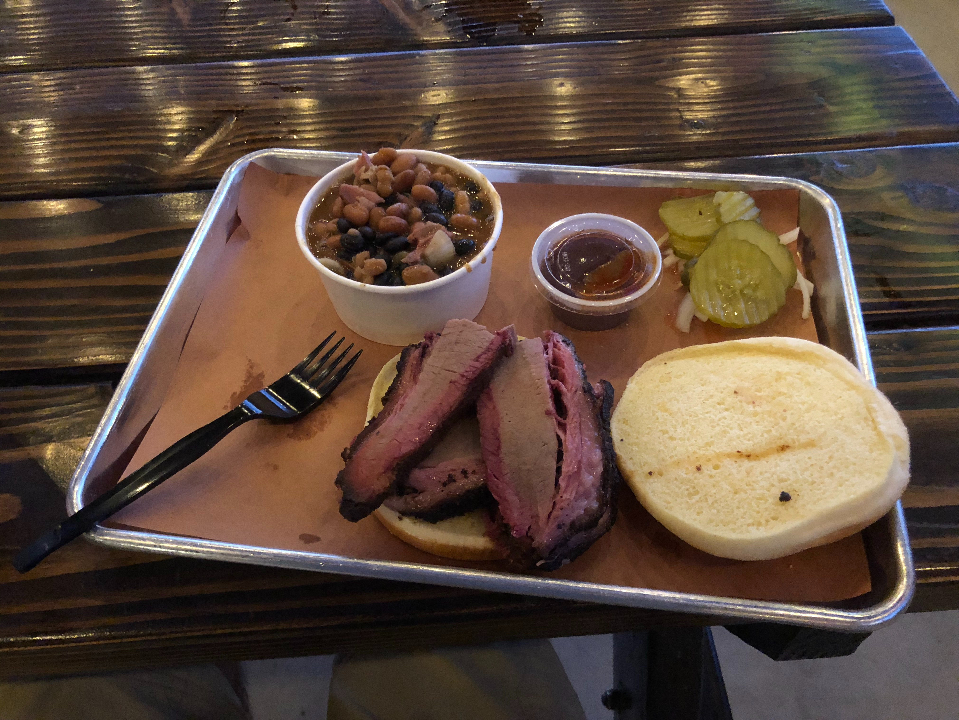
Driving into St. Louis was annoying because of all the spaghetti (a.k.a. criss-crossing highways). Most of these highways were in Illinois’ East St. Louis but the haphazardly placed elevated tarmacs spanned both sides of the Mississippi. A shame of urban planning and traffic engineering if you ask me. I got into my St Louis AirBnB, picked up some BBQ, and scoped out my local neighborhood of Soulard. I would’ve liked to head into a few fun-looking bars here but instead I just walked around to the waning ambient light of the overcast sky. I really liked the old housing stock and especially appreciated many of the Halloween decorations. As far as the political persuasion of residents, an unsurprising pattern had emerged of Biden/Harris signs in the windows of city dwellings and Trump/Pence signs on truck bumpers and rural yards. After some time in Soulard I’d had enough and called it a night.
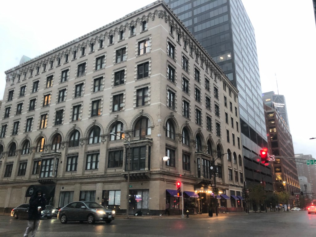
Downtown STL 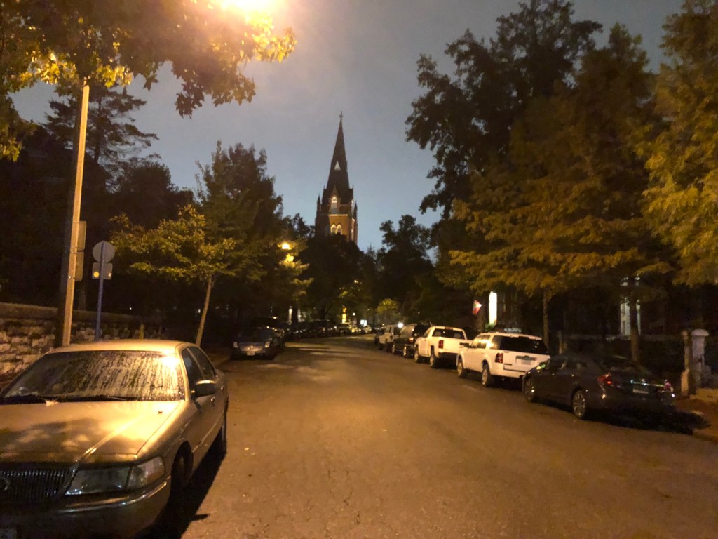
Walking around Soulard 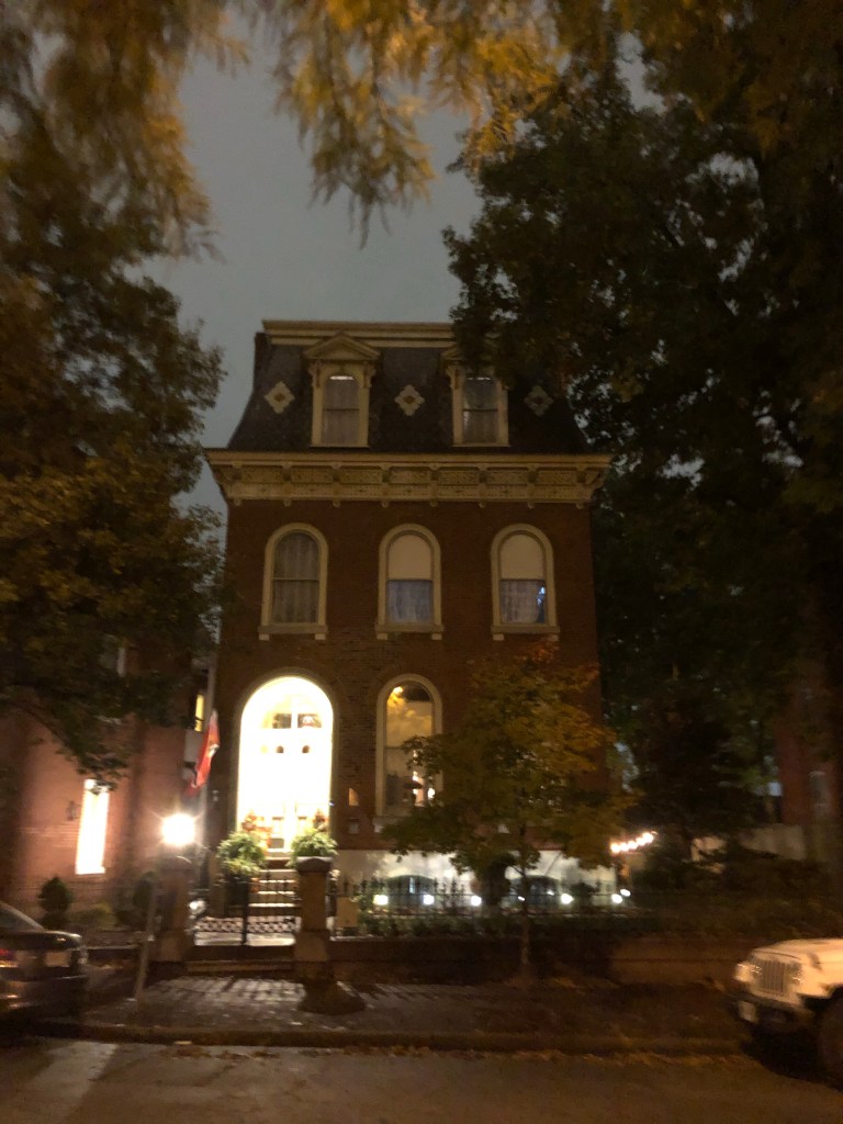
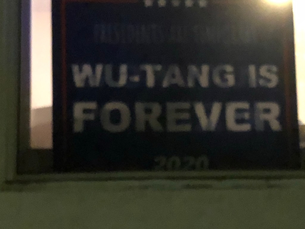
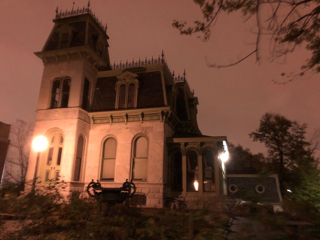
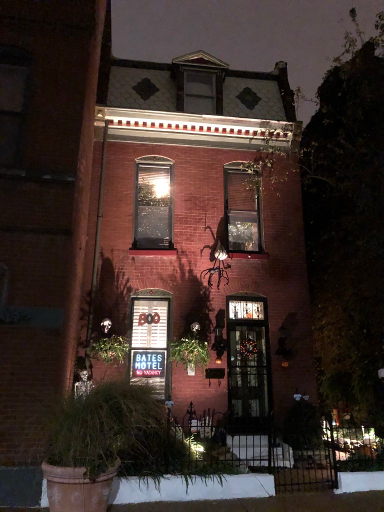
Ready for Halloween 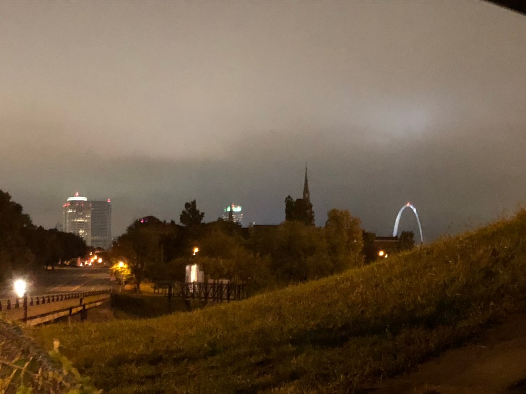
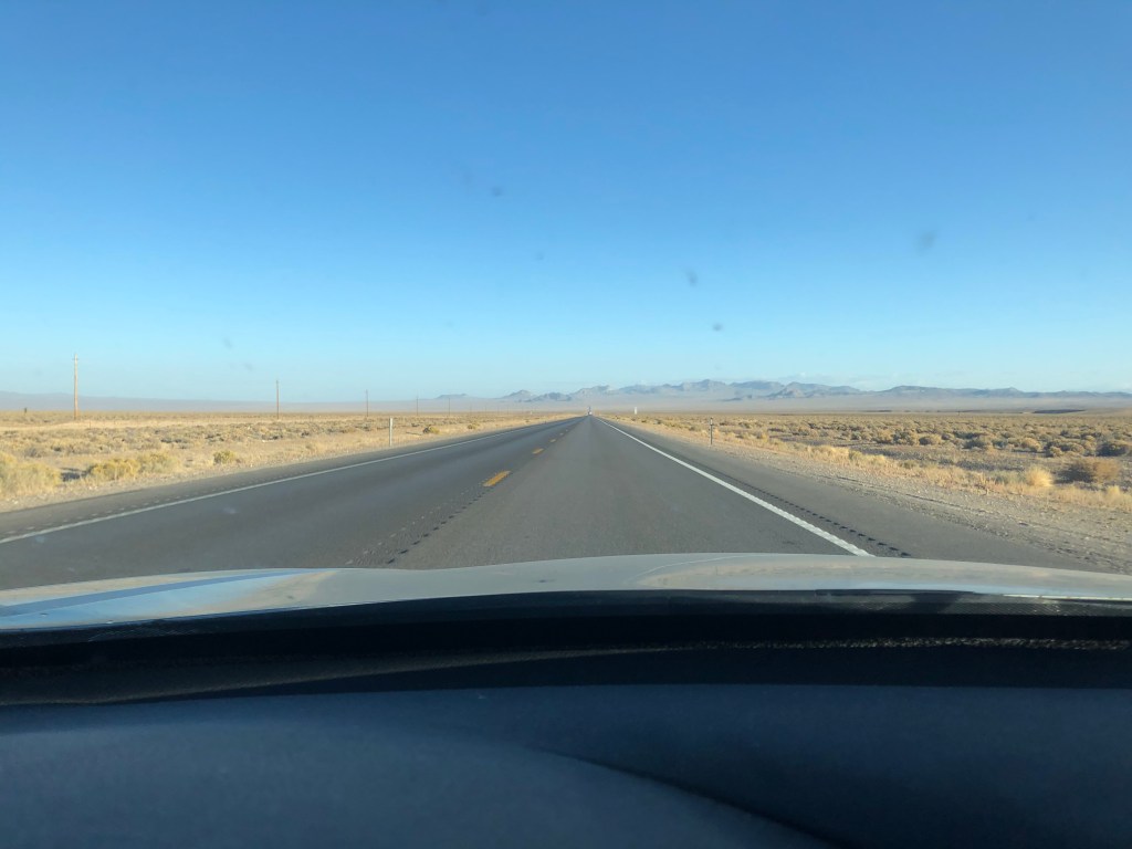
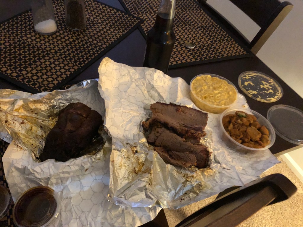
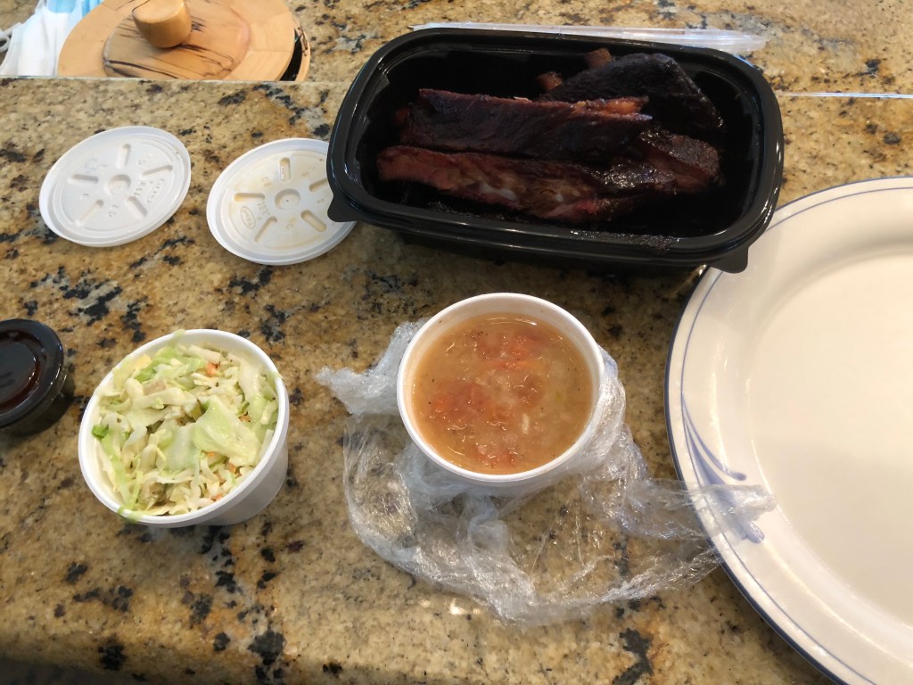
Tuesday morning I grabbed coffee from downtown St. Louis on my way out and then drove I-70 to Kansas City. Actually, to Overland Park Kansas where I met Milt, my mother’s coworker, for lunch (I did drive through an unimpressive KC on the way). With my trip’s best BBQ in my belly I hit the road yet again to get myself to rural west Kansas for the night. The drive had a tiny bit more topography than I imagined, and lots and lots of Trump signs along the way on billboards or farms along the highway. Although an uneventful ride, I enjoyed the grain elevators and old farms that doted the countryside and found myself not nearly as bored as I expected to be.
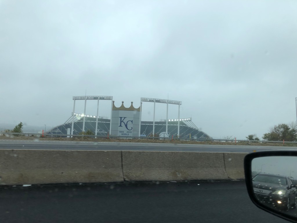
Eastern Kansas City 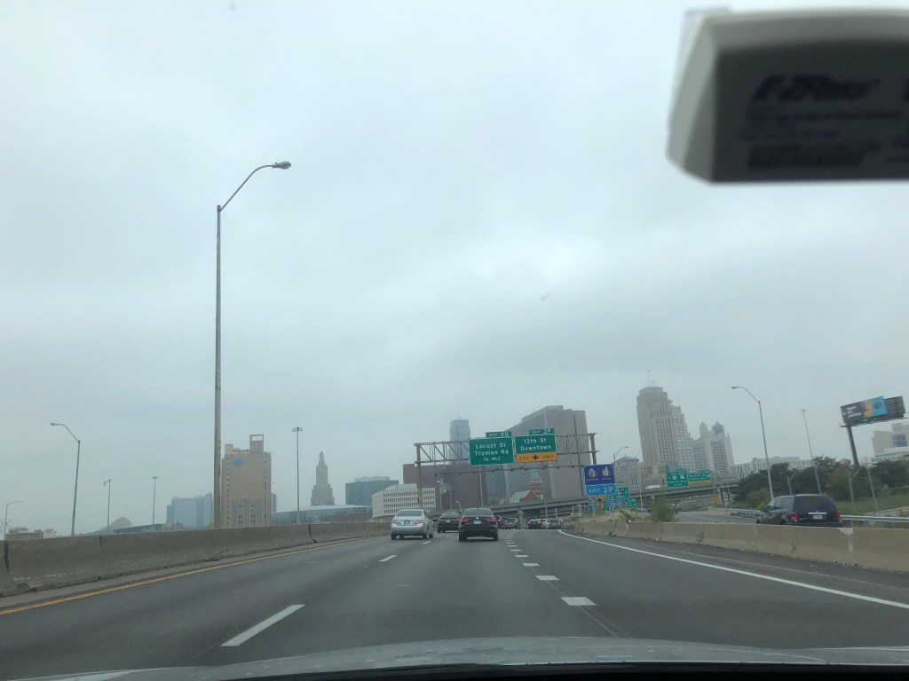
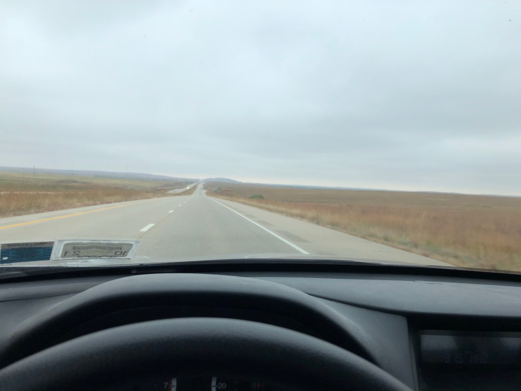
Once west of KC there was nothing left 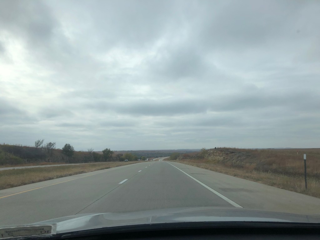
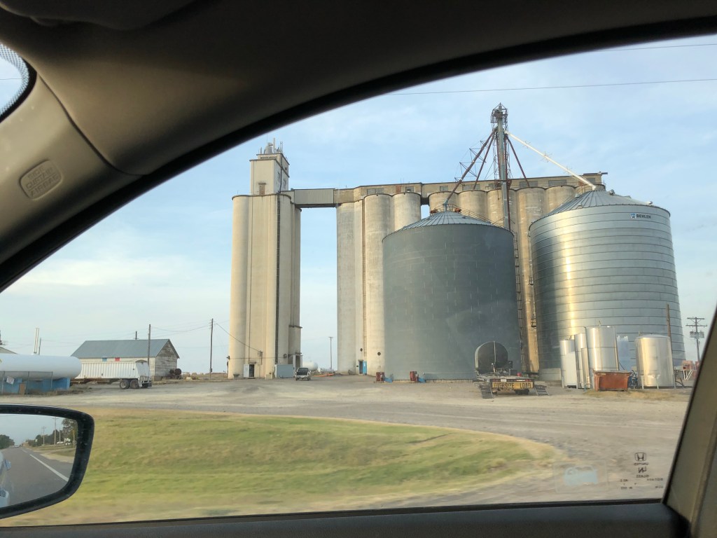
Except for grain elevators 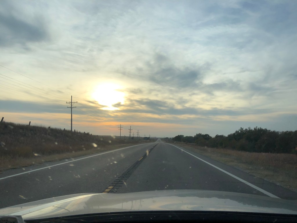
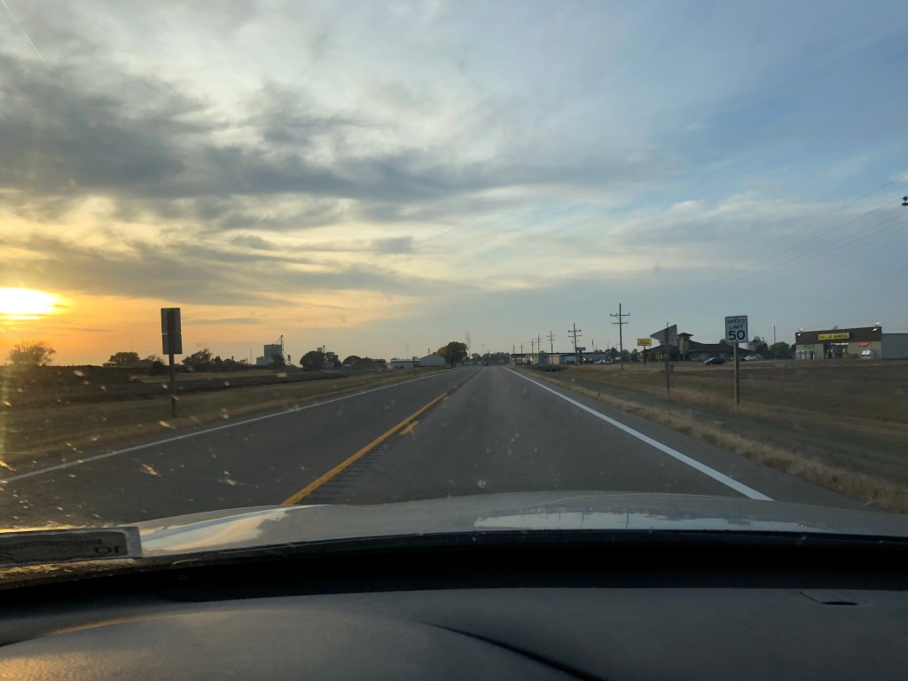
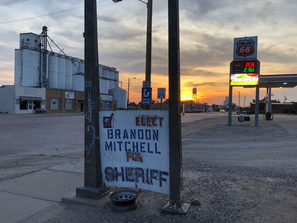
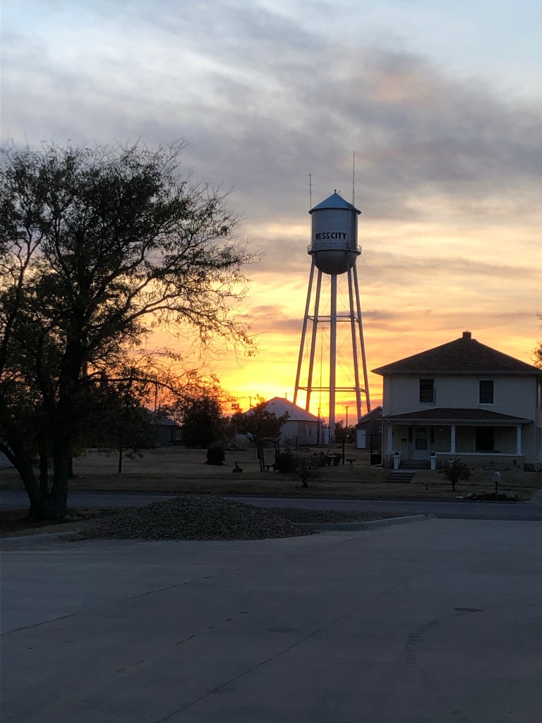
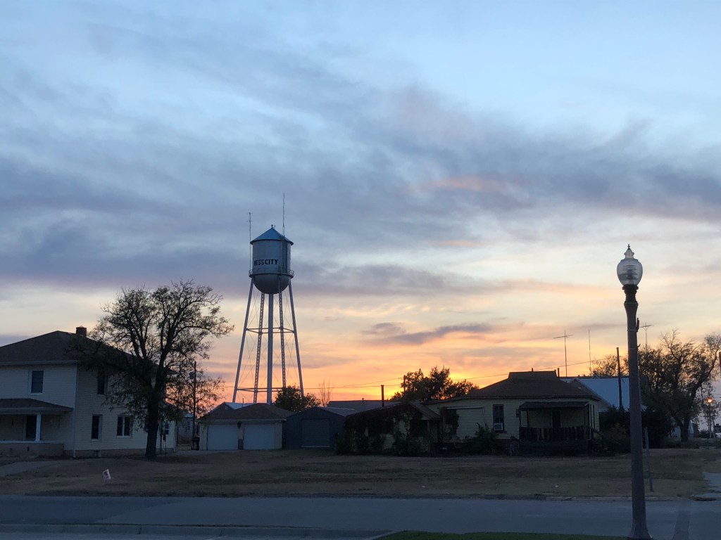
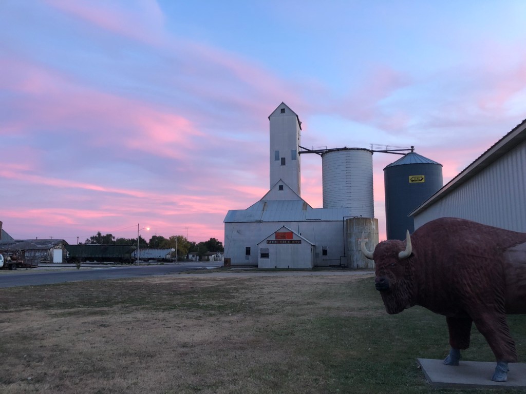
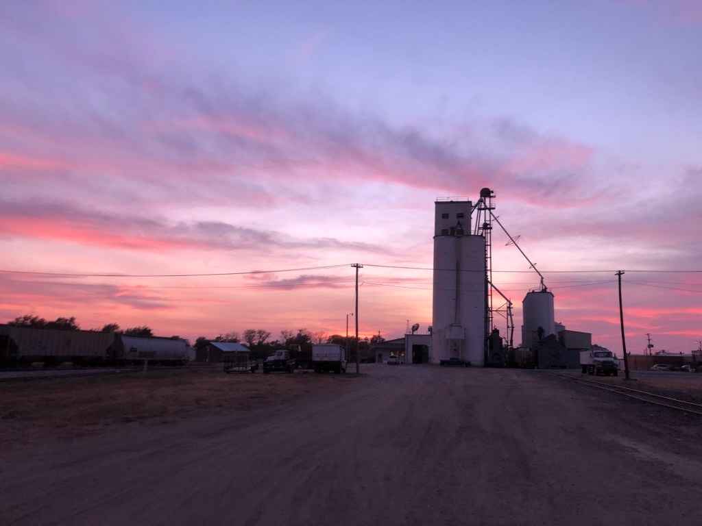
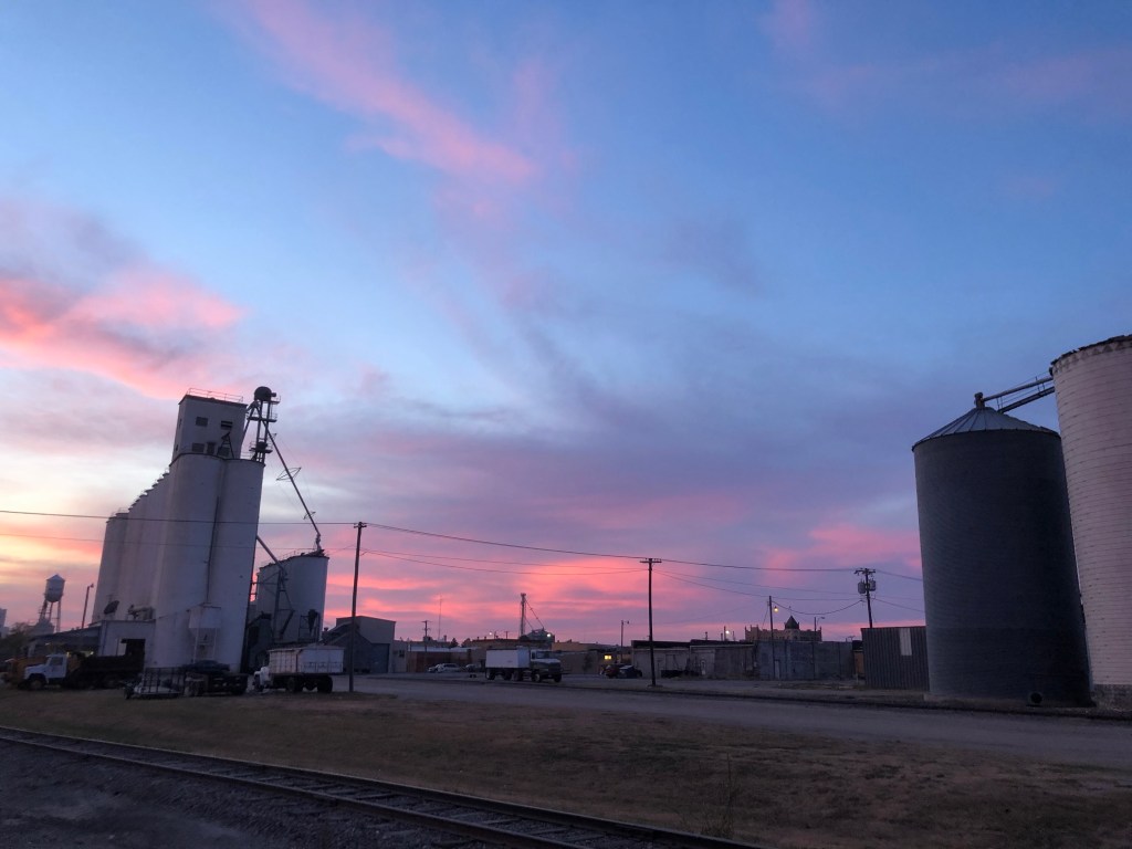
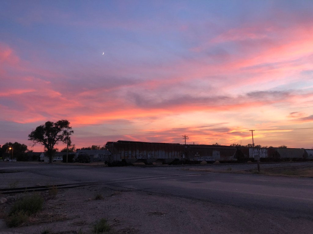
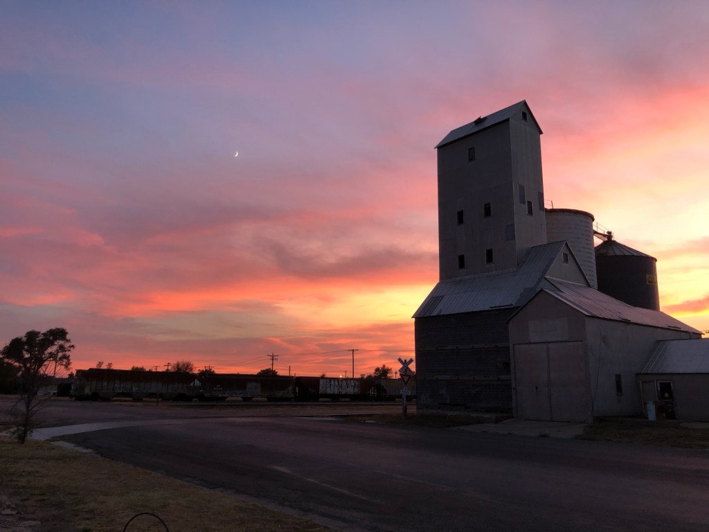
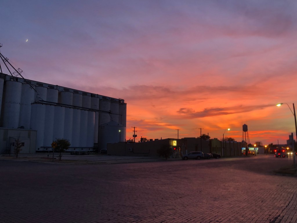
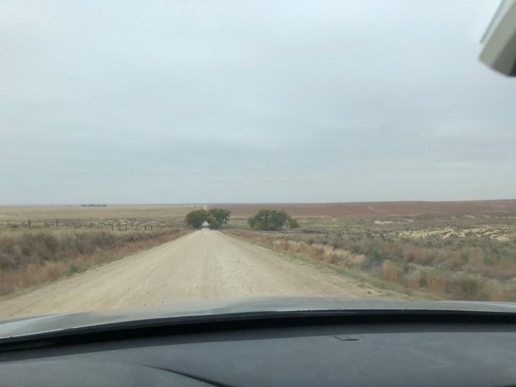
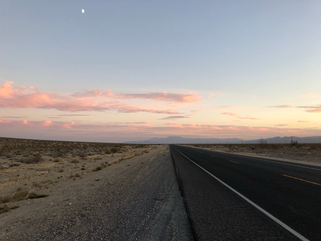
I pulled into Ness City Kansas shortly before sunset. Though I’d like to give you the benefit of the doubt, this next bit is assuming you’re ignorant to Ness City like I was. The seat of Ness County, this “city” with a population of just over 3,000 is named after Corporal Noah Ness who fought for the union in the first US Civil War. Ness was given this honor by Topeka lawmakers despite never having lived in the city or county. I don’t know if he would’ve been proud of the place, but I appreciated it and it’s three “downtown” blocks for what it was. Only one of the few restaurants open but I dared not go in amongst the maskless. Instead I wandered around the few blocks in the center of town and snapped some photos of an utterly stunning sunset, which apparently is common in the flatlands. I was good to be here for only a short time, but also glad to be here. It was fun walking around the abandoned trains and industrial farming buildings as the sky was changing all sorts of colors that my iPhone photographs can’t convey.
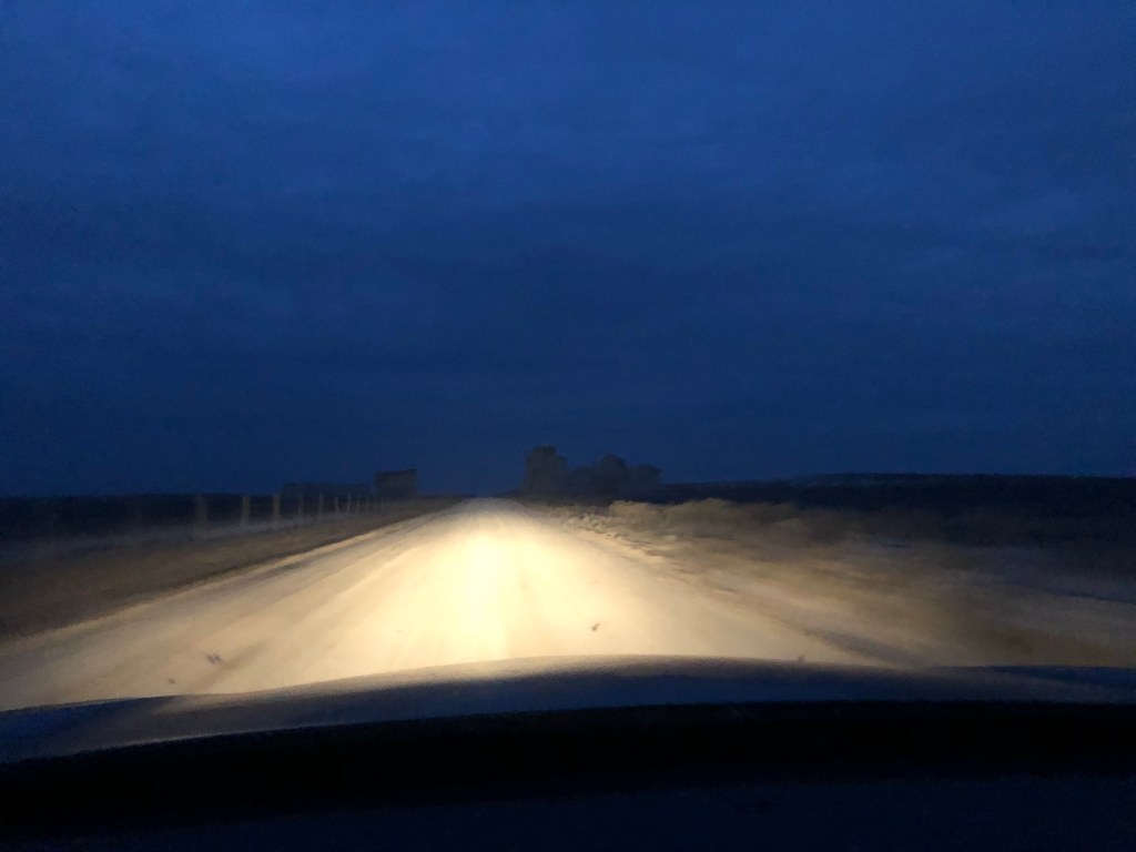
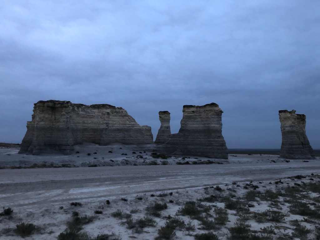
I awoke well before dawn Wednesday morning to watch sunrise from Monument Rocks, which was a little over an hour northwest of Ness City. The last 15 or so miles were down a dirt road and the only activity I saw on the way were a few farmers getting an early start. Monument Rocks is an 80-million year old chalk formation, and among the more unique things I had seen up until this point on my drive. Unfortunately there was no sun, but I was still able to enjoy the limestone shapes and snap some good photos. The powdery soil and eerie quiet (until another couple of cars showed up about 10 minutes after me) made me feel like I was on the surface of the moon.
What’s that in the distance? 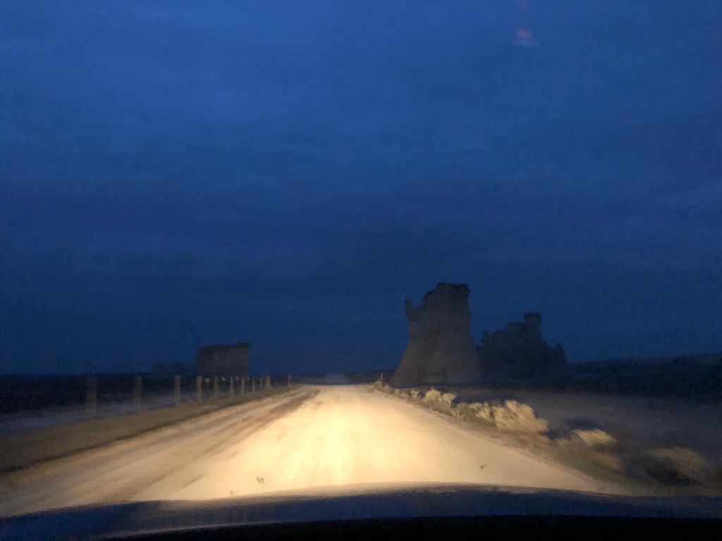
Could it be? 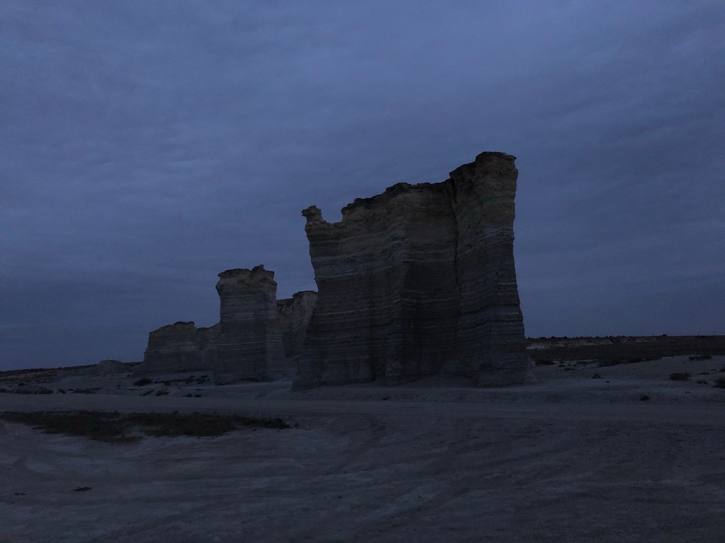
Monument Rocks! 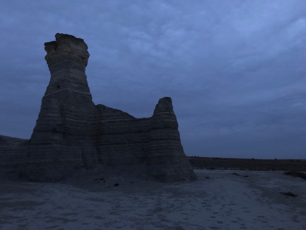
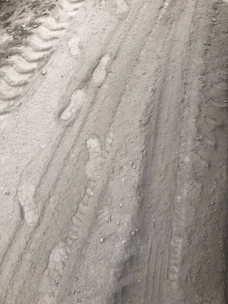
Moonish chalky dirt 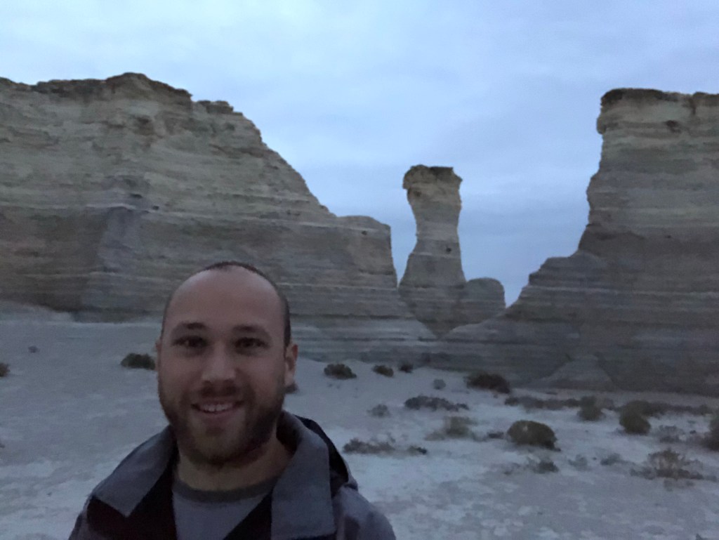
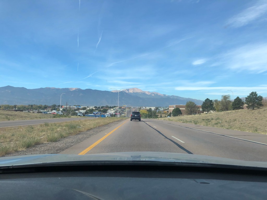
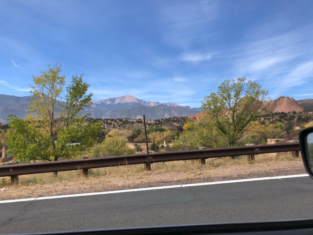
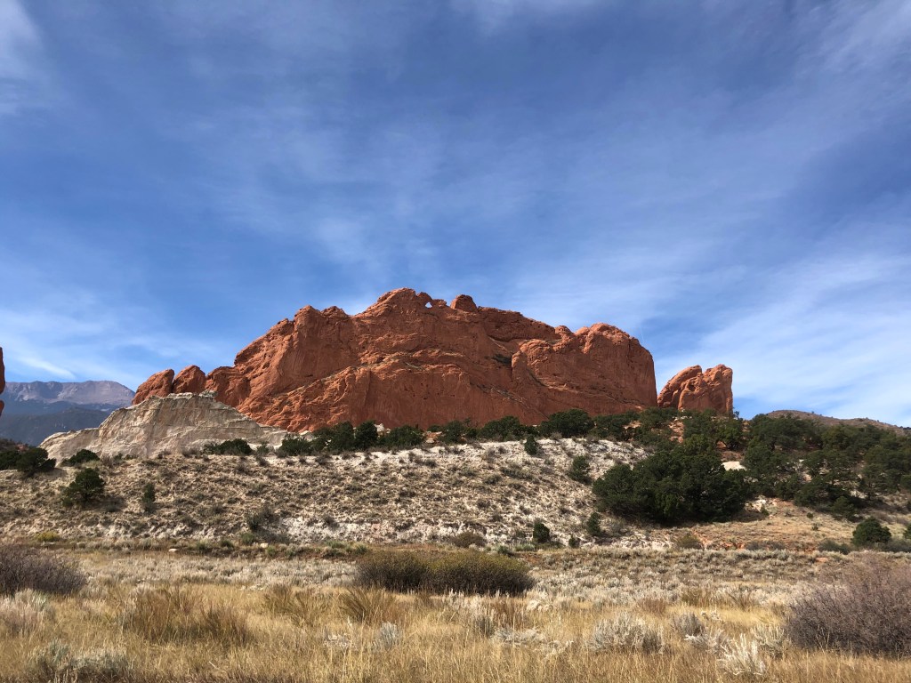
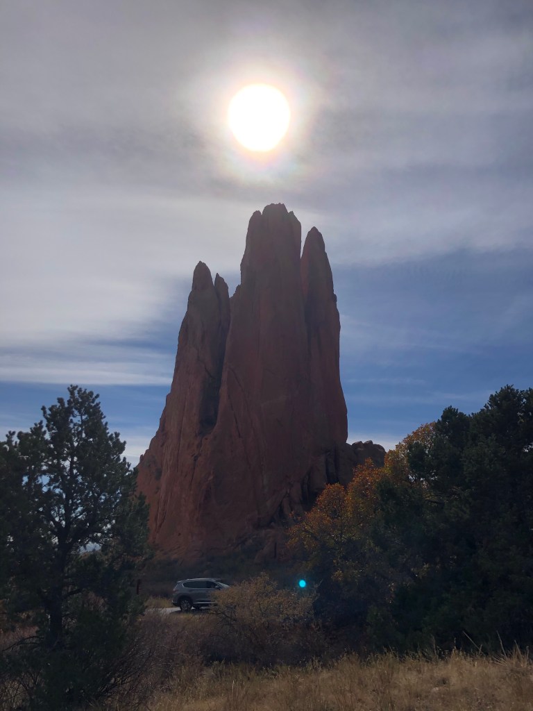
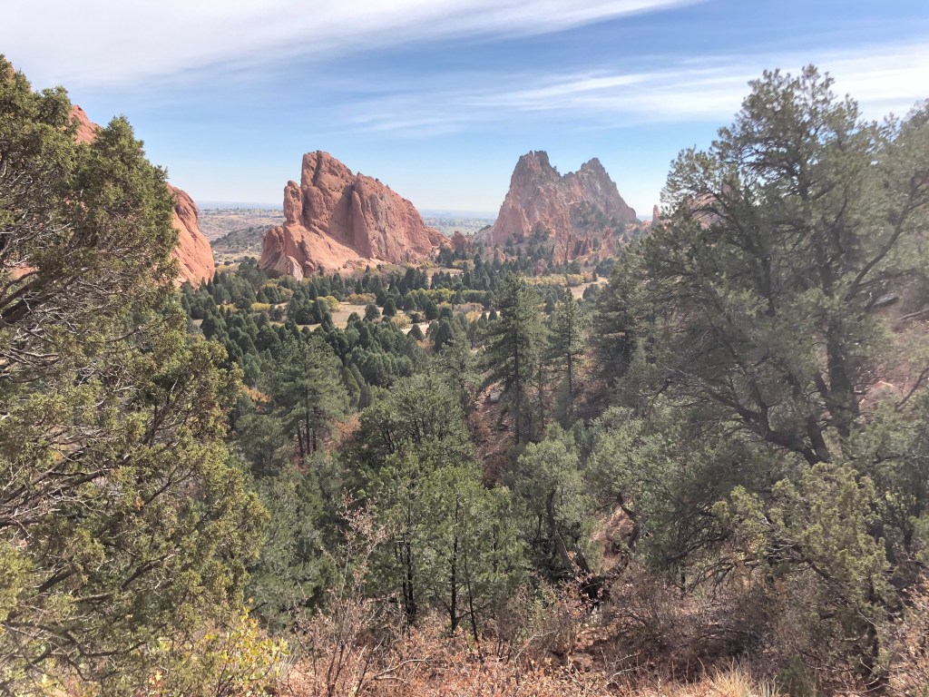
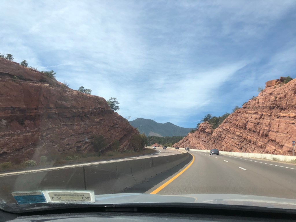
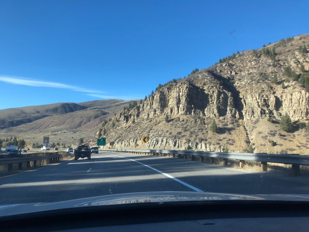
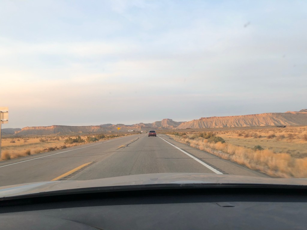
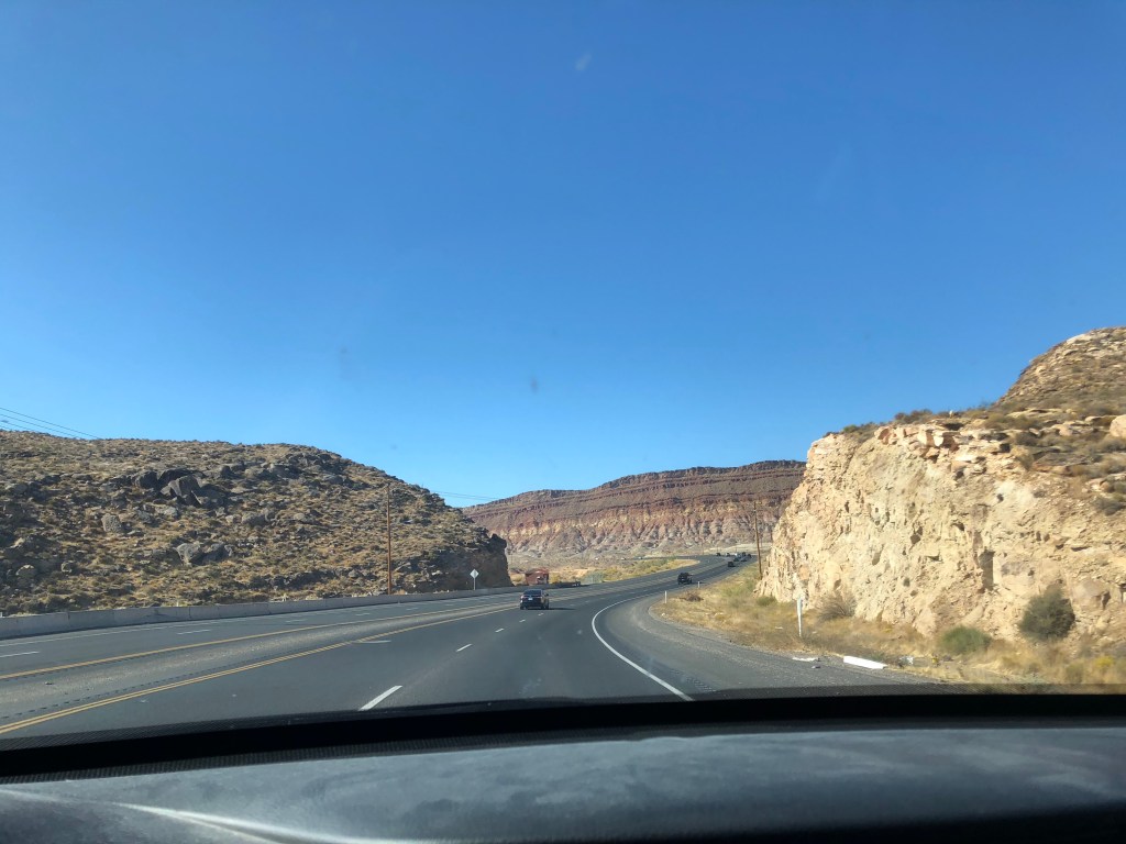
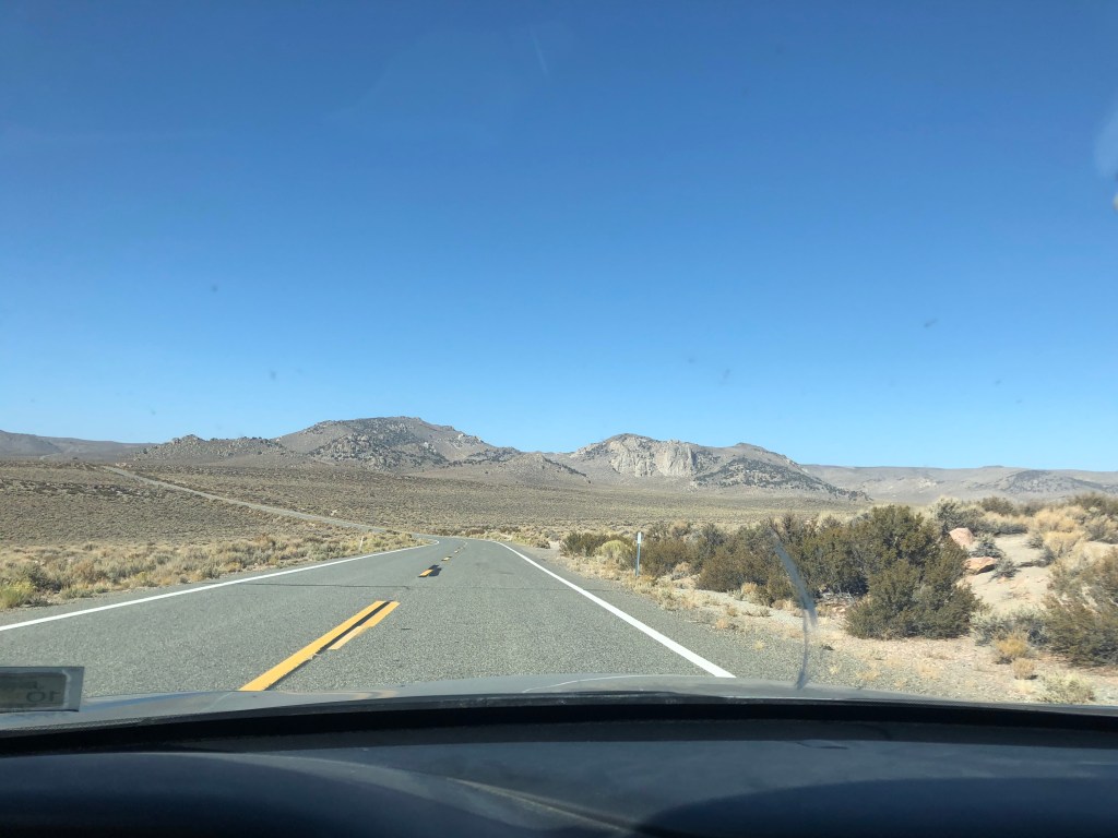
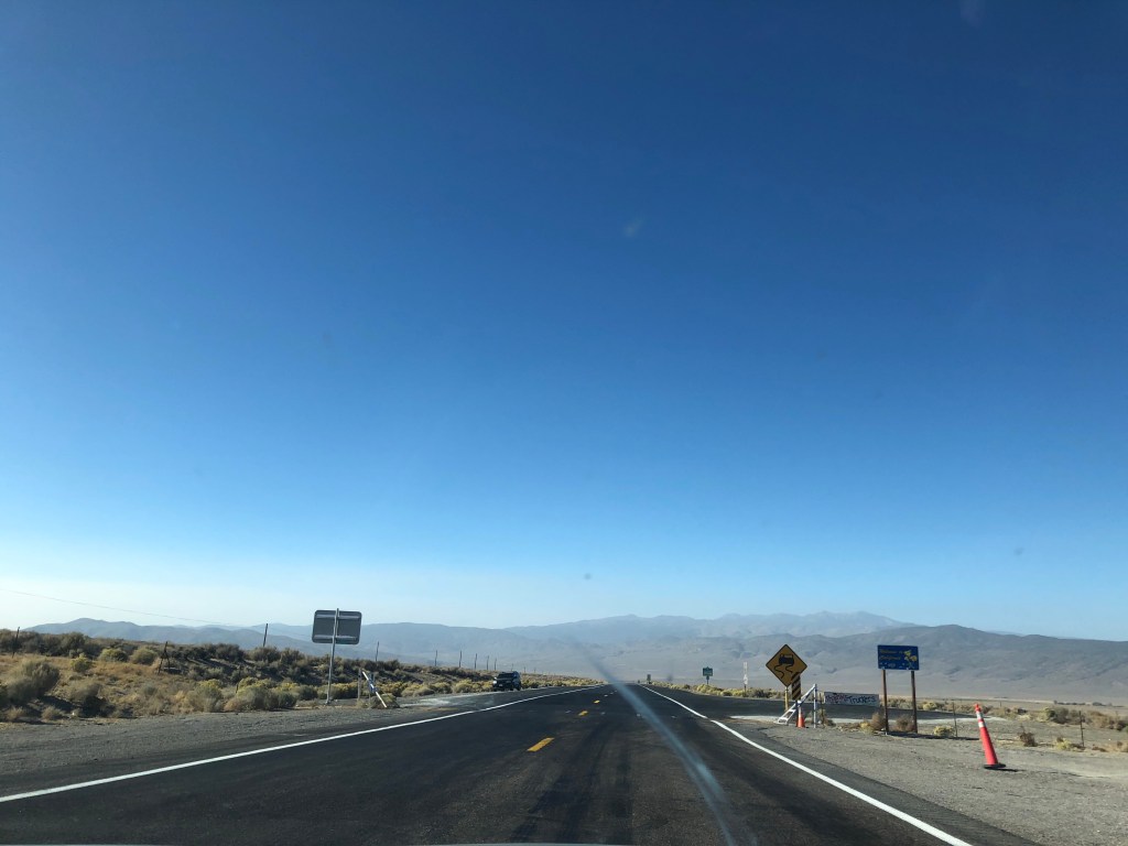
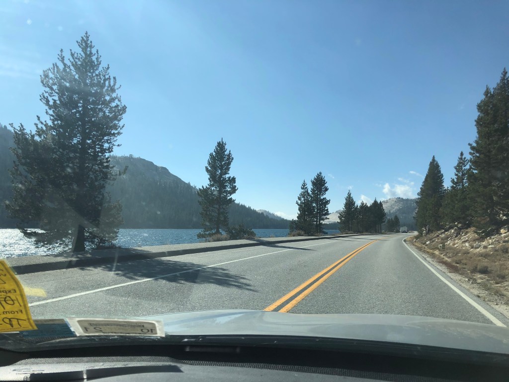
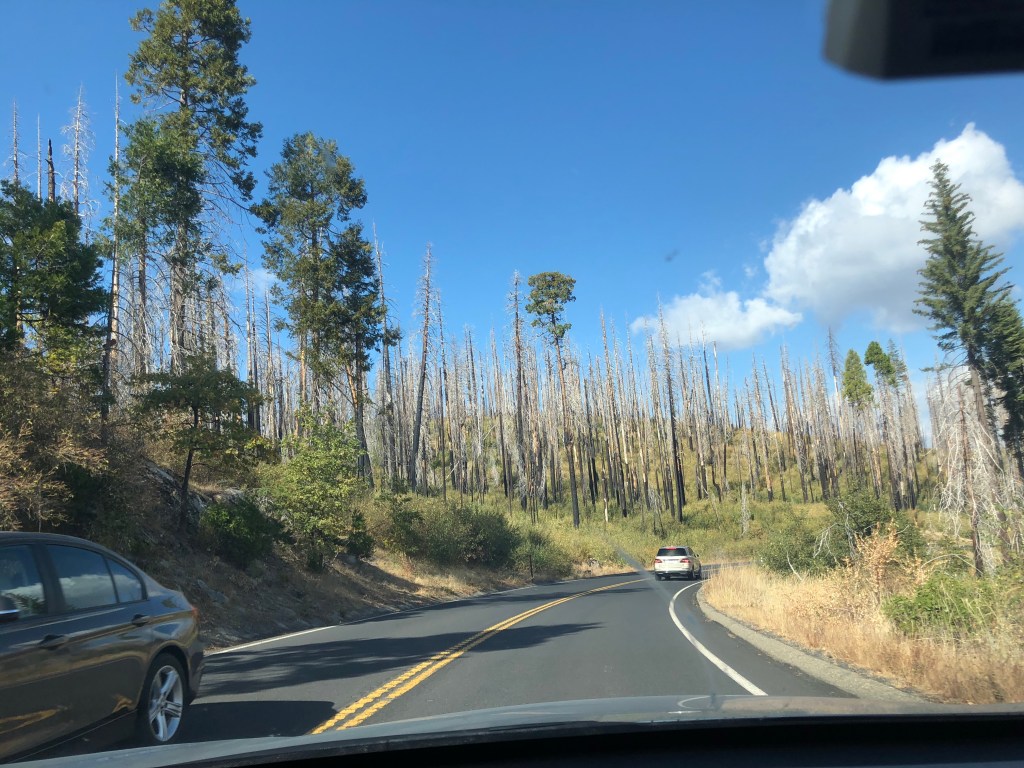
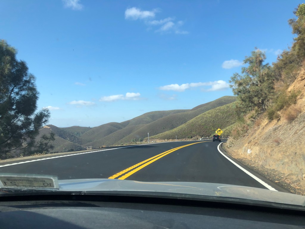
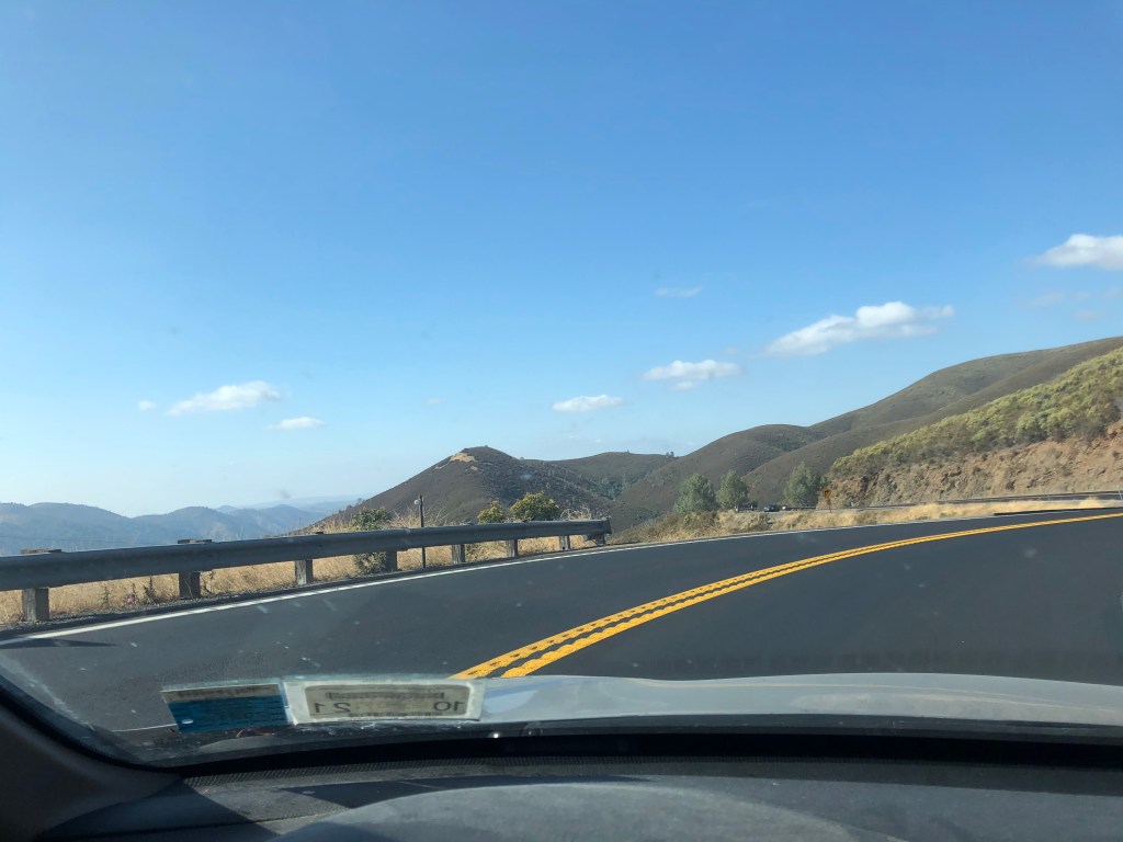
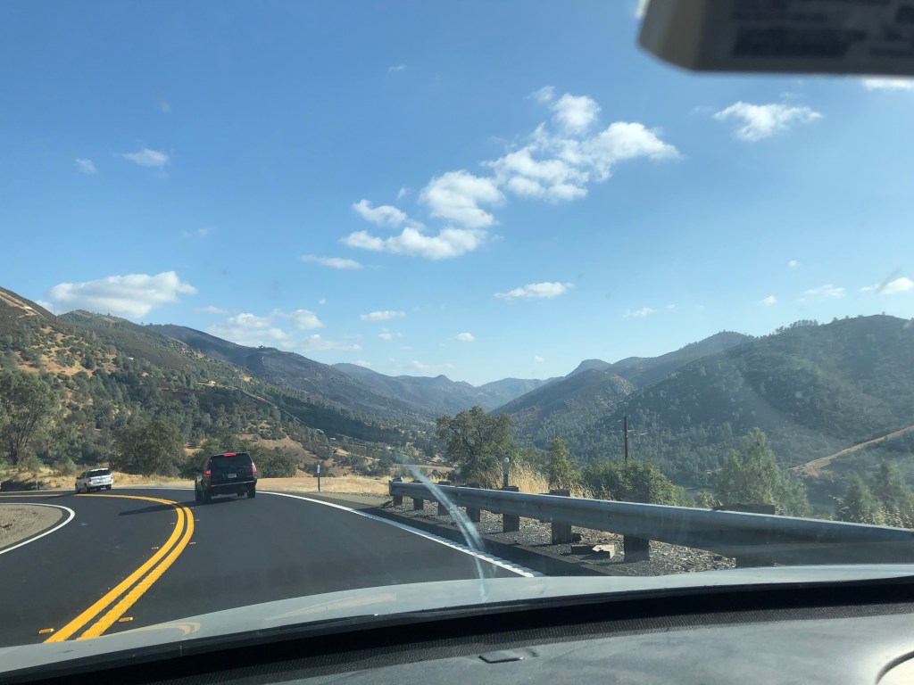
Then I continued west into Colorado. The landscape changed slowly before leaving Kansas, but southeast CO vibes more like KS than the Rocky Mountain State we all know it as. Eventually I saw mountains in the distance through the fires-induced haze. I pulled into Colorado Springs around lunchtime and grabbed a sandwich and copy of Where the Sidewalk Ends for Leah (i’ll get to her in a moment). I wasn’t impressed by the bit of the east side of the city I spent a few minutes in (perhaps not the best part of town?). I did make one other stop in Colorado Springs – the Garden of the Gods. Nestled in the northern edge of the city, I would try to explain this place but my photos will do a far better job than I could. I walked around here for about an hour.
Back on the Kansas highway 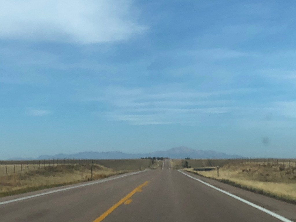
Mountains in the CO distance 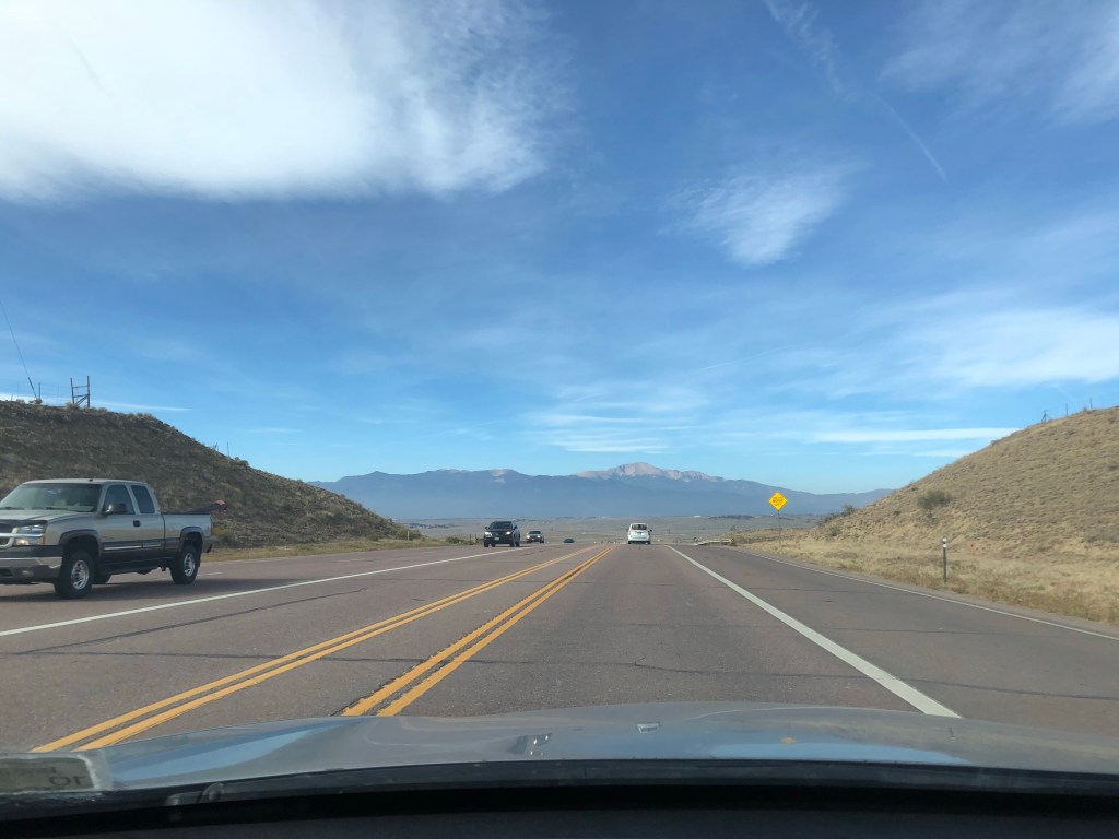
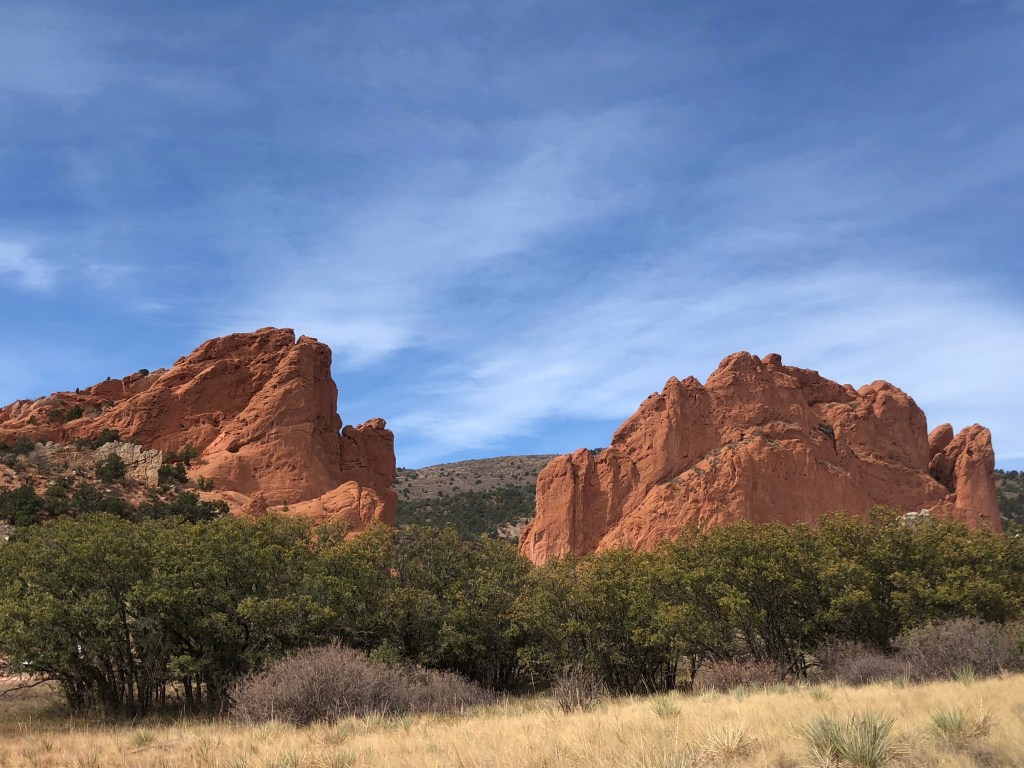
Garden of the Gods 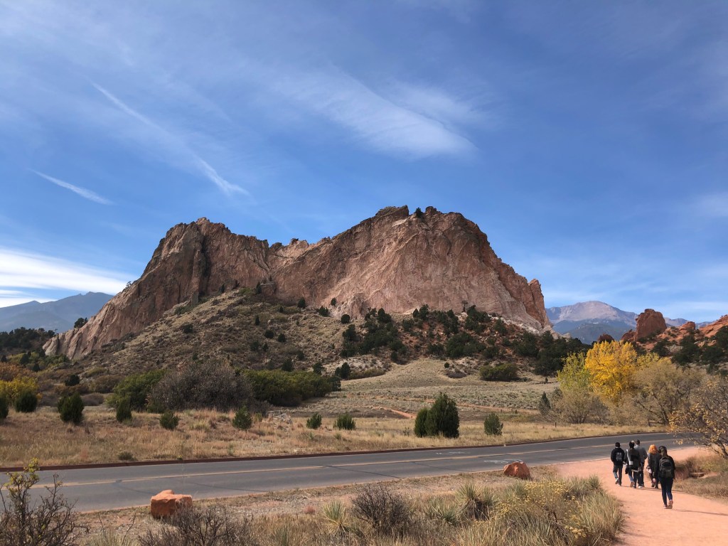
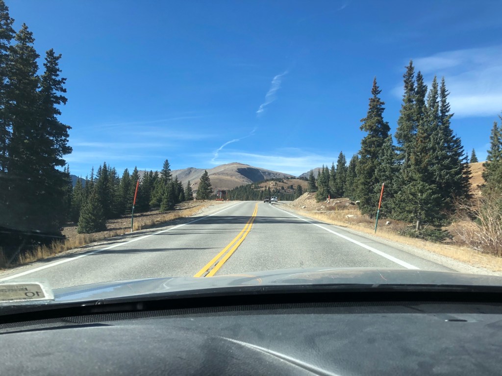
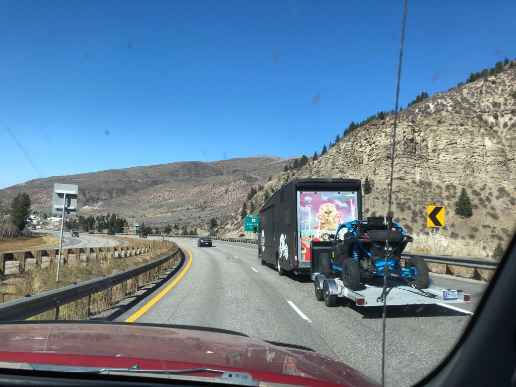
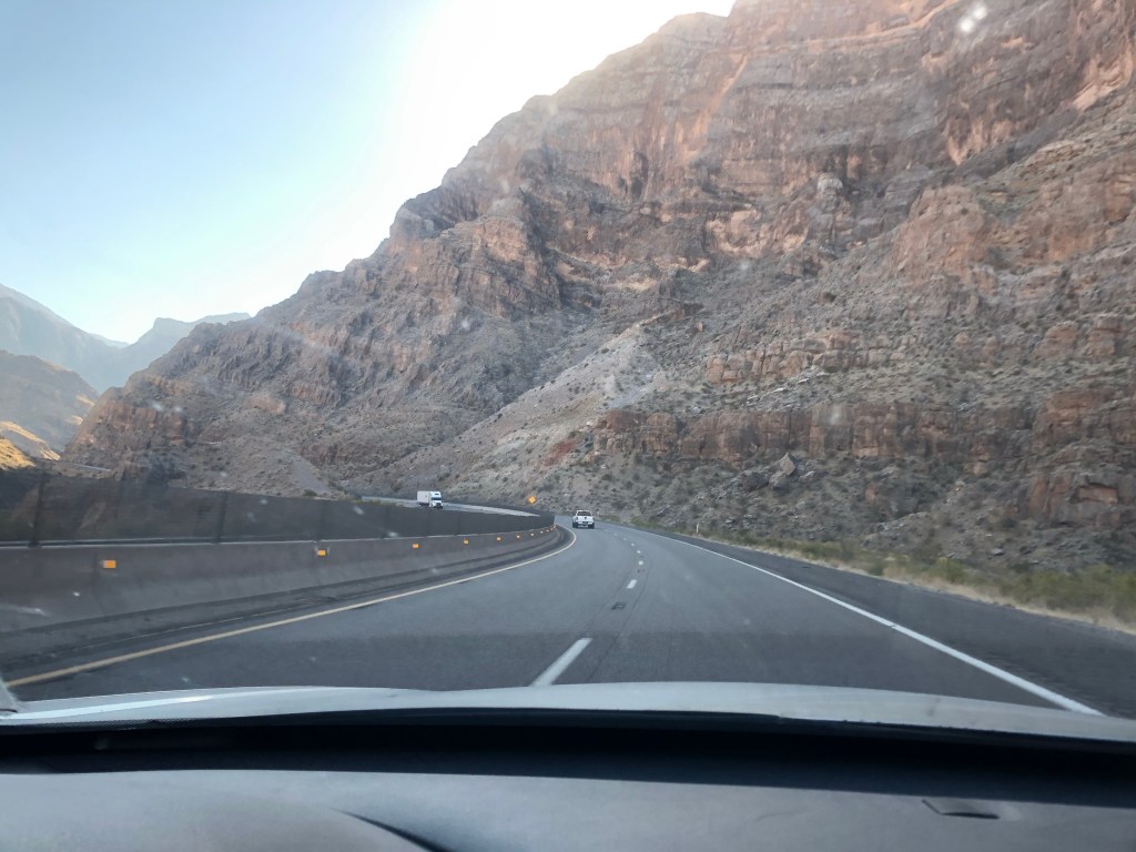
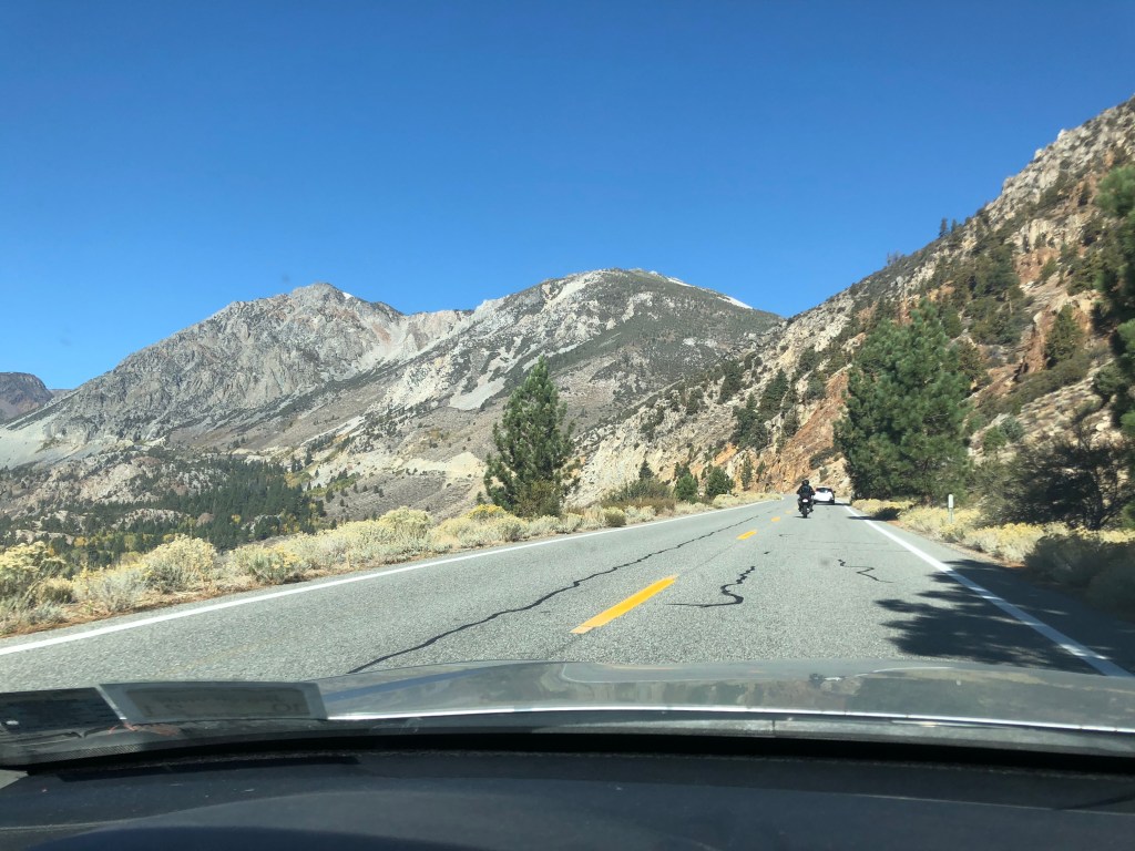
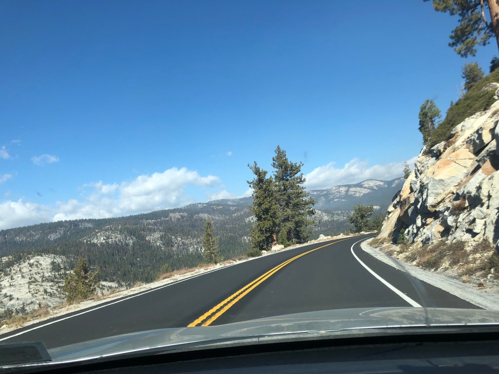
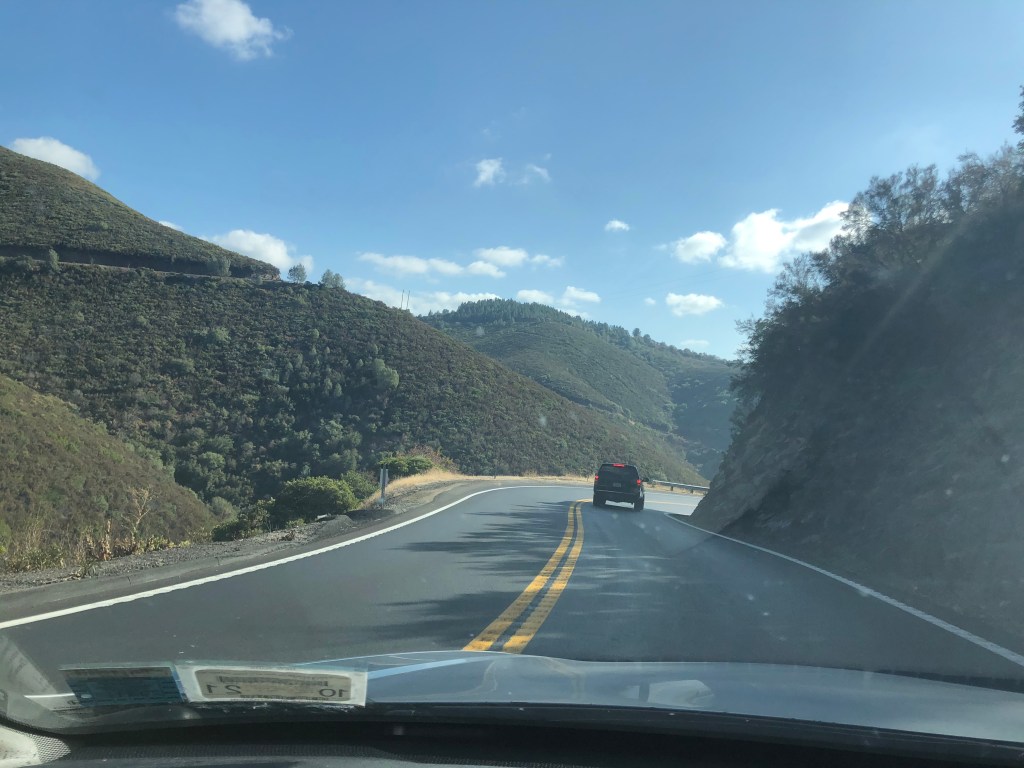
I then took the scenic route on 24 West and 9 North toward Vail (I had done the Denver-Vail drive/ride twice before and sought new terrain despite this adding some time to my drive). It was quite pretty, though my car was sluggish lugging a heavy trunk and backseat over mountainous switchbacks. I drove through Breckenridge and then back onto I-70 for the final push of the day.
Driving up through the Rockies 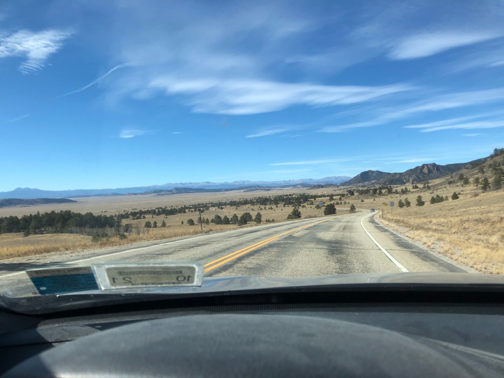
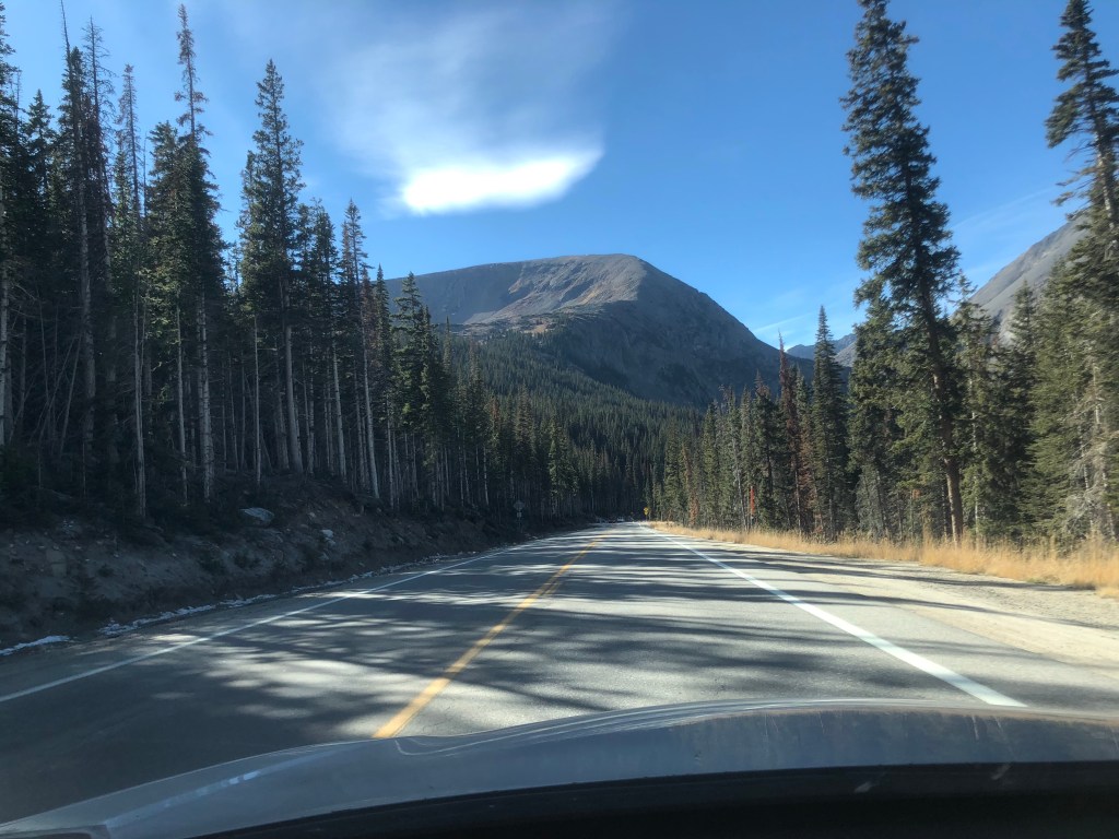
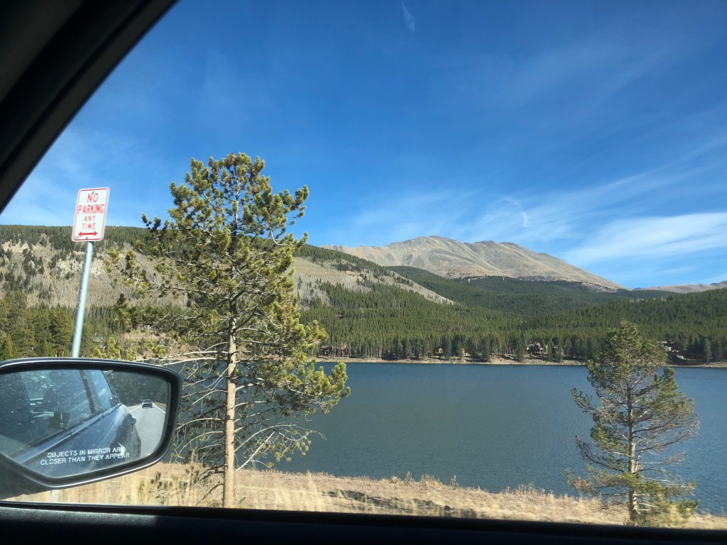
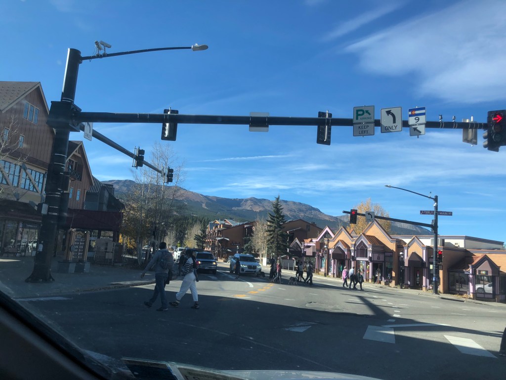
Breckenridge 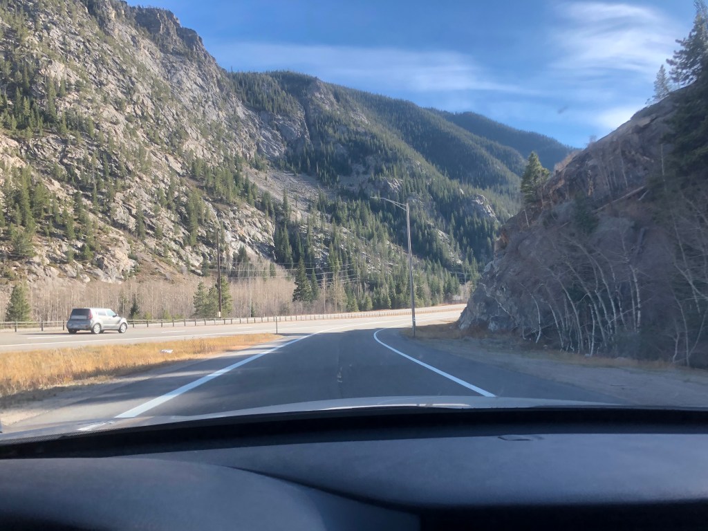
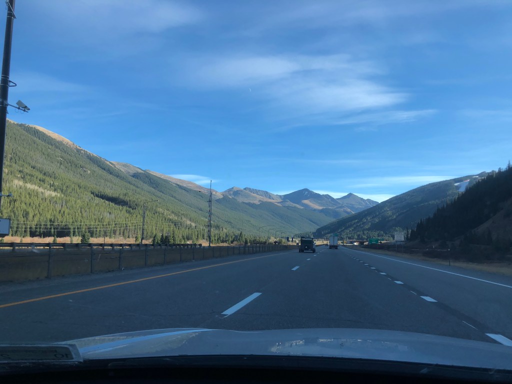

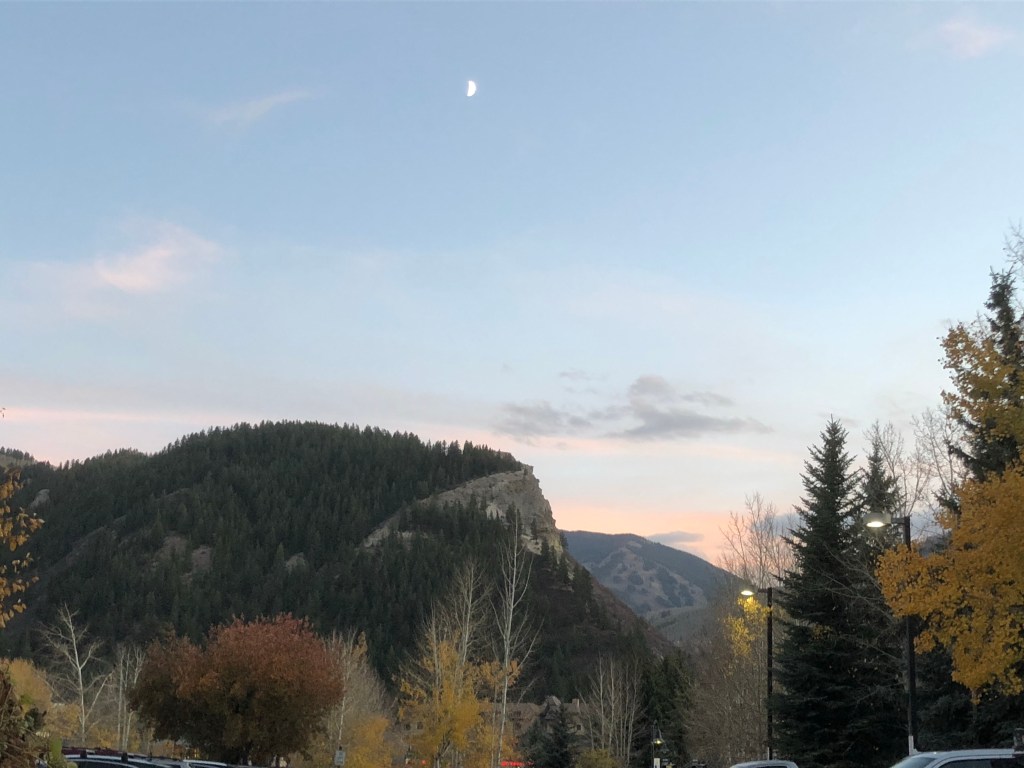
Vail
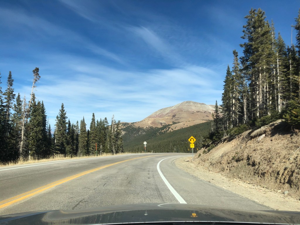
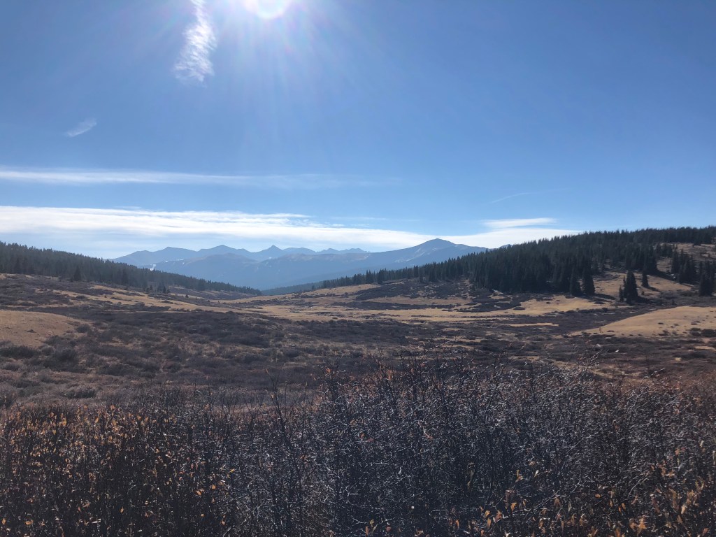
Vail was the first and only stop on the trip where I was (a) spending more than one night and (b) not staying at an AirBnB. Instead I stayed with high school friends Adam and Steph, and their 4-year-old Leah. It had been a couple of years and was both a welcome reunion and exciting breach of social distancing for all of us. Adam is a professional private chef and took care of dinner for the first night. The next day after he dropped Leah at school Adam and I met his brother Seth, also a high school friend and adopted Coloradan, to hike the Shrine Pass.
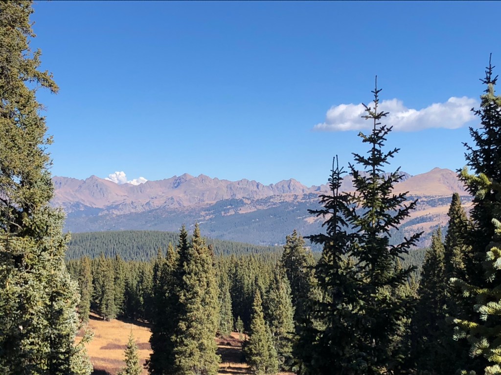
Smoke from the Colorado fires visible over the mountains 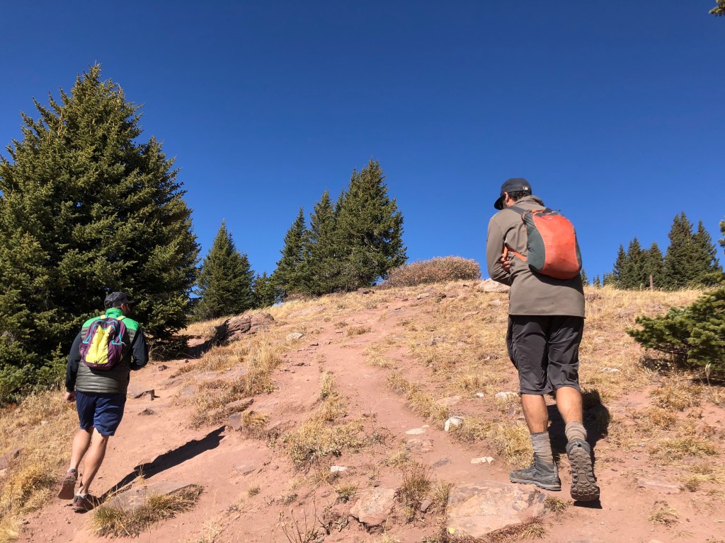
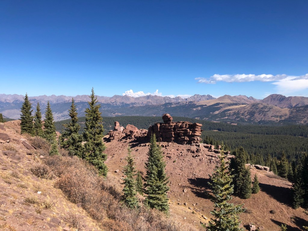
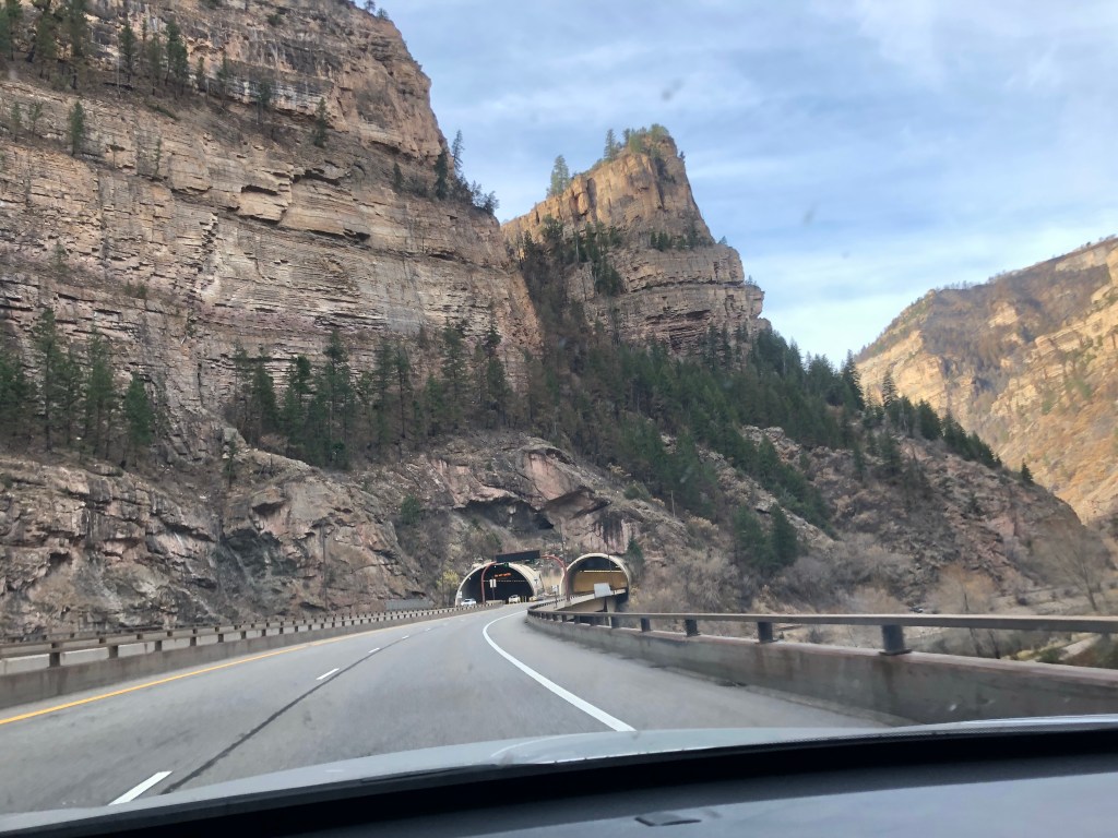
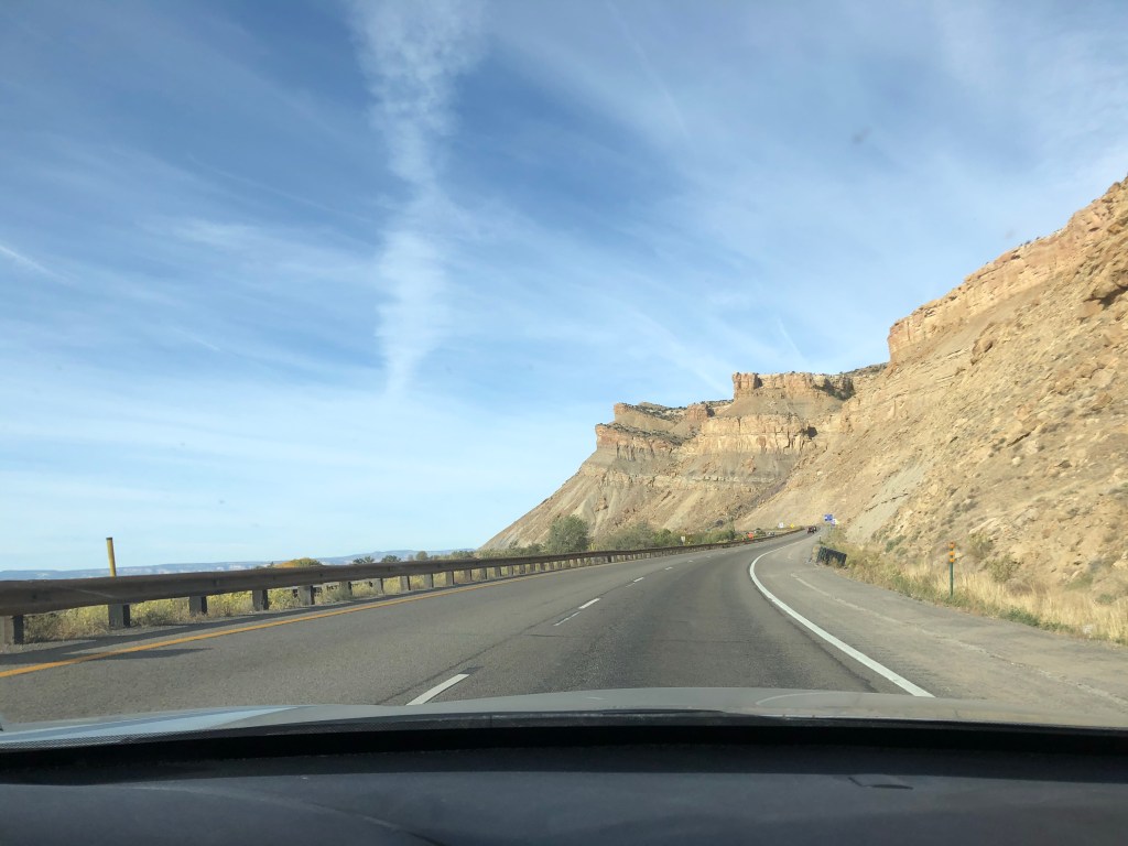
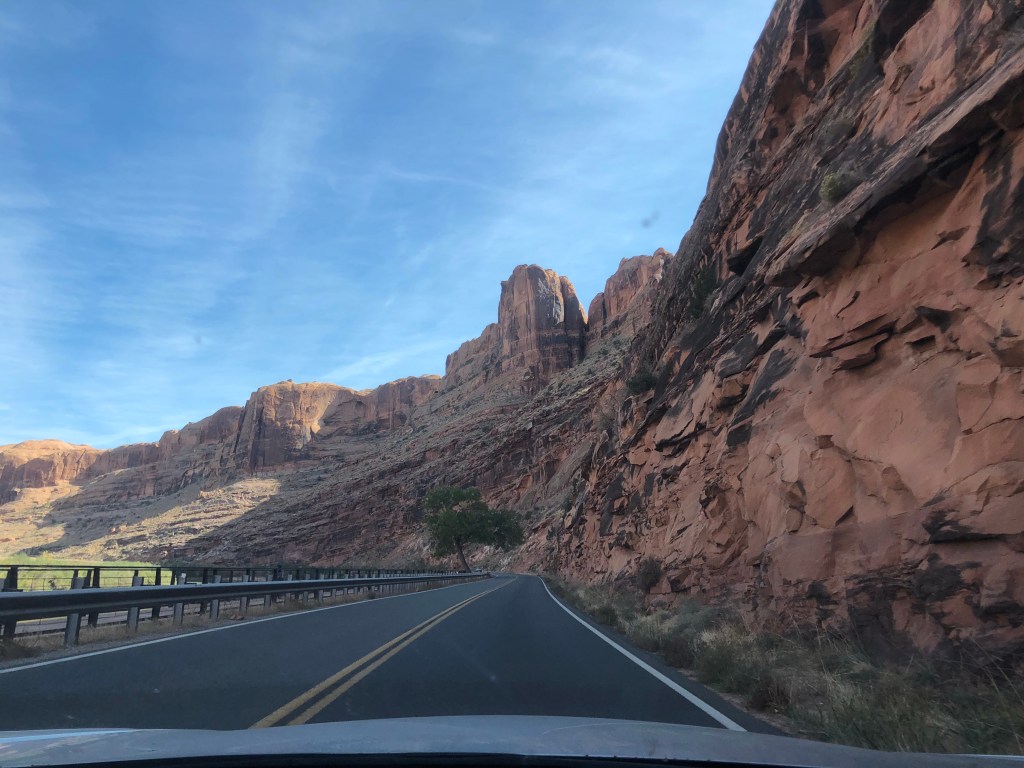
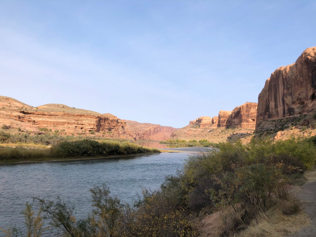
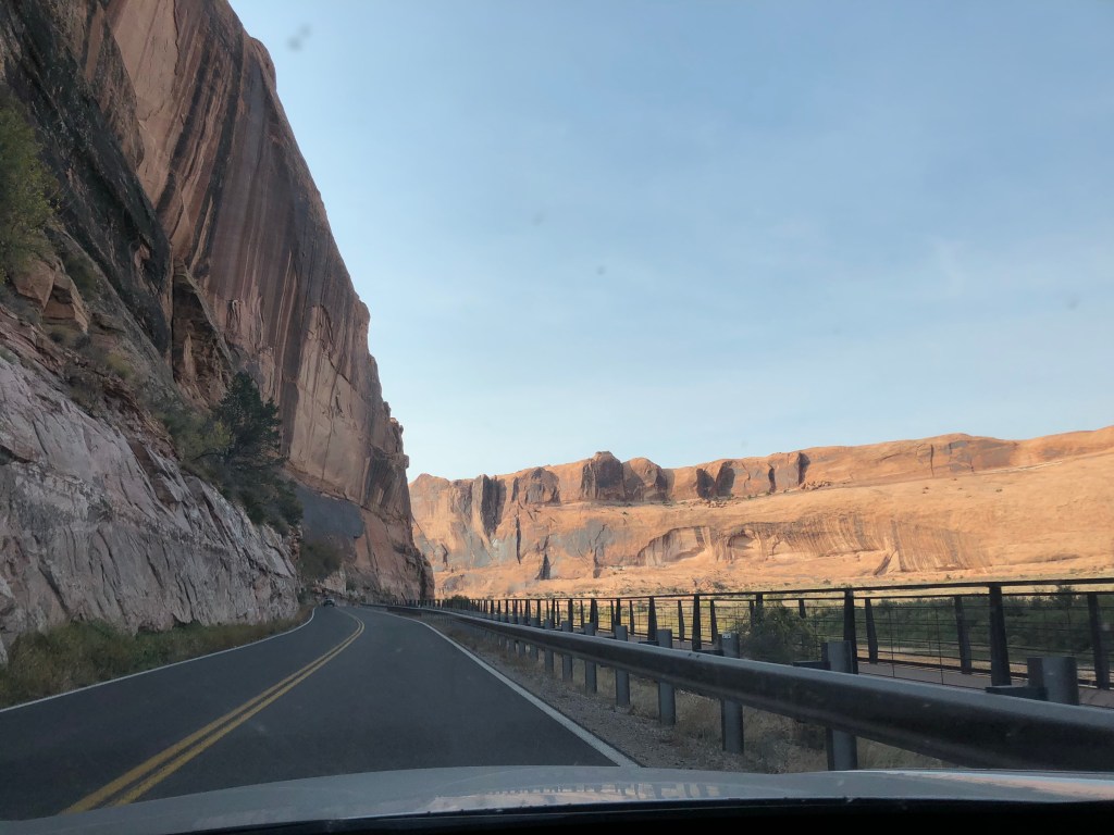
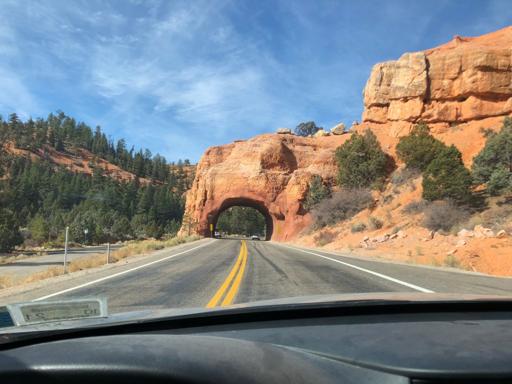
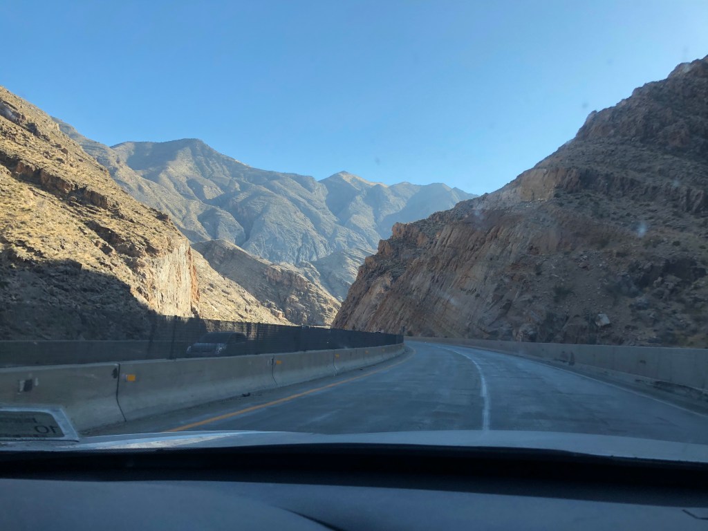
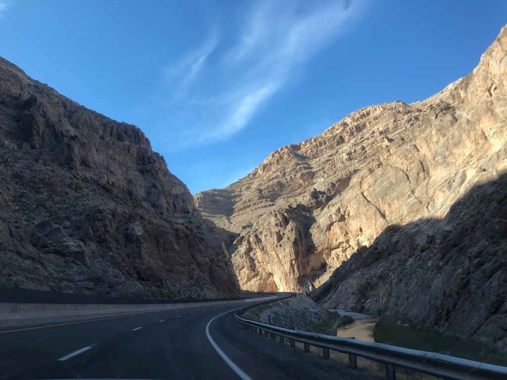
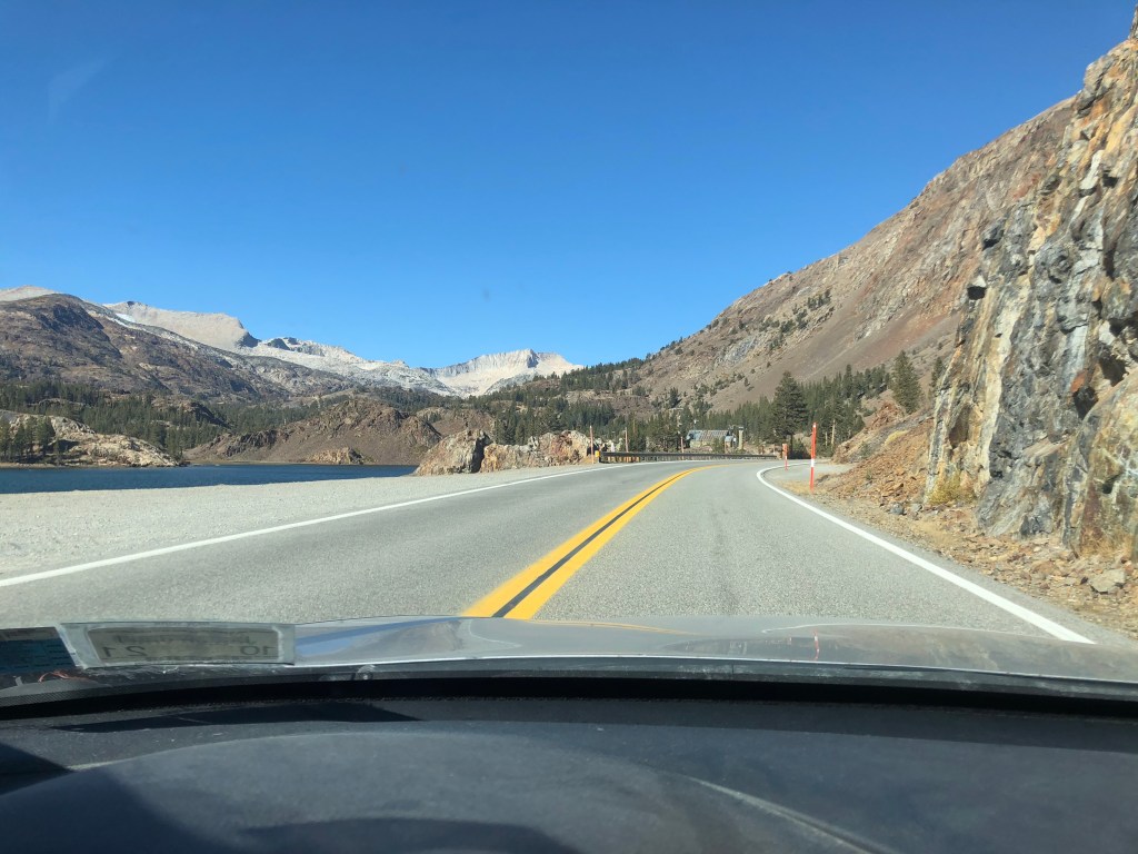
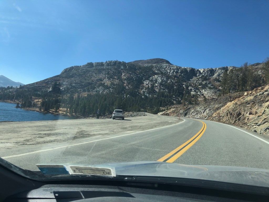
After our hike we dined outdoors at a local restaurant, watched the debate, watched Borat, and called it a night before early morning goodbyes on Friday. Not only great to see 3 adult old friends, I hadn’t seen Leah since she was only a few months old, and thus nice to be able to converse and play with her. I hit the road a little later than I had hoped, getting out the door close to 9am and thus getting into Moab Utah a little after 12. Oh my gosh, what a drive what a drive what a drive. Through the mountains and canyons and along the epic red rock formations of Utah. I can’t say enough about how awesome I-70 is through western Colorado and eastern Utah.
Interesting 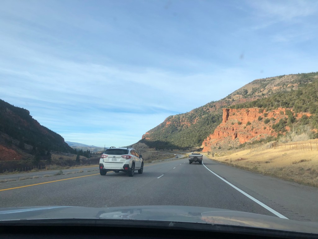
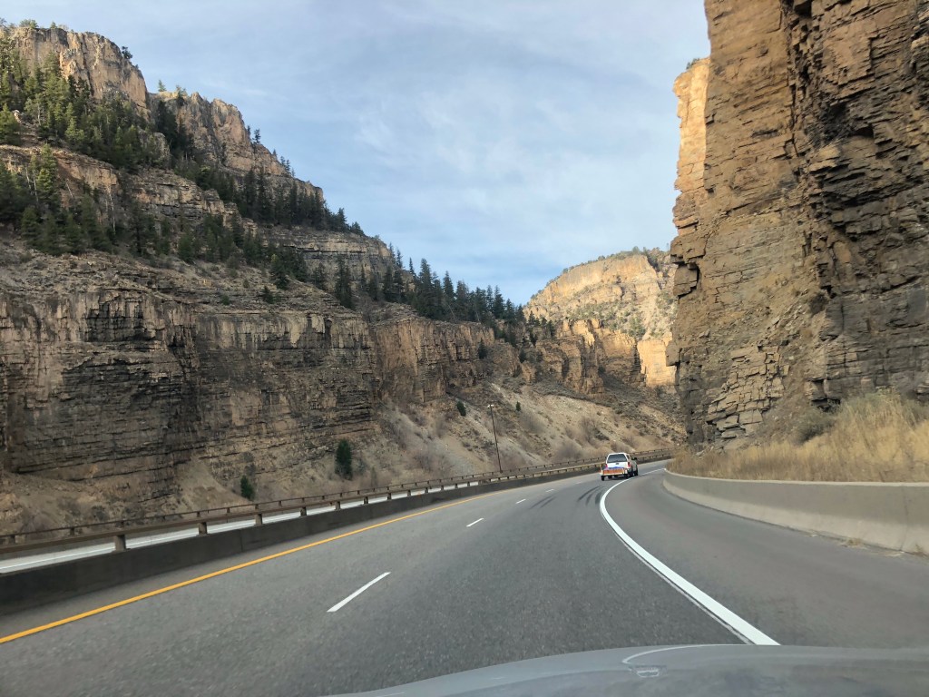
Canyon drive was fun 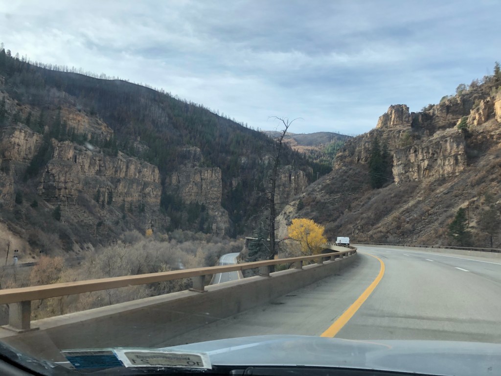
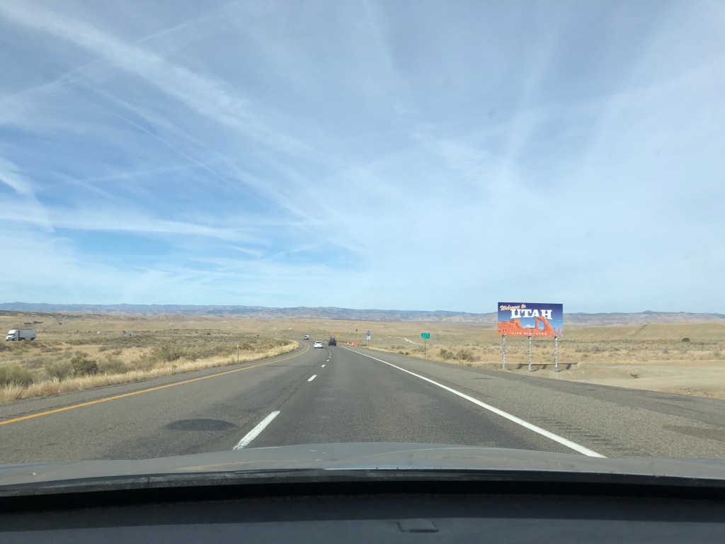
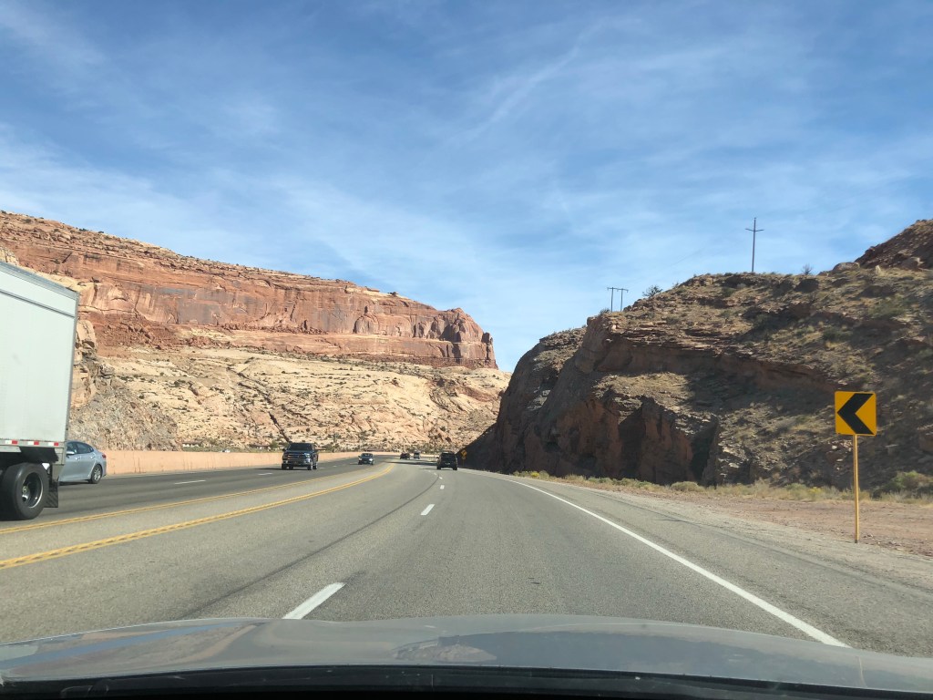
Utah rocks 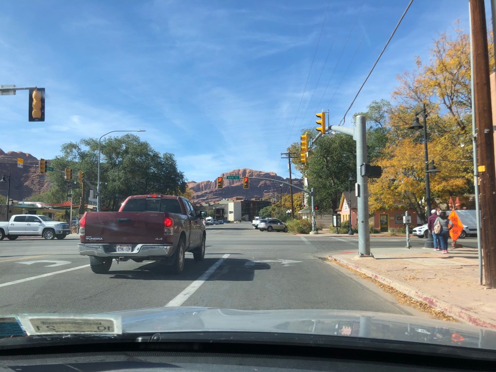
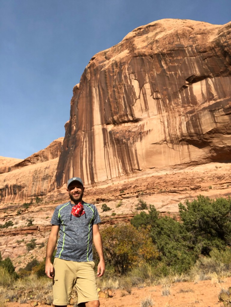
Moab
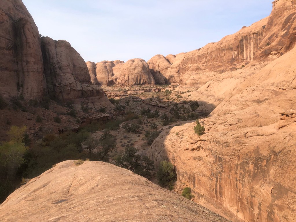
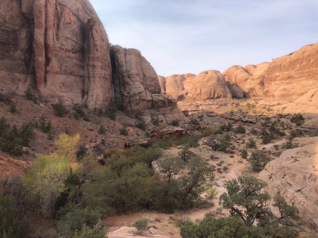
I grabbed lunch in the busy touristy town of Moab and headed to Arches National Park, which was full and thus temporarily closed. The sign said come back later. Aww shucks, I guess I had to skip it. There were plenty of local Moab hikes outside of the park so I headed to the Grandstaff Canyon Trail which also happens to end at an arch a couple of miles in. The hike was quite beautiful and fairly easy.
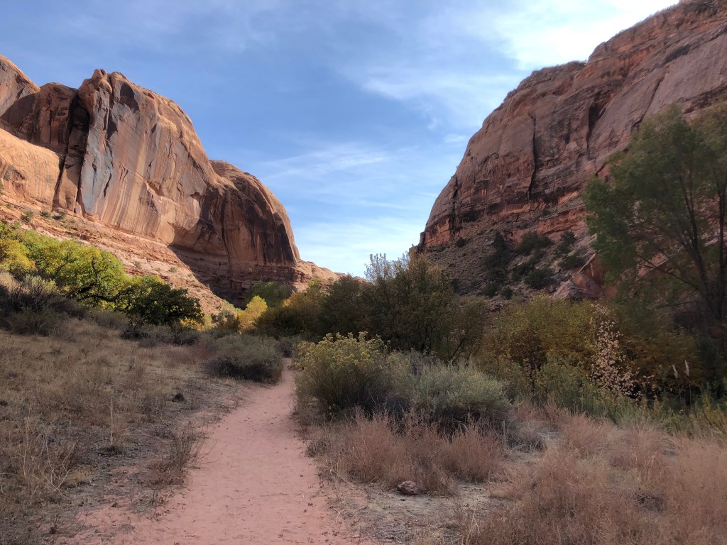
Entering Grandstaff Canyon 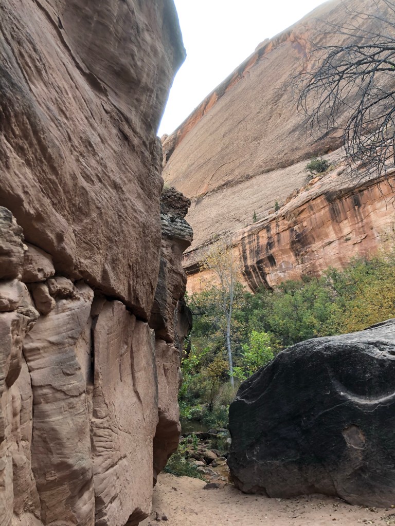

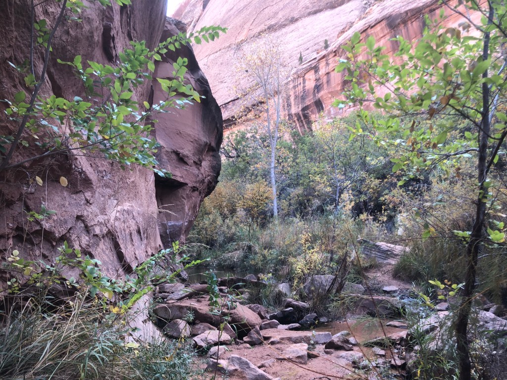
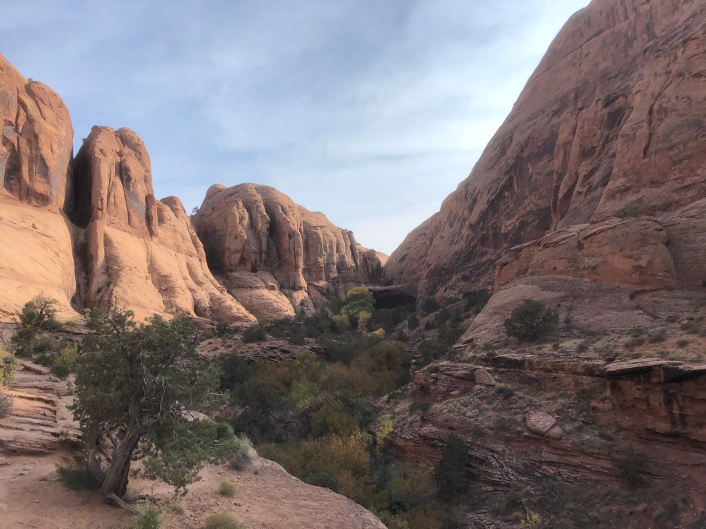
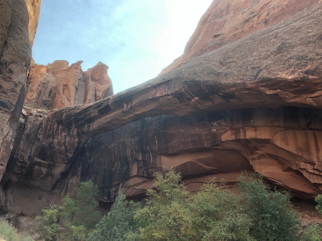
Morning Glory Arch 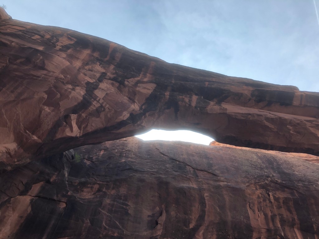
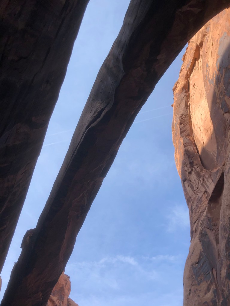
Not too much separation from the rock alongside it but still an arch 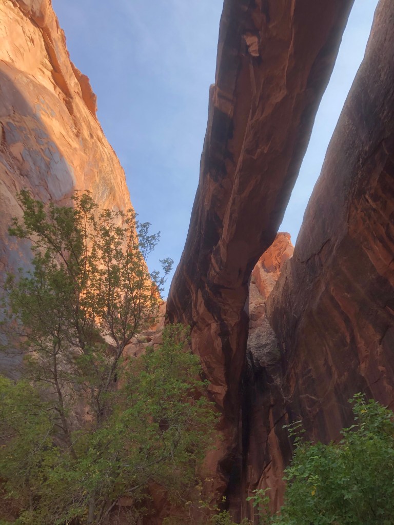
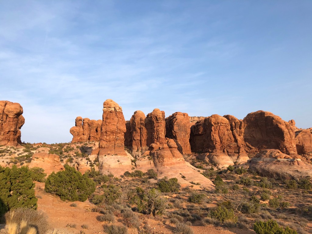
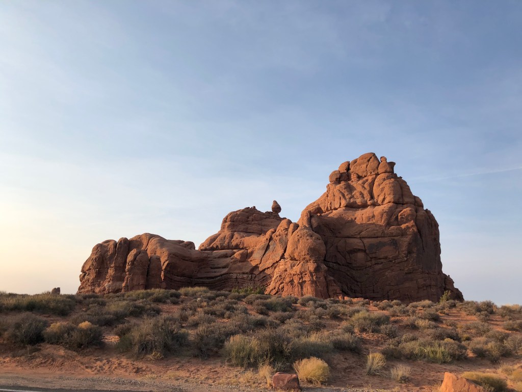
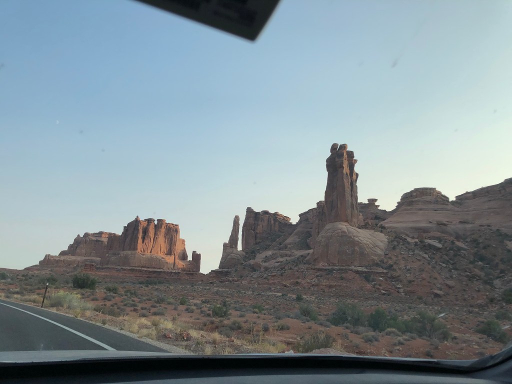
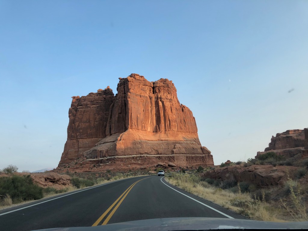
After Grandstaff Canyon it was getting close to 4pm and I had nearly 3 more hours to drive so I figured I’d get on the road and maybe stop somewhere for dinner or find a short hike along the way if I felt ambitious. I had booked a place in rural southwestern Utah. My route took me back past the entrance to Arches which now had a steady stream of cars entering smoothly, so I figured what the heck, and headed in. Arches is a ‘driving park’ where there’s completely breathtaking and awe inspiring views of spectacular rock formations from the road, plenty of pull-off parking, and a number of larger parking areas at some of the more iconic destinations. I made my way to two, the Balanced Rock and the Windows.
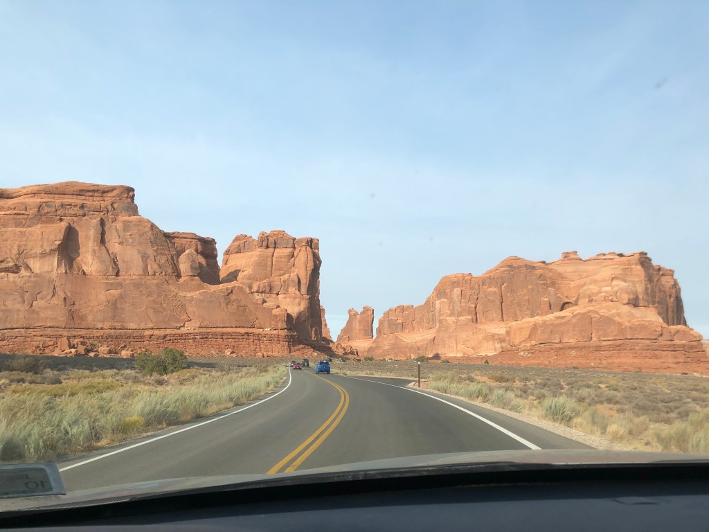
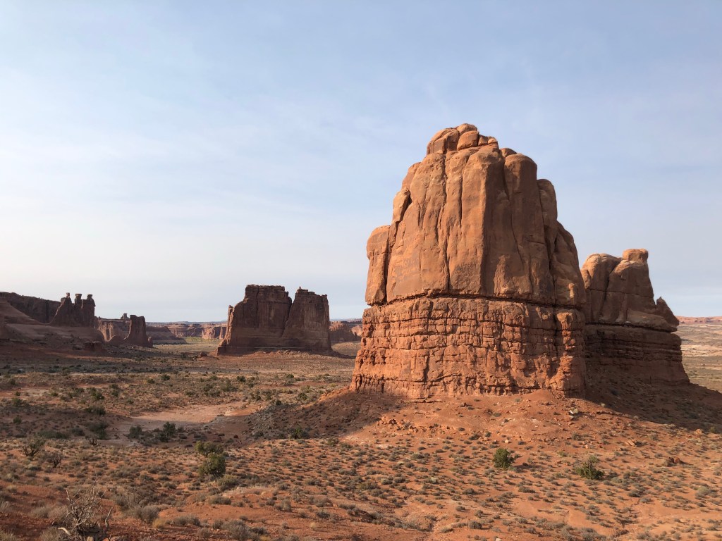
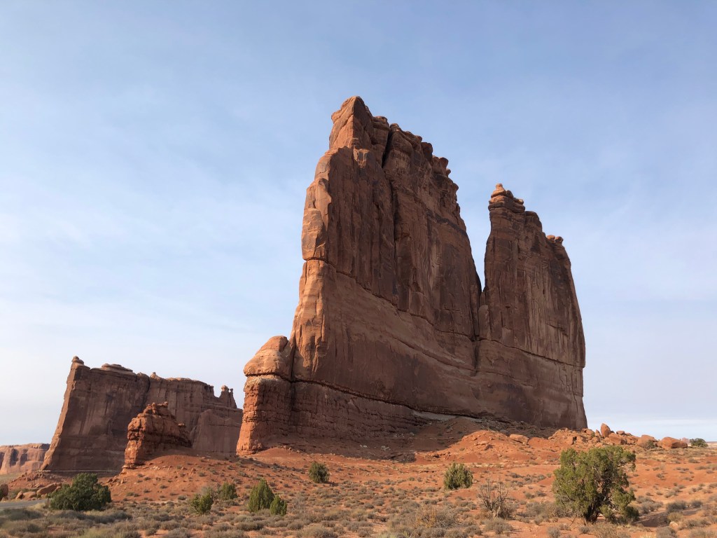
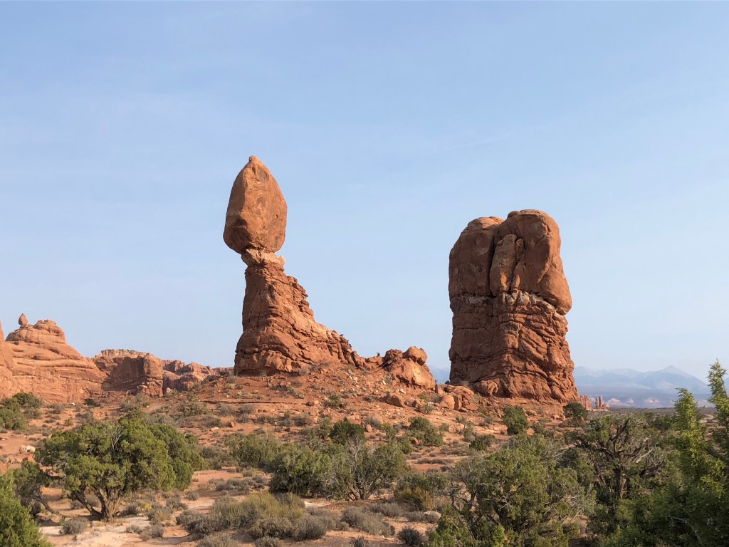
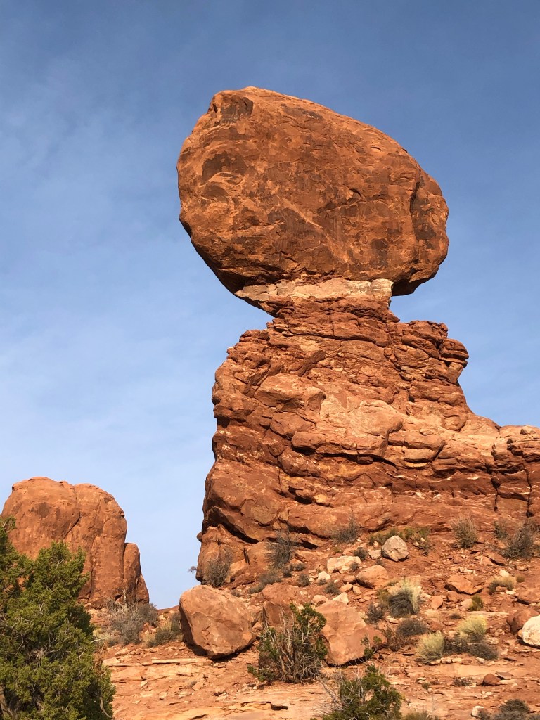
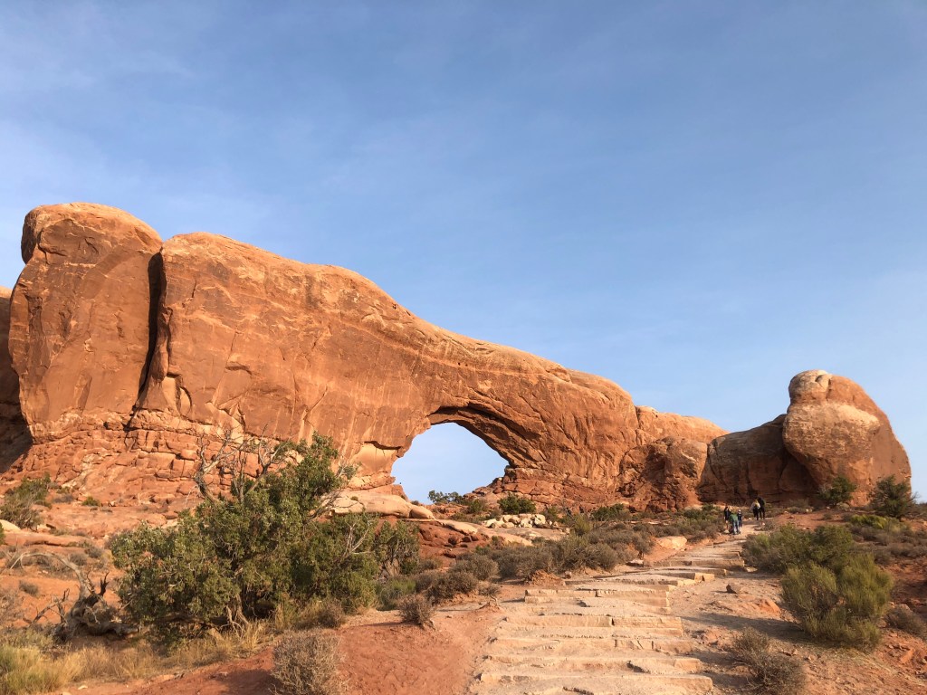
One of the arches of Arches 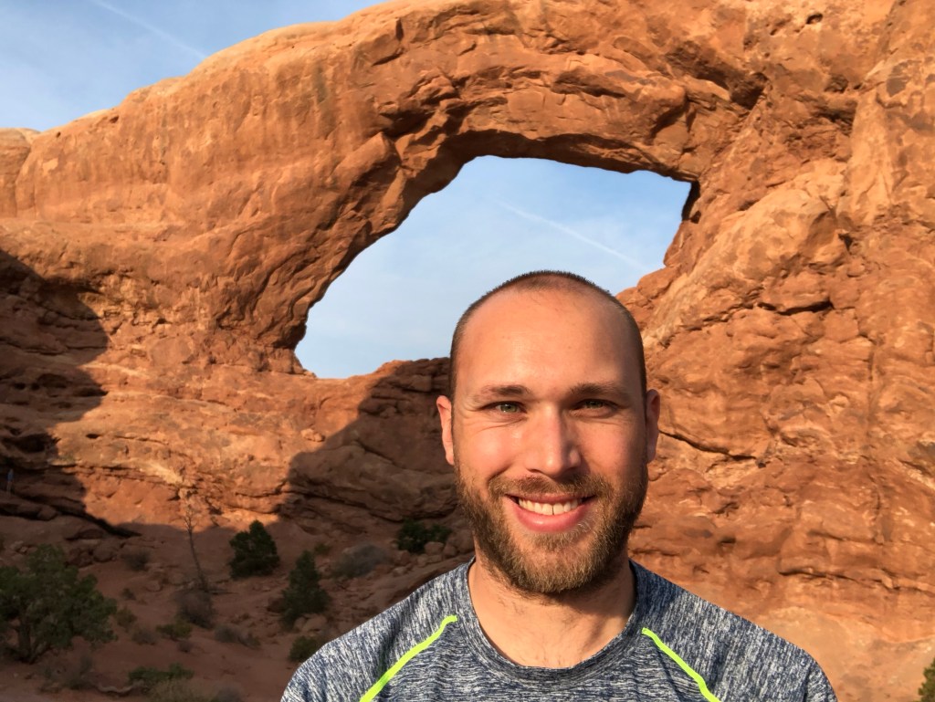
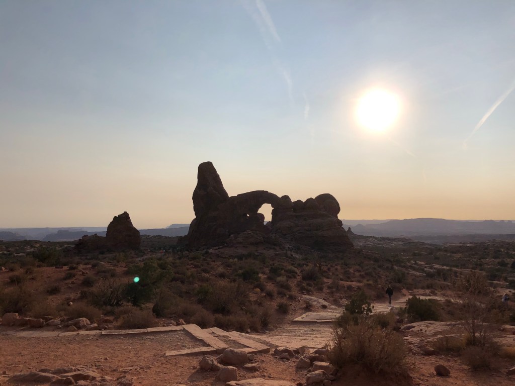
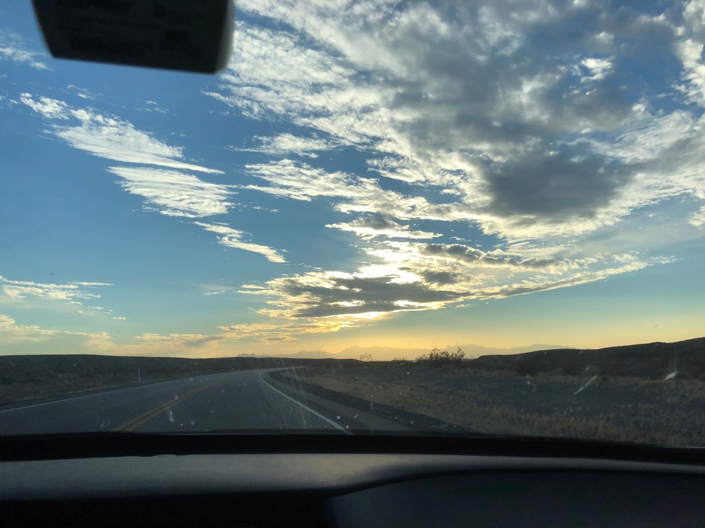
I wound up getting out of Arches close to 6pm. Not ideal when comparing it against how I had planned my day, but fully worth it. I began driving into the sun and was treated to a lovely sunset which disappeared beneath the mesa. I pulled off for tacos in the depressed town of Green River right as the sun became fully obscured by said mesa. The landscape was new and again a welcome series of sights. However the sunset unfortunately this meant that my last 90+ minutes driving were in the dark. I generally wanted to avoid this for purposes of safety, fatigue, and wayfinding. Not the worst thing in the world, my biggest regret was actually the sightseeing factor. I could assume this drive was beautiful because I could make out the silhouettes of rock formations, there were frequent parking lots for view areas, and at least one canyon. And also, as Gary said and I concurred, Utah as a whole is basically a National Park. But on I went. I did have some excitement – shortly after passing a sign for deer crossing I noticed something in the road ahead. Not a deer, this was actually a big black cow in the opposite travel lane of the two-lane local highway I was on. Fortunately I caught the reflection of my brights in its eye and the tag on it’s ear (and it wasn’t in my lane). I came to a near-screeching halt and starting cursing profusely. The cow had two more compadres along the road, none of which seemed concerned about my car’s presence. Once I caught my breath I very slowly continued southwest to Koosharem where the remainder of the drive was a breeze albeit now far slower than the speed limit. There were a few signs along the way for ‘open range’ cow crossings.
Green River UT 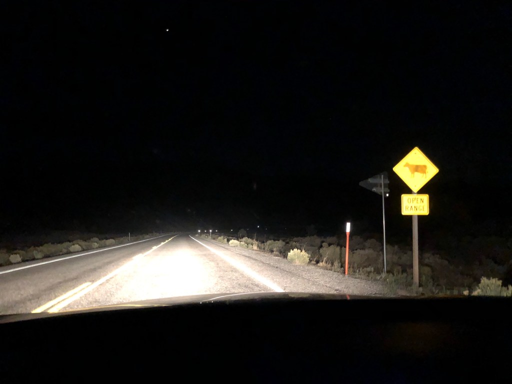
Shortly after I almost hit a cow
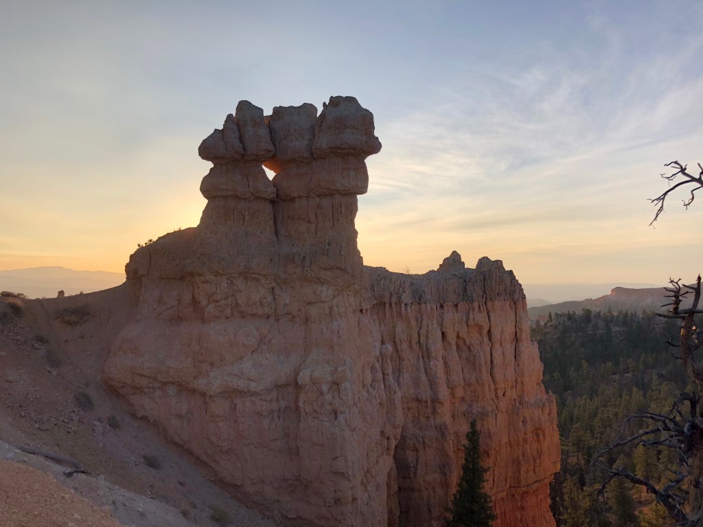
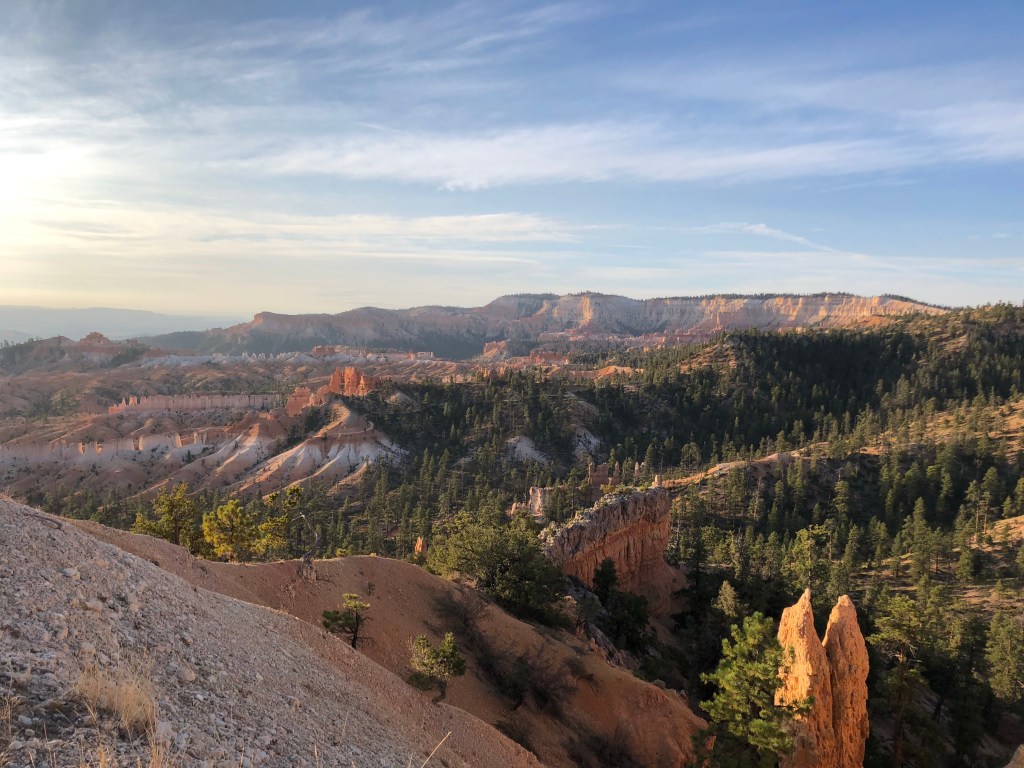
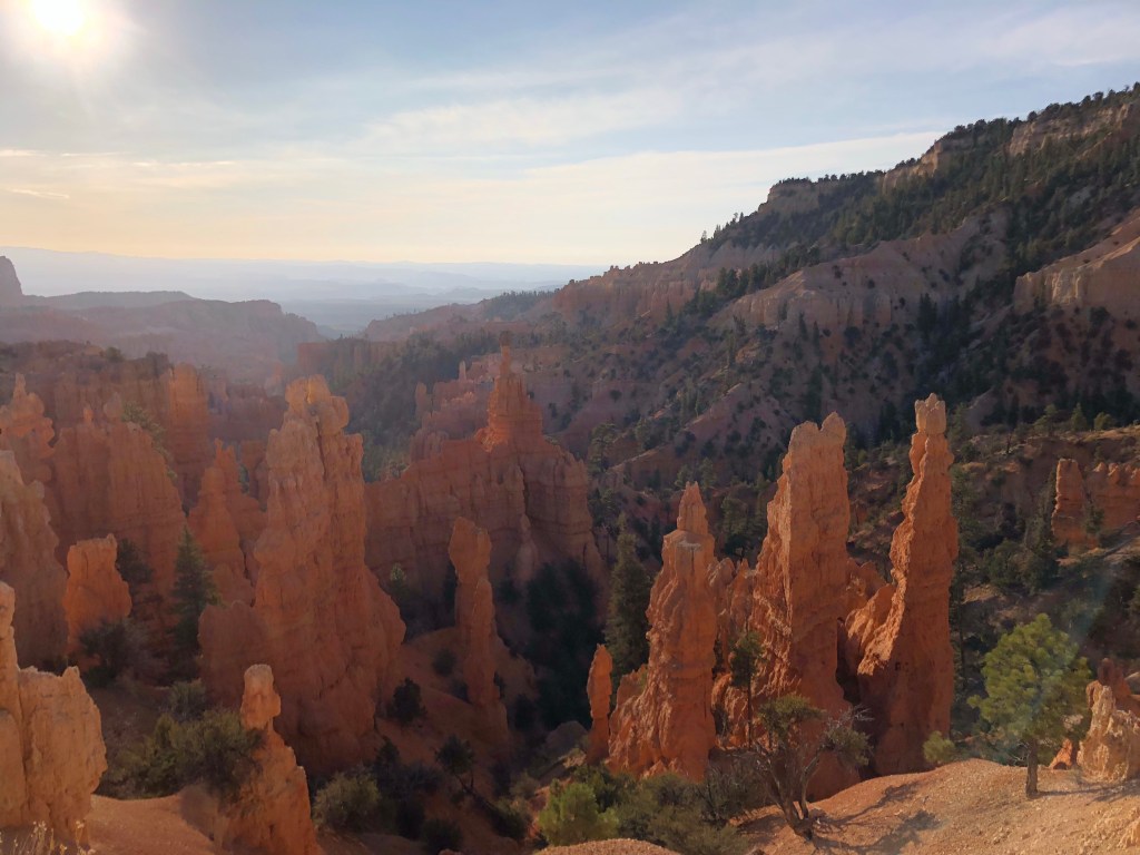
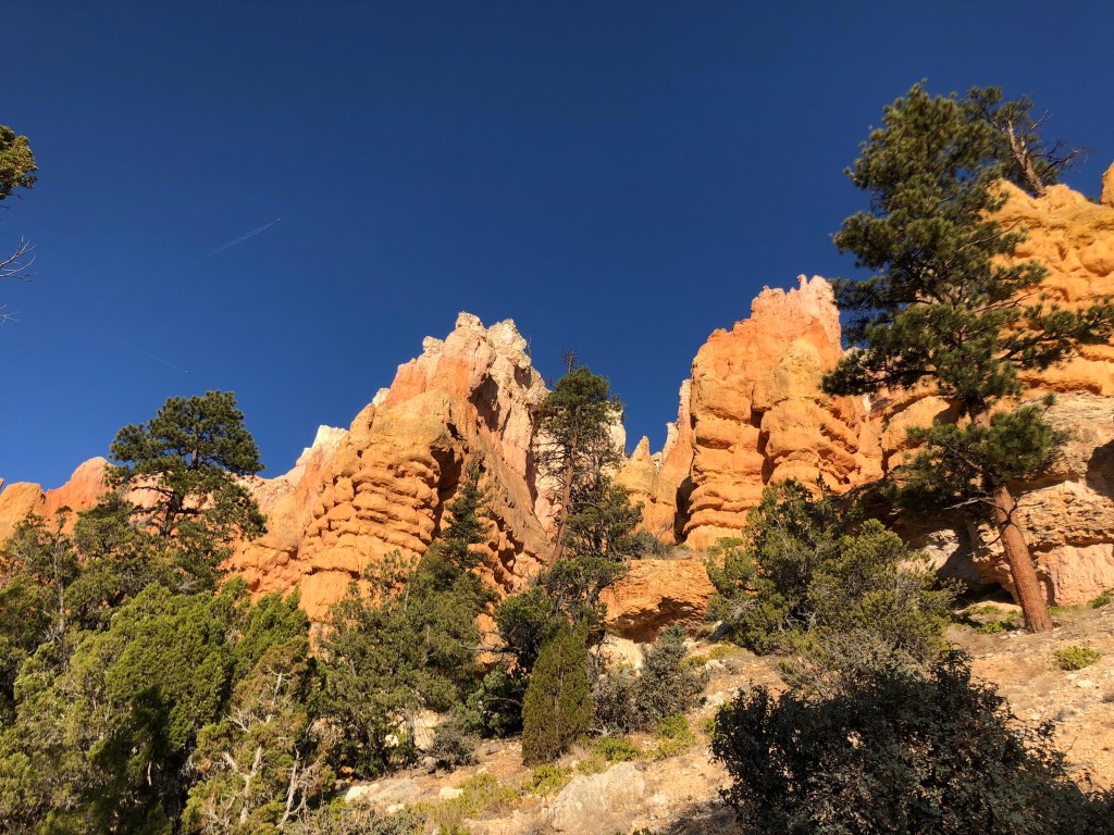
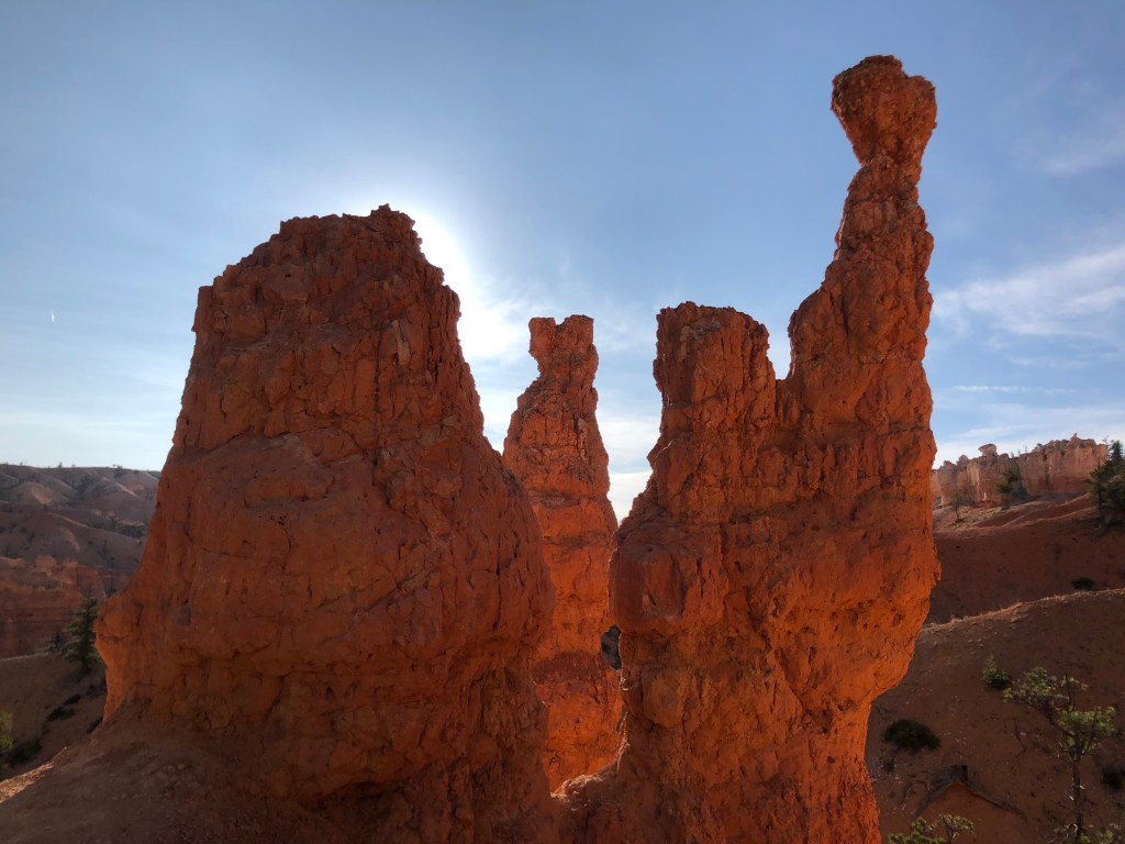
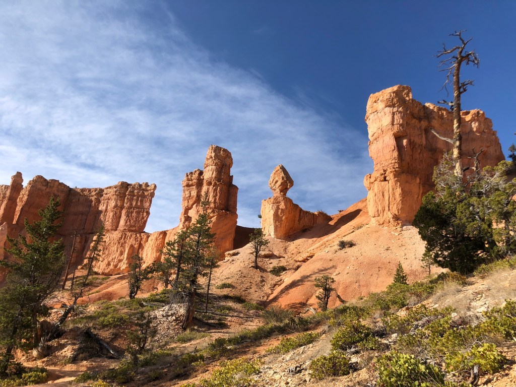
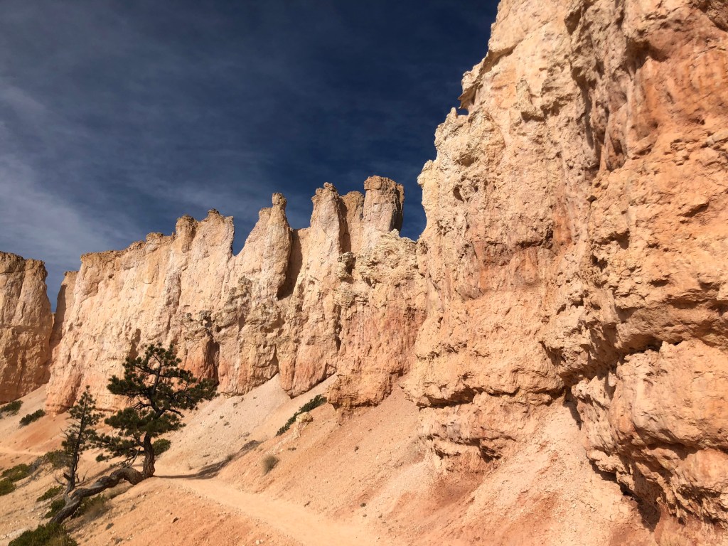
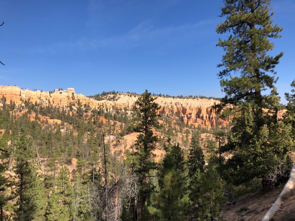
On Saturday I was up around 5:30 to hit the road by 6 and get to Bryce Canyon National Park by 7:30 to see the sunrise there. A general store breakfast on the way consisted of a banana, coffee, and inedible packaged blueberry muffins. Thank the good lord for Costco Nut Bars. I was happy with my timing as I arrived in the park when it was getting light but with plenty of time to find a spot and watch the sun breach the breathtaking horizon. The splendor at Bryce is hard to put into words. Photos cannot do it justice, but below is what I could capture of the sunrise. I had read that the area named ‘Sunrise Point’ was in fact not the best spot to watch the sunrise, but I ignored that recommendation. While it was lovely, it was (somewhat) crowded (the issue here being not only social distancing, but I also had to hear strangers’ chatter during an otherwise blissful moment) and it wasn’t the best view of the canyon. I decided that it was good advice which I ignored. Different angles would’ve allowed for far more dramatic lighting as the sunlight illuminates the sandstone hoodoos rather than staring directly at the sun, which would’ve been visible from many other vantage points on the canyon’s rim. But no regrets, because of this:
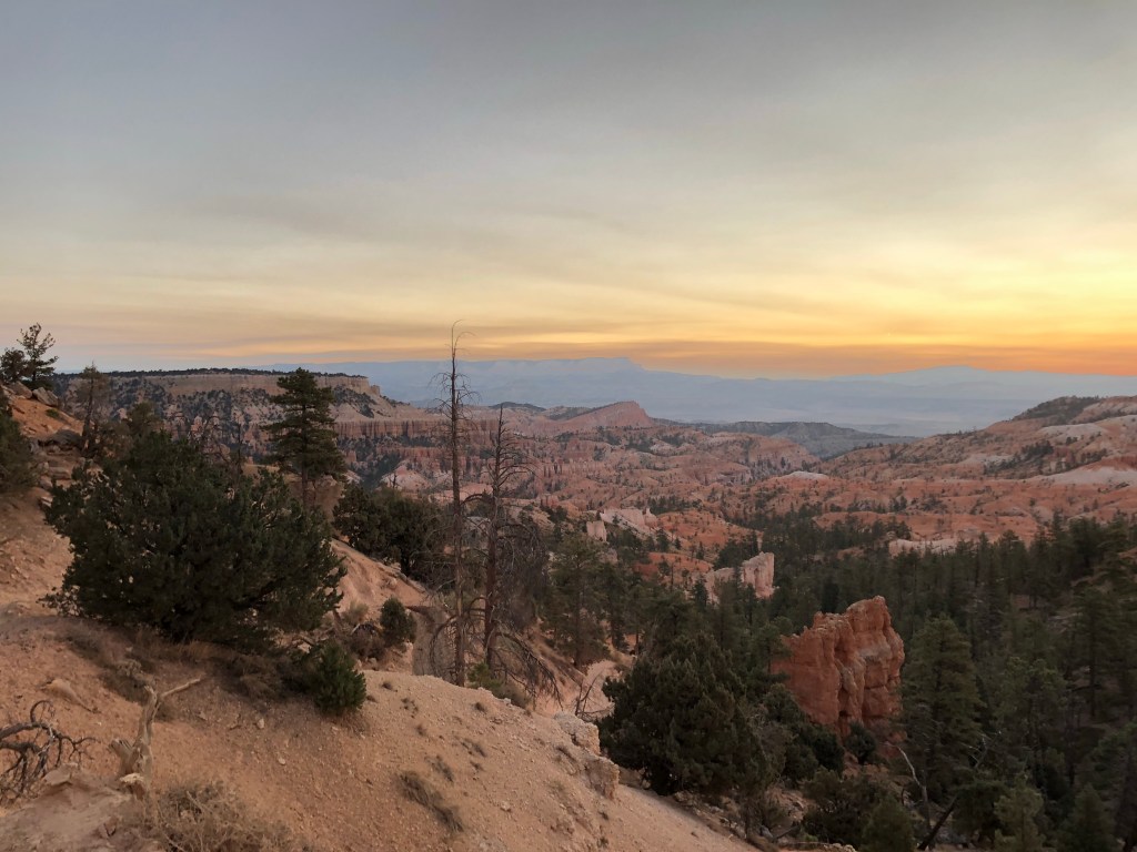
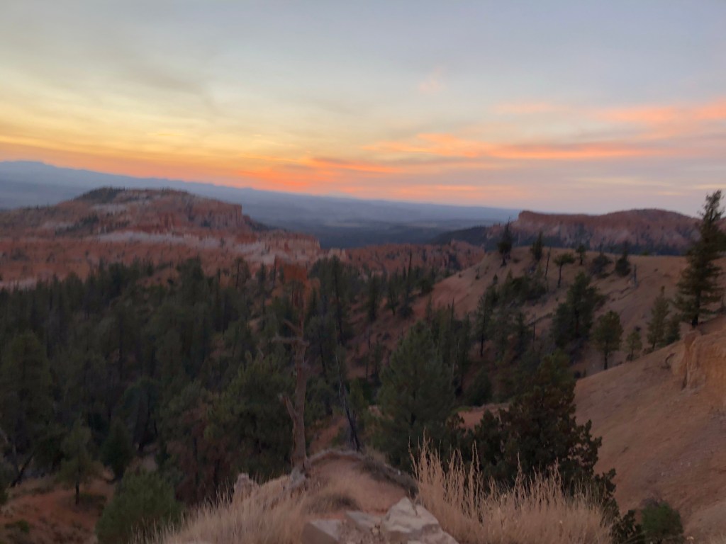
Sunrise over Bryce 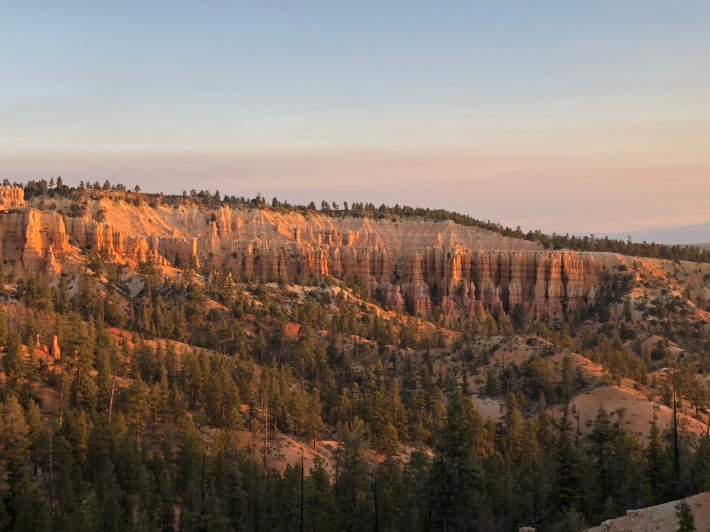
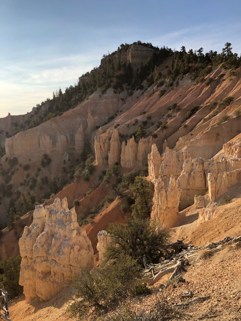
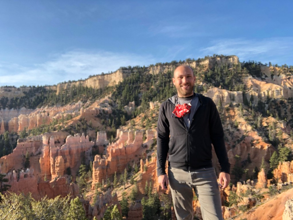
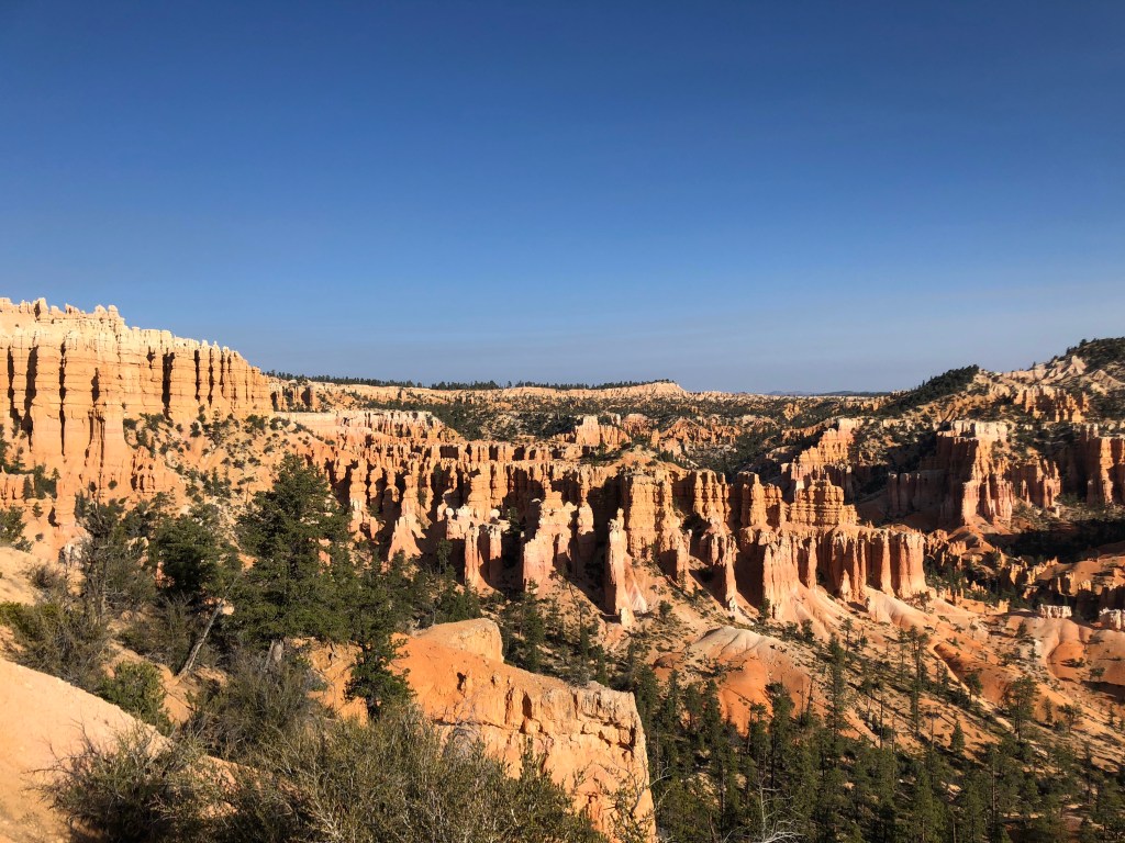
After sunrise I went on an approximately 6 mile hike within the more northern section of the park, a loop from Sunrise Point to Fairyland. This was from about 8am until 11 or so. There were many people on the hike but it was early and long enough to never feel crowded. About 2/3 of people had their masks at the ready and slipped them on when passing others, myself included. I took 215 photos on this hike (in my blog I previously used hyperbole when sharing photo stats, but this one’s true). Here are a handful of them as I try to convey the awesome beauty of this place.
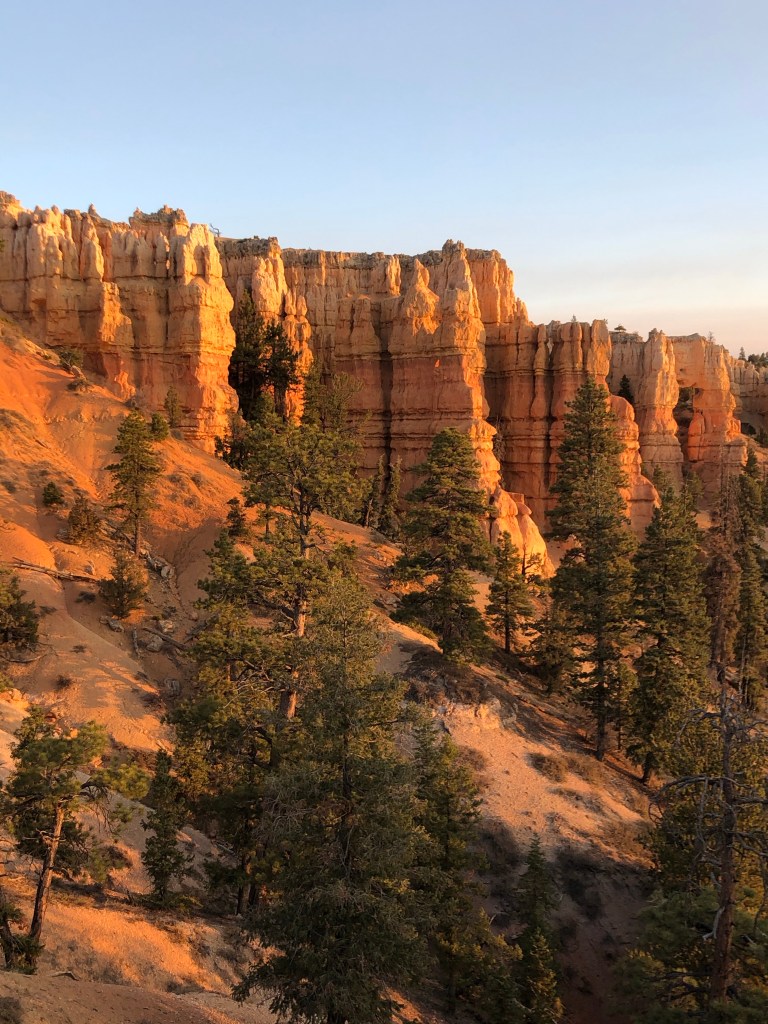
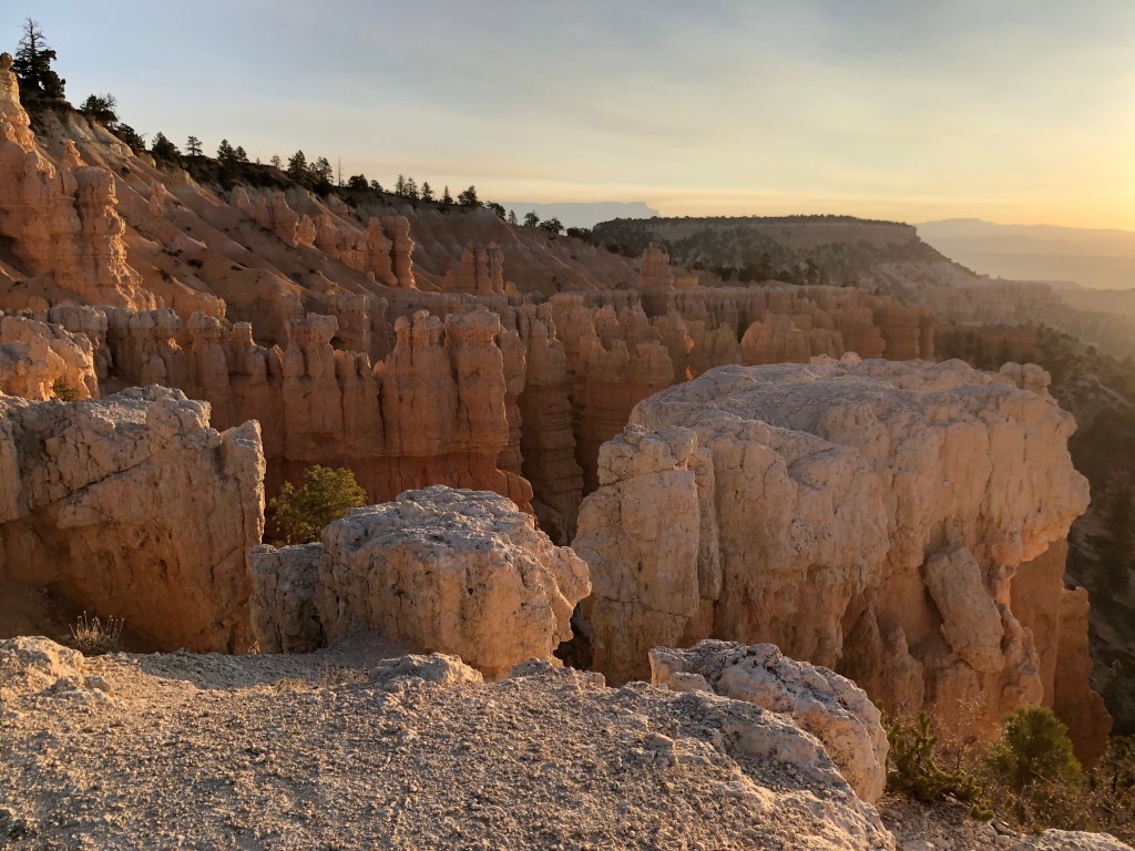
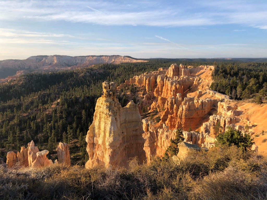
So many hoodoos! 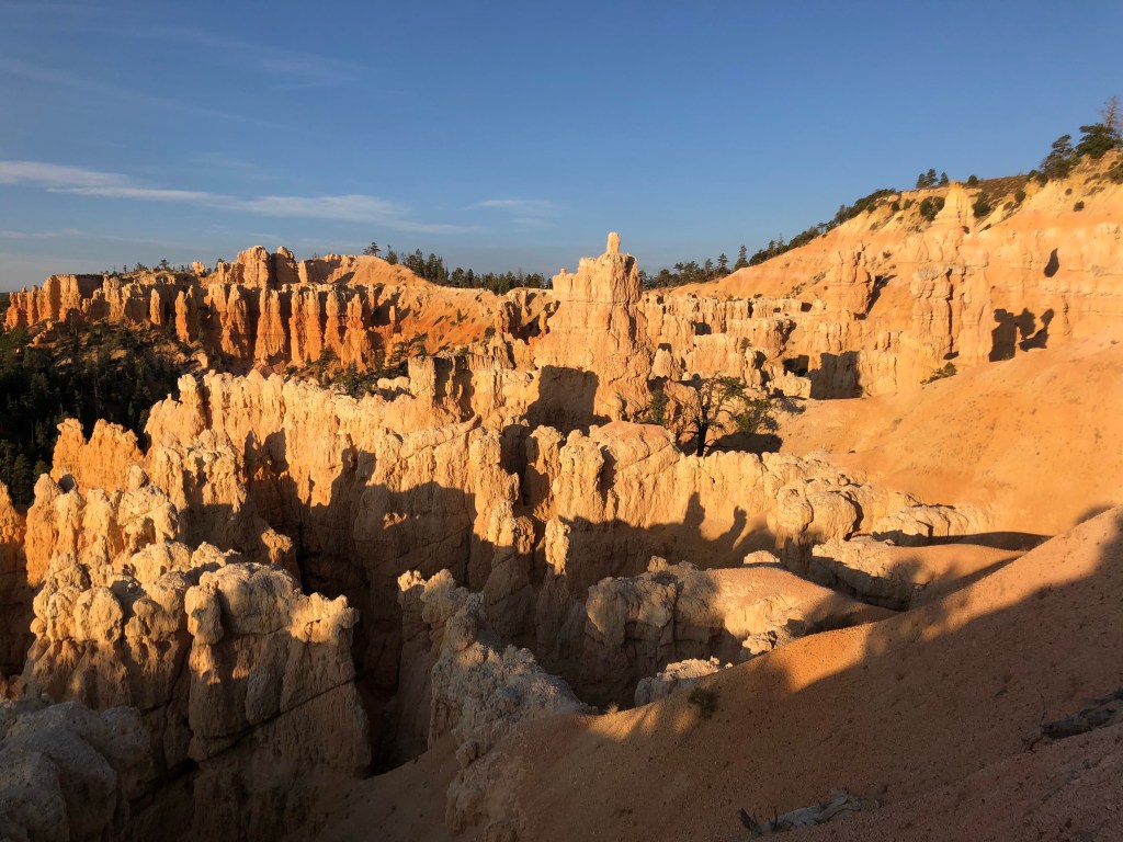
Who, me? 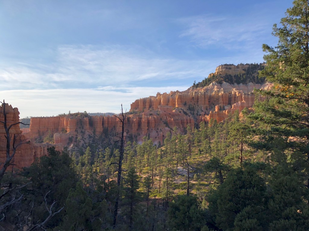
I toyed with the idea of continuing along the southern side of the rim within Bryce but I’d had enough walking for a bit and it was nearly lunchtime. My next destination was Goldfield NV where I’d be spending the night, but I had an extra hour or two to play with in the day and a couple of options on my route there so I figured I’d head toward Zion and see if I could hit my 3rd Utah National Park in 2 days. I got lunch near Zion at what was effectively a rest stop, ordering a takeout meal from a restaurant. Almost nobody was masked within the building. As I (or the other few masked patrons) approached staff they would quickly slip their mask on, but left it off when interacting with the maskless masses. I overheard one conversation of a couple of women saying “you can spot the liberals by their masks.” A part of me wanted to engage but most of me wanted to get my chicken sandwich and get the hell out of that place. After I gobbled down lunch I decided against Zion. I’d be too pressed for time and figured I wouldn’t be able to enjoy it. Instead I tried to do a short hike in a canyon, which I drove to, but it turned out to be an ATV course. In retrospect I should’ve spent the rest of my morning in southern Bryce. I had now wasted enough time and gone a little out of my way that I was ready to head to Nevada. On my way out of Utah I passed Coral Sand Dune State Park and figured what the heck, I’ll check it out. It was neat to look at but didn’t compare with some of the other unbelievable sights around. The ultra-fine sand was obviously coral in color, made up of quartz which was pigmented from rusted iron over millions of years when this area was underwater. Cool. Definitely a good spot to bring a sled/snowboard/ATV/etc. which many in the know were doing, but I just walked on the sandy dunes for a couple of minutes before deciding that it was time to finish my Saturday drive.
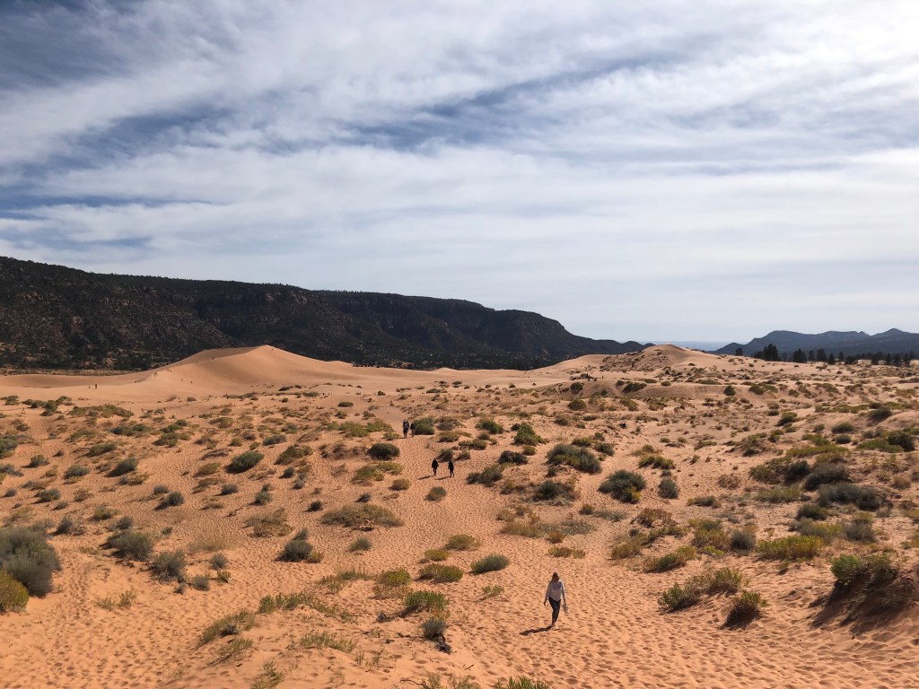
Coral Sand Dune State Park 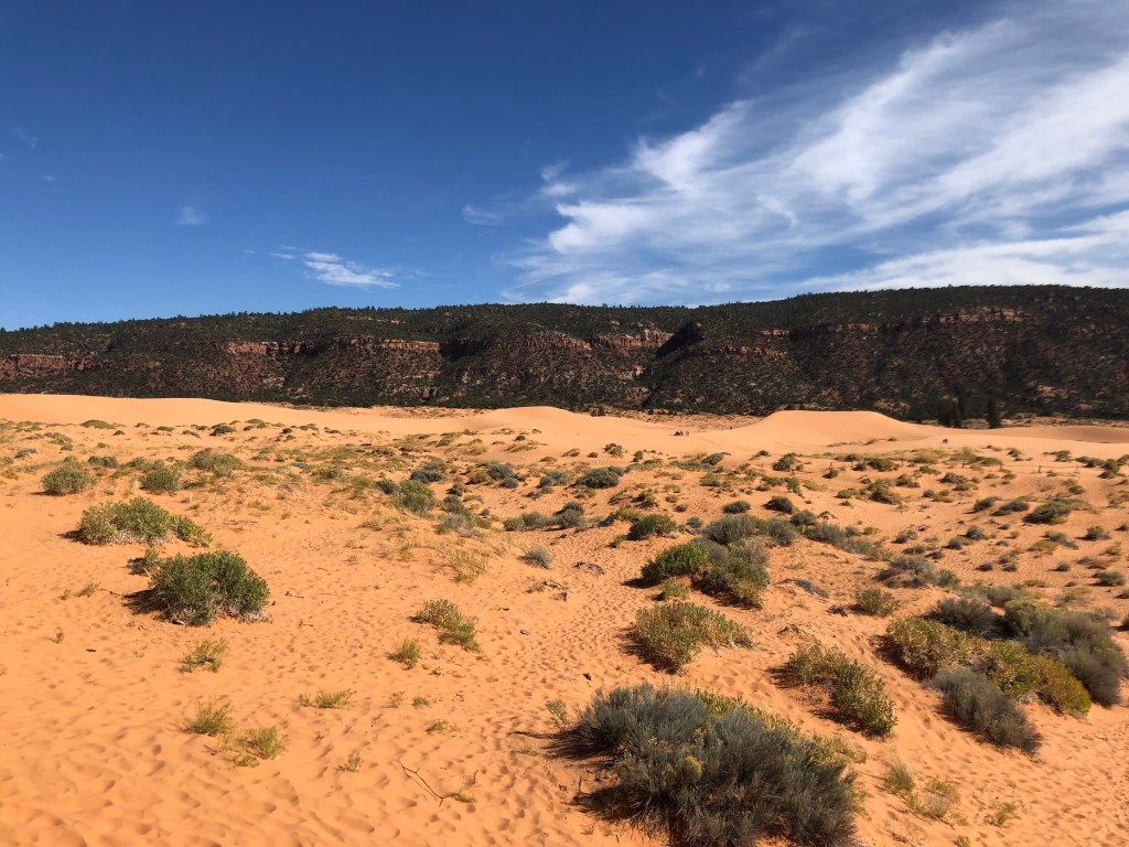
Leaving Coral Sands I had no cell service and was out of the area of the ‘Offline Map’ I had downloaded in anticipation of no service, but I figured I couldn’t go wrong by heading west. I wasn’t lost per say but certainly didn’t know where I was. I think I slipped into Arizona on a winding local road. It was gorgeous. Every turn exposed me to yet another unimaginably large and beautiful formation. As my GPS got back into gear my route took me back into Utah and then Arizona again, before Nevada where I was within 8 miles of Vegas. On to Goldfield I went, with another fantastic day in the books. My one last noteworthy moment of the day was getting gas in rural Nevada, where the gas pumps were outside what was billed as an Alien Cafe, an Alien Brothel, and a Massage Parlor, which also appeared to serve as the convenience store for the gas pumps. I have to admit I did wonder as to what this place looked like inside, but curiosity (and my cautious approach to germ exposure) did not get the better of me and after filling my tank I got back on the road.
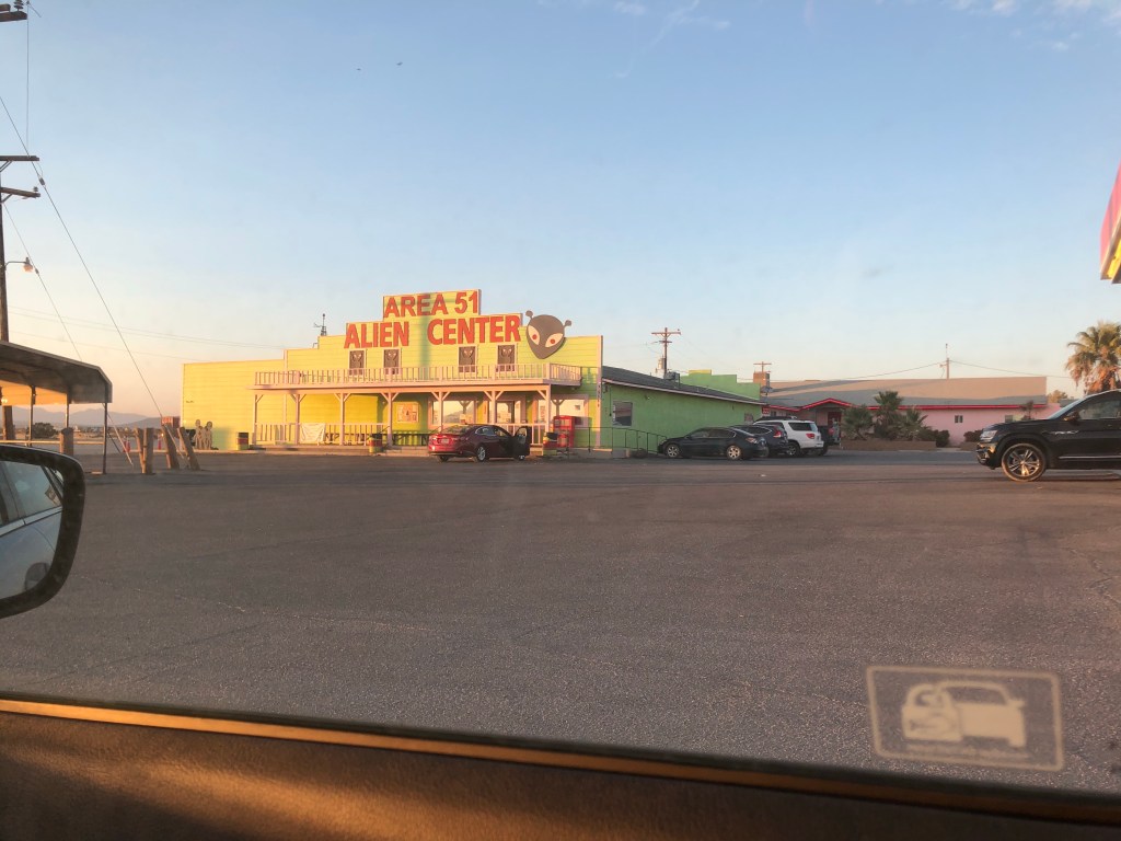
I want to believe 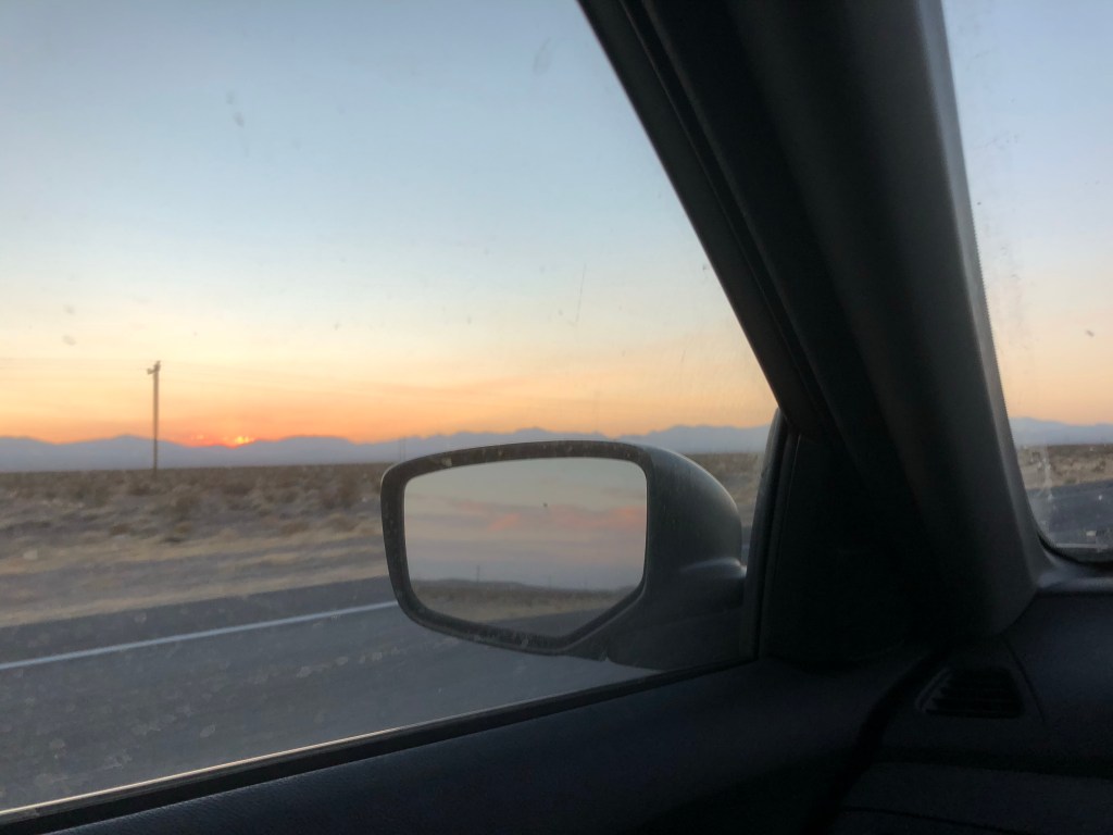
My eighth day was the last day of the trip! With my Widdershinning days far behind, my Shinning was also about to come to an end! Oh how bittersweet. I thoroughly enjoyed it all but was fully ready for a break from the driving. My full day stop in Vail probably helped energize me for the last few days on the road again. I never have more than 9 hours behind the wheel per day, and took frequent stops (for sightseeing or bathroom breaks or to stretch or look at my phone or you’ve driven before so I don’t need to continue to list every which reason one might pull off the road for a minute or 60). After waking up in Goldfield (this time to no alarm and with no intention of seeing the sunrise) I got up early anyway, unable to sleep 8 hours through the night.
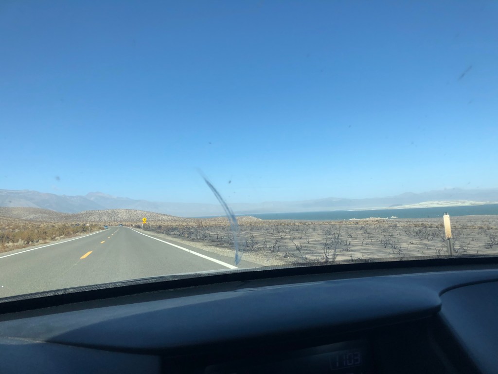
I headed northwest from Goldfield, got breakfast in Tonopah NV, and then finally crossed into my new home state of California. This got a little hillier and greener. It was here that I had my first run in with the law. Maybe 30 minutes into California I approached a state department of agriculture checkpoint. They asked if I was coming from New York and then asked me to pull to the side. The officer wanted to see my sleeping bag (and tent and wood and plants and fruits and veggies none of which I had). I had to remove my bike rack to get into the trunk and then shake out my sleeping bag and let him inspect it for gypsy moths. He was surprised when he saw how full my car was and I explained that I was moving to California. “Trying to get away from the Covid?” he asked. “No, the Covid’s everywhere. Got a job in Berkeley.” I responded He then let me go, an unusual 10 minute detour.
Unceremoniously welcomed to my new home 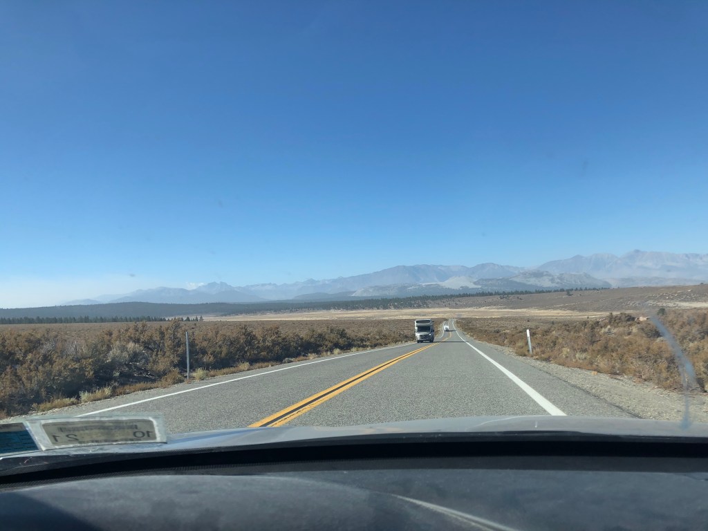
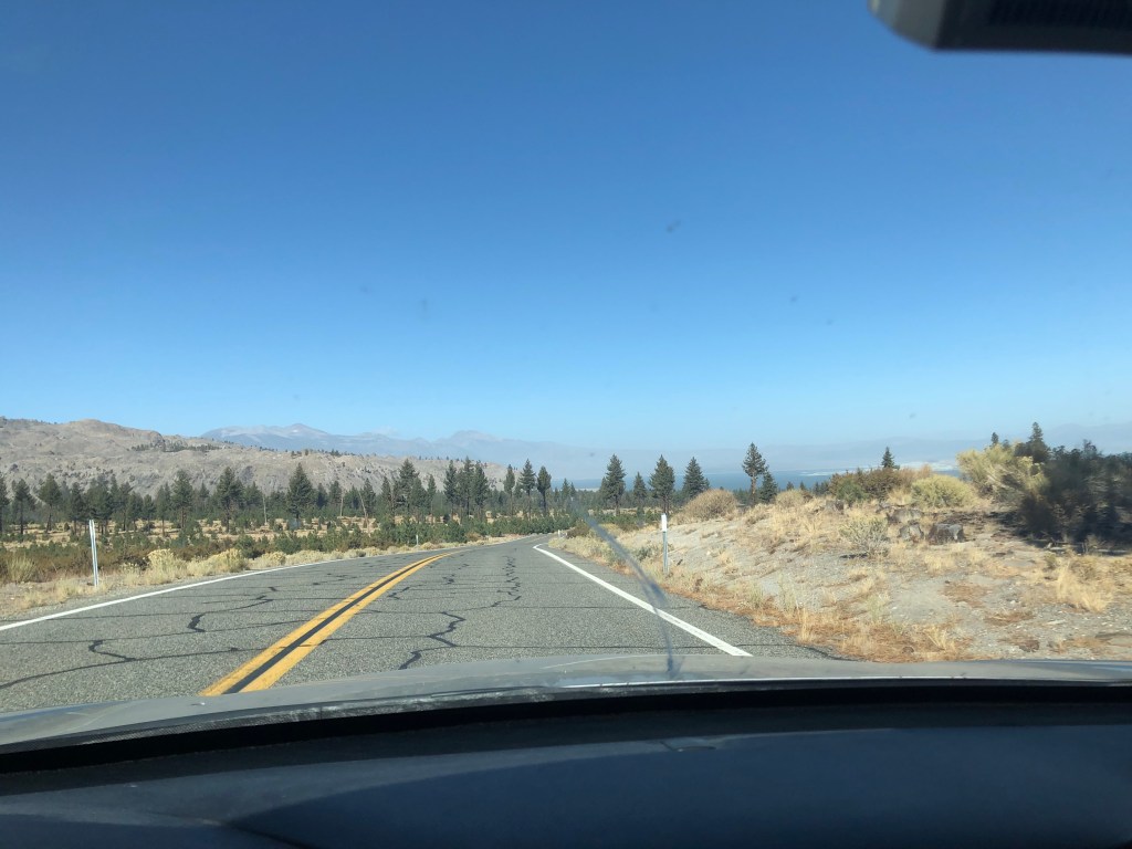
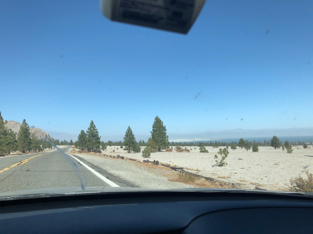
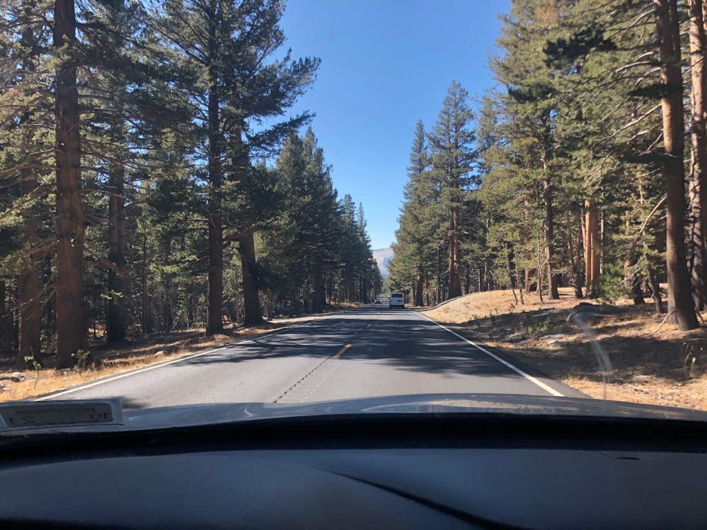
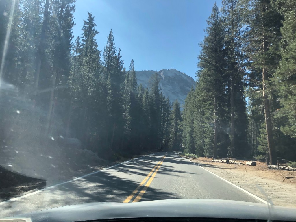
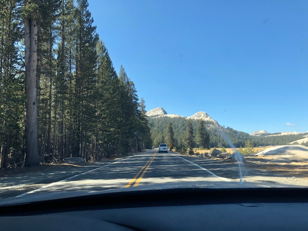
From Goldfield the most direct route was through Yosemite, which I was excited about. I did not do any research ahead of time on what that would be like. I did see a sign that said the Tioga Pass (which leads to Yosemite) was open so I thought nothing of it and drove uphill forever to get to the National Par’s eastern entrance. Eventually I hit the entry traffic, and then sat for about 20 minutes before I saw the sign that said reservations required, have pass in hand. Uh oh. I had already driven about 30 minutes along the dedicated road to get here, and sat for another 20, so I figured I might as well press my luck and stay in line (about a third of the cars turned around here). Another 20 minutes later I got to the gate and shared an apology and explanation – I was moving to Berkeley, my GPS sent me this way, and was not longer working. It worked! I paid the entry fee and received a courtesy pass which did not allow me to park. I happily drove through the incredible scenery, and while I could’ve violated their terms and parked to snap photos or maybe even hike, I did not.
Yo, Semite 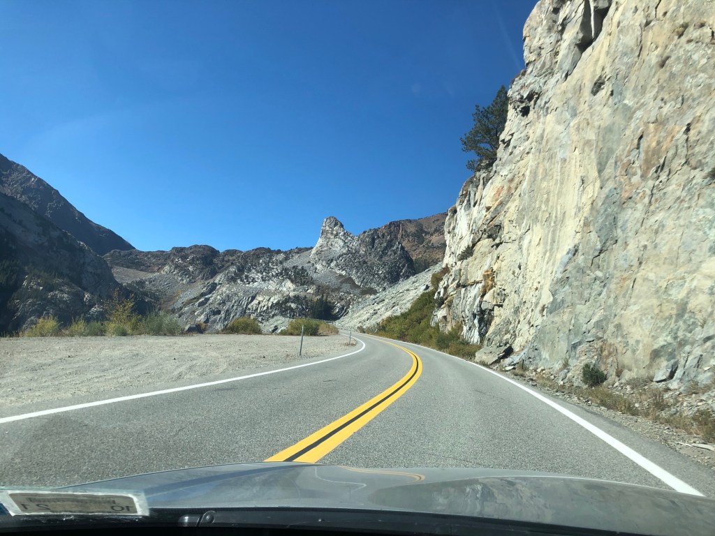
Following Yosemite I grabbed lunch, my final tank of gas, and then no stops til Berkeley. Downhill from Yosemite was also beautiful, and once the terrain was little flatter it was predominantly farmland. The traffic in Northern California wasn’t awful (on a Sunday afternoon-evening) but was more present than in most places on my drive. Before I knew it I was pulling into a parking spot right outside my final AirBnB where I’m staying for the next month while I shop for a neighborhood and lease.
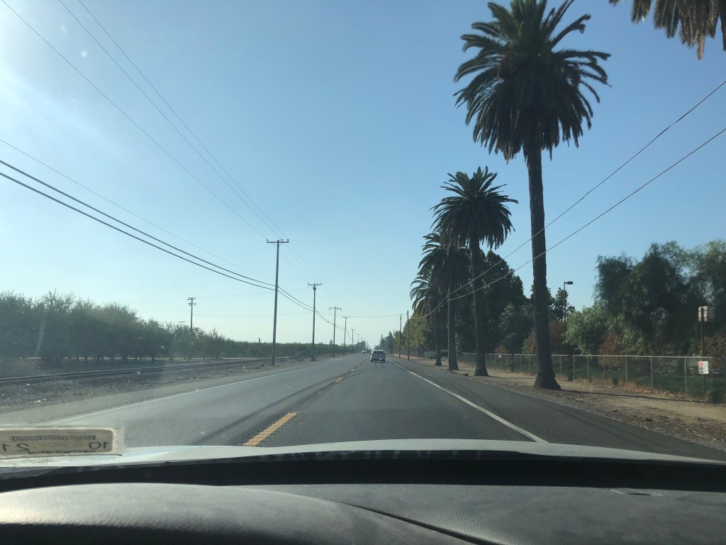
Palm trees and farms 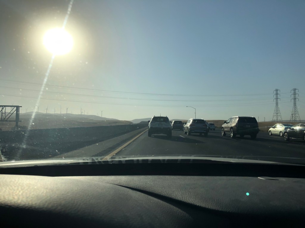
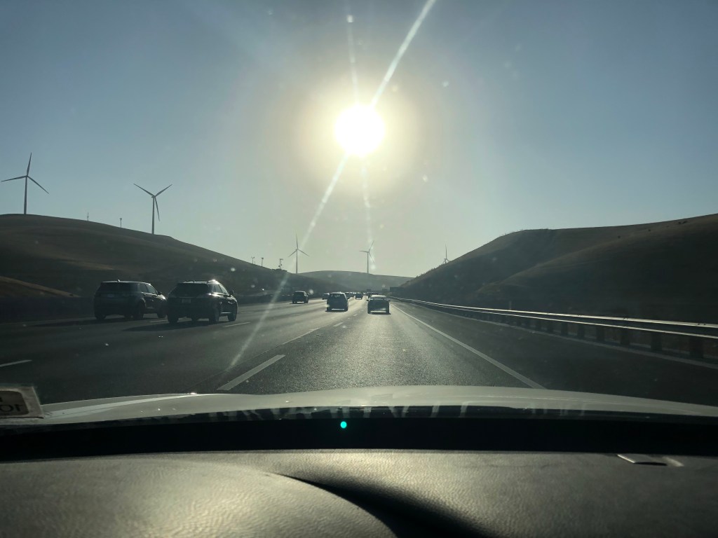
And wind turbines and traffic 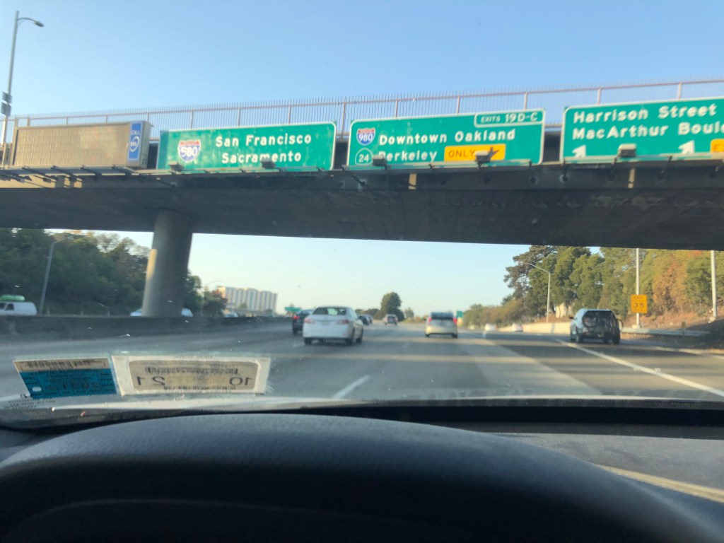
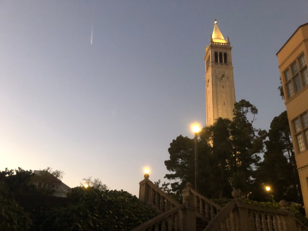
Once my car was emptied into the apartment I went for a bike ride over to UC Berkeley’s campus and wandered around while the sun set beyond San Francisco.
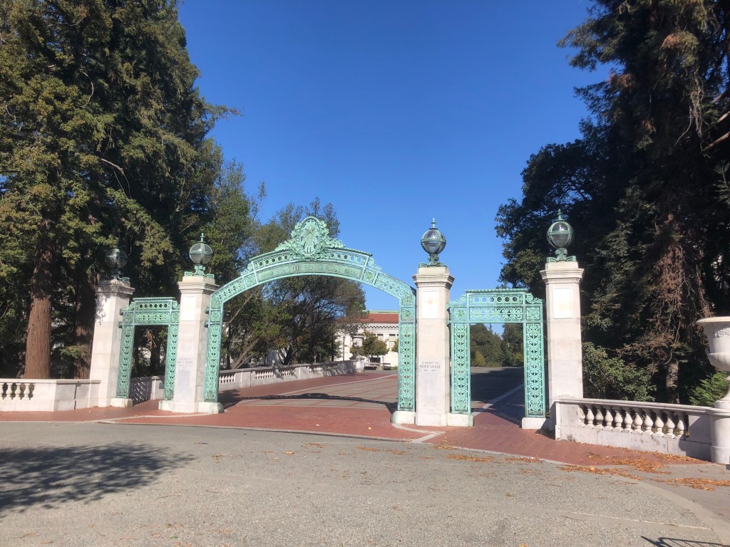
UC Berrkeley 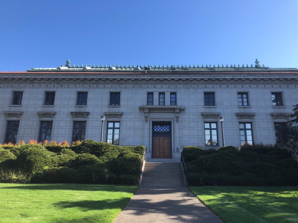
I will work here one day 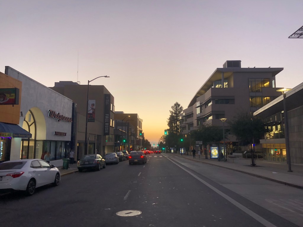
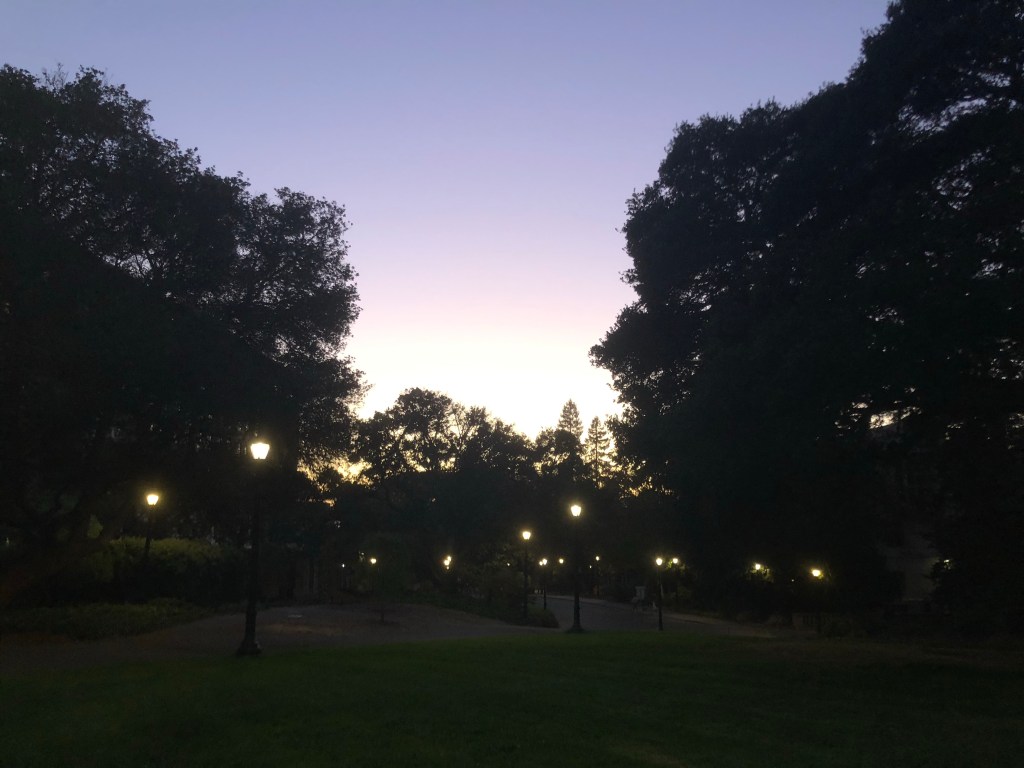
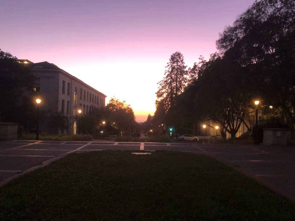
California Sunset
And now my travels are done. I’m excited to explore my new locale, with the goal of getting to know Berkeley and Oakland in the near term because I expect I’ll live in one of them. I have a week before I start the new job which will be spent running errands and exploring. I’m also generating both a culinary and a hiking bucket list of the area. The aspect of life here I expect to be the biggest challenge is the social one – meeting people during a pandemic is daunting. I can attest that maintaining contact with friends isn’t as easy as it had been, and making new ones is unfathomable right now. Fortunately I know a few locals between my cousins Karen and Alex and some friends who I generally haven’t been in touch with but am rekindling the connection. I’ll certainly have plenty of recent travels to talk about… which brings me to my final thoughts.
The last 13 months have been a wild ride. 21 countries and 21 states! I got to get in a few trips of a lifetime, with my month in Europe, three months in Asia, and cross country drive. Now that I’ve seen a solid showing of the world and the US, I second my thought of why Americans less often travel abroad – there’s so much for one to want or need to see here. This country truly is beautiful. I especially enjoyed what I thought of as the ‘frontier’ scenery from Colorado through California. The way the earth has formed here is certainly unique and stupendously gorgeous. When I first imagined Widdershinning the country I had hoped to interact with locals across the states. Having instead Shinned it during Coronavirus I had the opposite goal and wanted to minimize my contact with people. While it was one less facet, I don’t feel cheated because the changing environment carried so much awe. My week cross country was certainly the cherry on top of my world travels, which I look forward to building upon down the road. After all I still have 10 states and 3 continents to visit (and something like 163 countries if I feel ambitious).
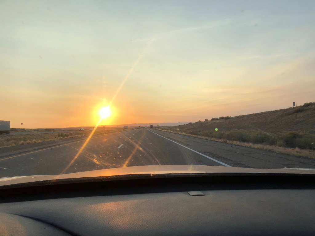
One benefit from Shinning USA was the sunlight. By driving ‘with’ the sun I was able to gain about 30 minutes of sunlight each day – think about it, the sun sets an hour later in each western time zone, and I had 7 driving days over which I gained 3 hours. Additionally, I did my most non-stop driving in the mornings, where the sun was at my back, and my evening drives were treated to some spectacular sunsets in the background. Having chased sunsets around the world for a few months, it was nice to drive into some more at home. Despite this being my home country, I felt a stronger connection to many of the backpackers around the world than the Americans I saw or interacted with on this trip. Some of that might’ve been pandemic-caused distancing, but I expect the current political climate made me feel at odds with lots of my folk who were overtly on the opposite end of the political spectrum. Now that I live in one of the most liberal places in the country I don’t expect to feel that way about most people I encounter on the street.
It still hasn’t hit me that I live in California now. I’m a west coaster. The Pacific is now my ocean. Andy Dufresne (of Shawshank Redemption) would tell you that the Mexicans say the Pacific has no memory. Whether or not that’s true, I certainly have wonderful memories of that ocean from my time in Asia and Hawaii and California now and looking forward to new memories made here. And with that, a look back on the summaries of this most recent trip:
Shinning Weiss Places
I won’t rehash everything here, but this is a highlight reel form my westbound drive through the states (these photos are repeated from the narrative above):
Shinning Weiss Food

The Best of Shinning Weiss
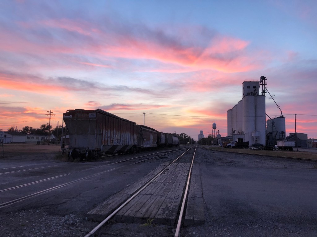
The best state was Utah for its unending beauty. The best city was St. Louis where I’d like to spend more time enjoying the architecture and food. The best town was Ness City Kansas where I enjoyed the abandoned trains, grain elevators, and utterly stunning sunset. The best AirBnB was in St. Louis, clean, big, well furnished, and well located; the best place I stayed was chez Adam and Steph in Vail. The best view was From Vail’s Shrine Pass. The best hike was in Moab’s Grandstaff Canyon. The best National Park was Bryce Canyon. The best food was the ribs from Q39 inKansas City. The best foliage was in western Maryland. The best drive was from Vail to Moab, where I went from the mountains through a canyon to some desert before the mesa and red rocks. The best coast is the west coast.
Shinning Weiss by the Numbers
Days: 8
Miles: 3582.5
Tanks of gas: 11
Elapsed time driving: 58 hours
Time zones: 4
States: 16
Interstates: 11
Cities Experienced (and those seen from the highway) and towns: 7 (and 6) and 12
Tumbleweeds: 4
Steps (approximate): 92,000
New friends and old friends: 1 and 7
Political Signs: 85 Trump Pence, 41 Biden Harris
Hikes: 5
Max Elevation: 11,089 feet
National Parks: 3
Lodging: 5 AirBnBs, 2 nights hosted
That’s all folks! Thanks for reading! Please enjoy my song of the long strange trip as you see yourself out.
